MyTopo
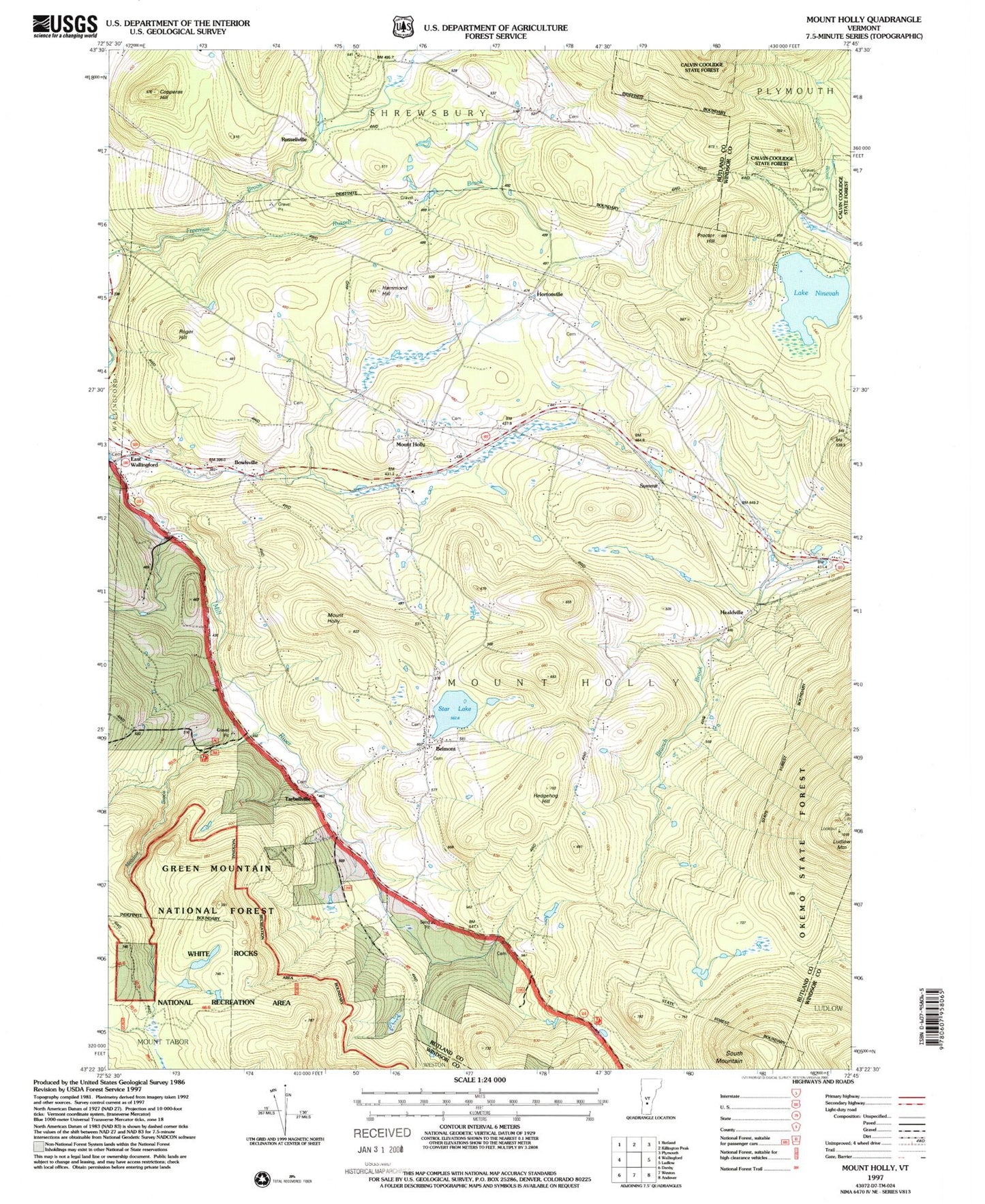
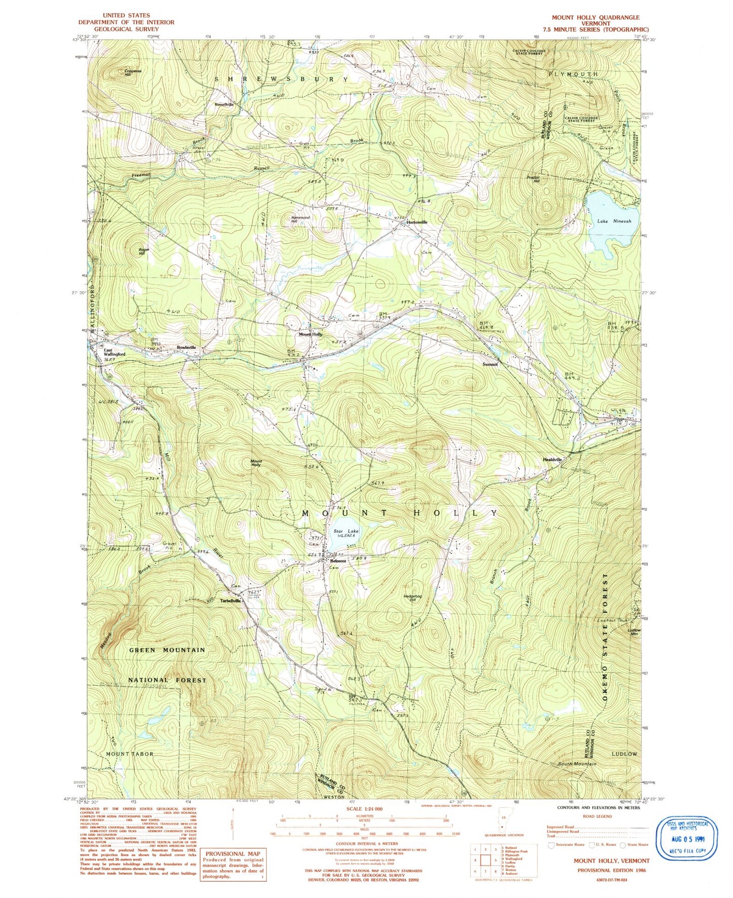
Classic USGS Mount Holly Vermont 7.5'x7.5' Topo Map
Couldn't load pickup availability
Historical USGS topographic quad map of Mount Holly in the state of Vermont. Typical map scale is 1:24,000, but may vary for certain years, if available. Print size: 24" x 27"
This quadrangle is in the following counties: Rutland, Windsor.
The map contains contour lines, roads, rivers, towns, and lakes. Printed on high-quality waterproof paper with UV fade-resistant inks, and shipped rolled.
Contains the following named places: Belmont, Bowlsville, Copperas Hill, Hammond Hill, Healdville, Hedgehog Hill, Mount Holly, Hortonville, Ludlow Mountain, Maple Grove Cemetery, Meadow Brook, Mount Holly, Lake Ninevah, Okemo State Forest, Packer Cemetery, Proctor Hill, Roger Hill, Russell Brook, South Mountain, Star Lake, Summit, Tarbellville, Russellville, Town of Mount Holly, Star Lake Dam, Amherst Lake Dam, Amherst Lake, Lake Ninevah Dam, Belmont Post Office, Camp Windsor, Carlton Cemetery, Community Historical Museum of Mount Holly, Hortonville Cemetery, Mount Holly Cemetery, Mount Holly Elementary School, Mount Holly Heights, Mount Holly Post Office, Mount Holly Town Hall, New Mechanicsville Cemetery, Old Mechanicsville Cemetery, Park Meadows Camping Area, Tabor Cemetery, Tarbellville Cemetery, Woodward-Wilder Cemetery, Calvin Coolidge State Forest, Mount Holly Volunteer Fire Department Station 2, Mount Holly Volunteer Fire Department Station 1, Mount Holly Volunteer Rescue Squad


