MyTopo
Classic USGS Mount Holmes Utah 7.5'x7.5' Topo Map
Regular price
$16.95
Regular price
Sale price
$16.95
Unit price
per
Couldn't load pickup availability
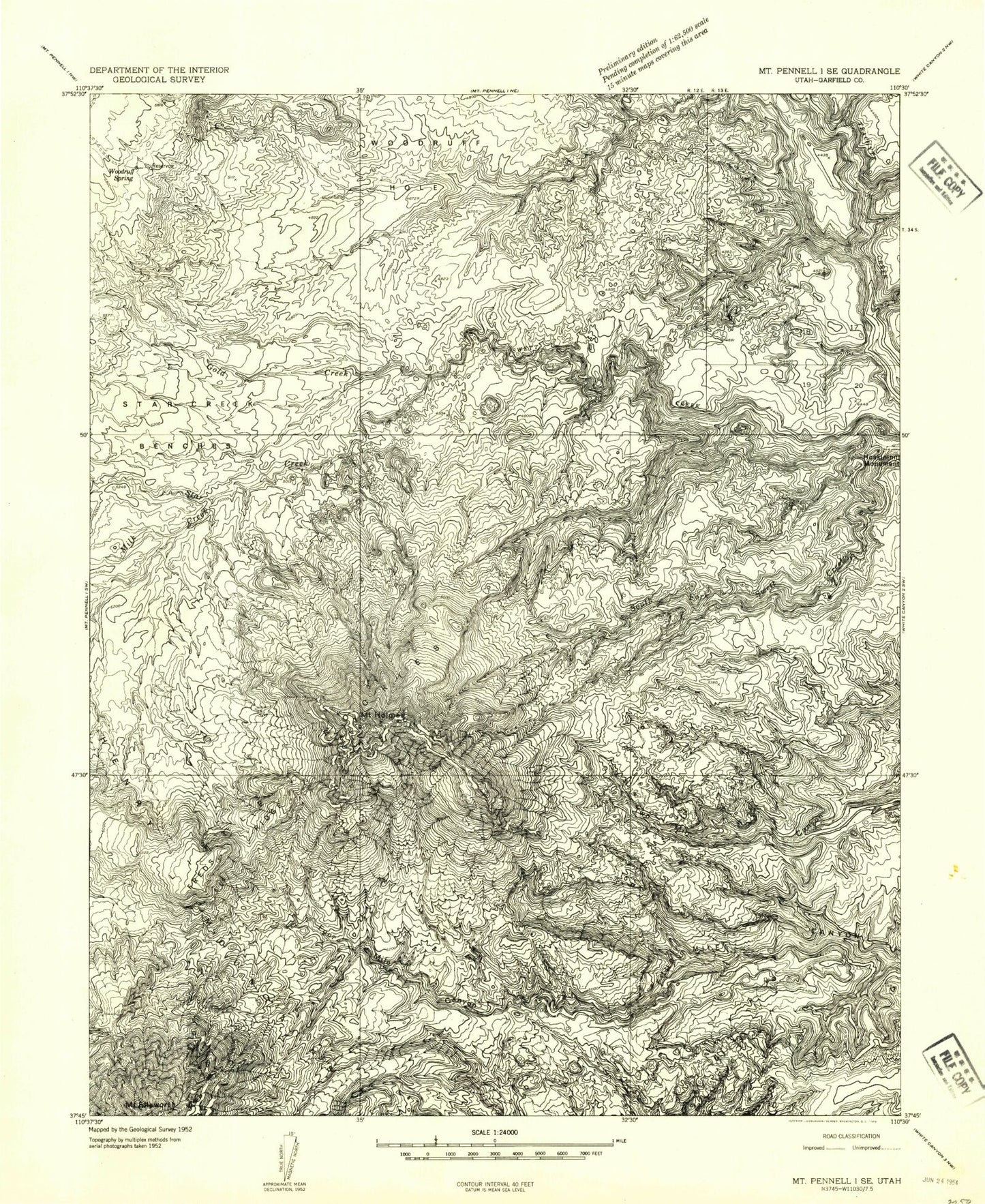
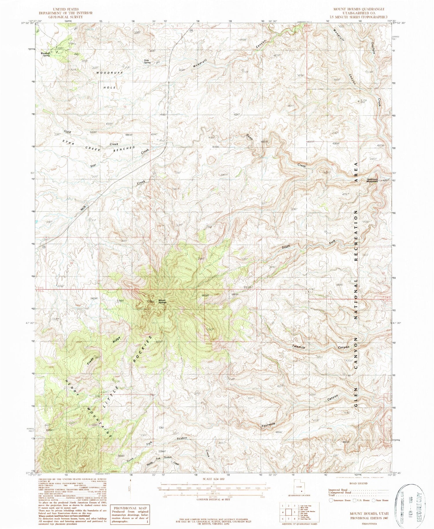
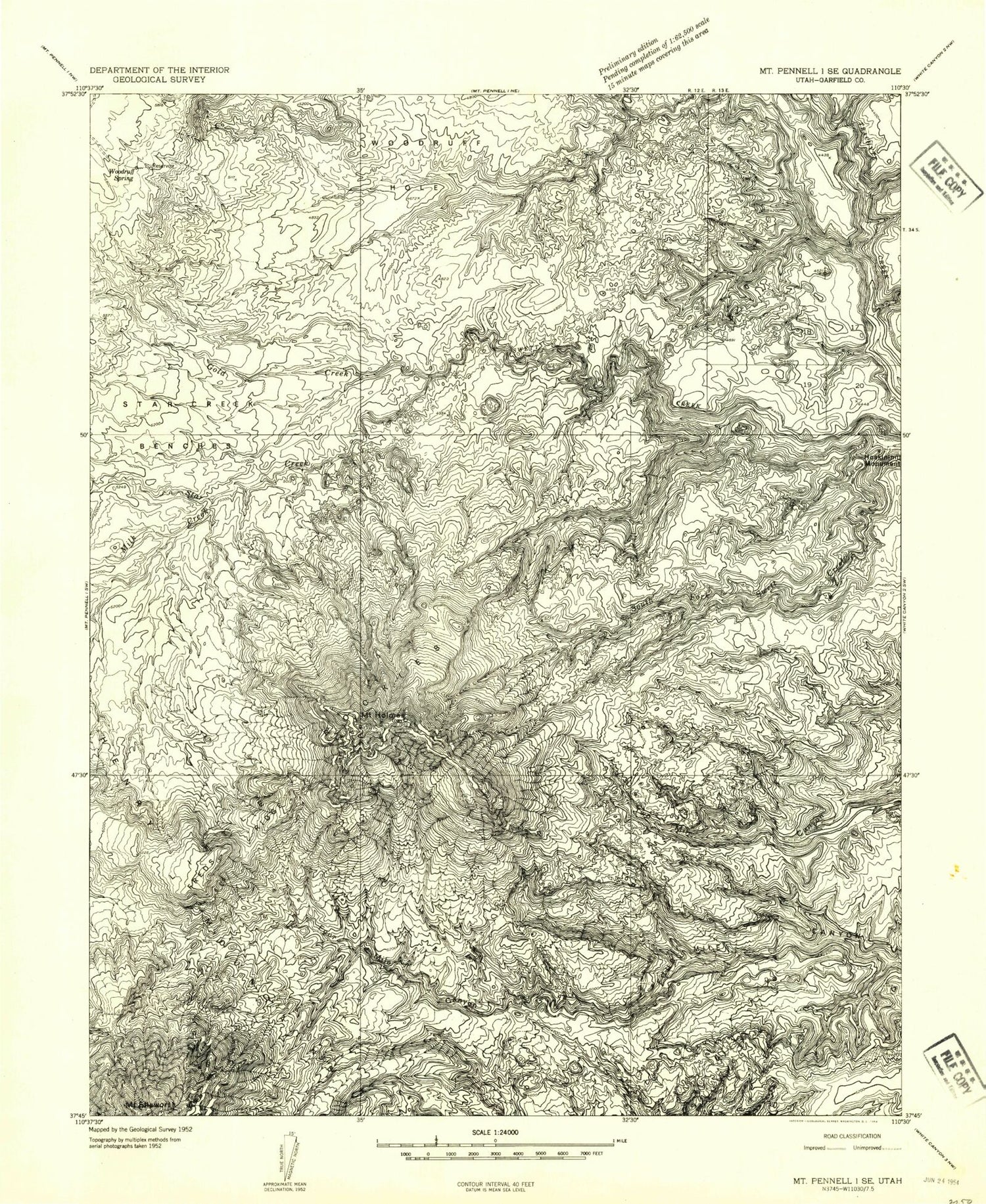
Historical USGS topographic quad map of Mount Holmes in the state of Utah. Typical map scale is 1:24,000, but may vary for certain years, if available. Print size: 24" x 27"
This quadrangle is in the following counties: Garfield.
The map contains contour lines, roads, rivers, towns, and lakes. Printed on high-quality waterproof paper with UV fade-resistant inks, and shipped rolled.
Contains the following named places: Freds Ridge, Gold Creek, Mount Holmes, Hoskinnini Monument, Little Rockies, Milk Creek, South Fork Swett Creek, Star Creek, Star Creek Benches, Woodruff Hole, Woodruff Spring, Woodruff Canyon, Little Rockies National Natural Landmark, Hole Spring, Milk Creek, Hole Spring