MyTopo
Classic USGS Mount Howard Washington 7.5'x7.5' Topo Map
Couldn't load pickup availability
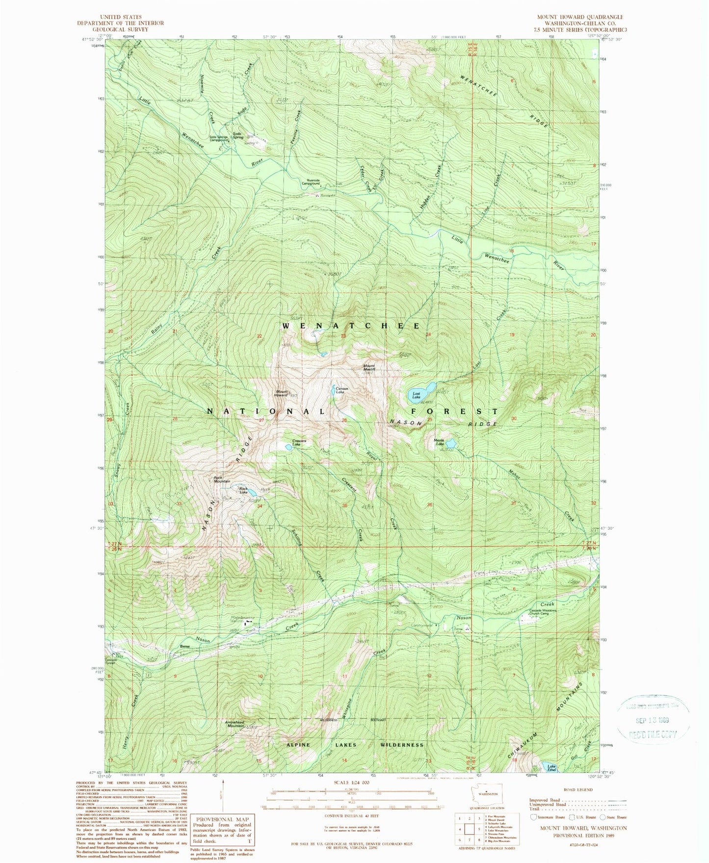
Historical USGS topographic quad map of Mount Howard in the state of Washington. Typical map scale is 1:24,000, but may vary for certain years, if available. Print size: 24" x 27"
This quadrangle is in the following counties: Chelan.
The map contains contour lines, roads, rivers, towns, and lakes. Printed on high-quality waterproof paper with UV fade-resistant inks, and shipped rolled.
Contains the following named places: Arrowhead Mountain, Berne, Cascade Meadows Church Camp, Cedar Creek, Crescent Creek, Crescent Lake, Lake Ethel, Henry Creek, Hidden Creek, Mount Howard, Line Creek, Lost Creek, Lost Lake, Mahar Creek, Mount Mastiff, Merritt Lake, Nason Ridge, Ninemile Creek, Peavine Creek, Rainy Creek, Riverside Campground, Rock Lake, Rock Mountain, Royal Creek, Schilling Creek, Snowy Creek, Soda Creek, Soda Spring, Soda Springs Campground, Fir Creek, Gaynor, Canan Lake, Whitepine Creek, Fir Creek Recreation Area