MyTopo
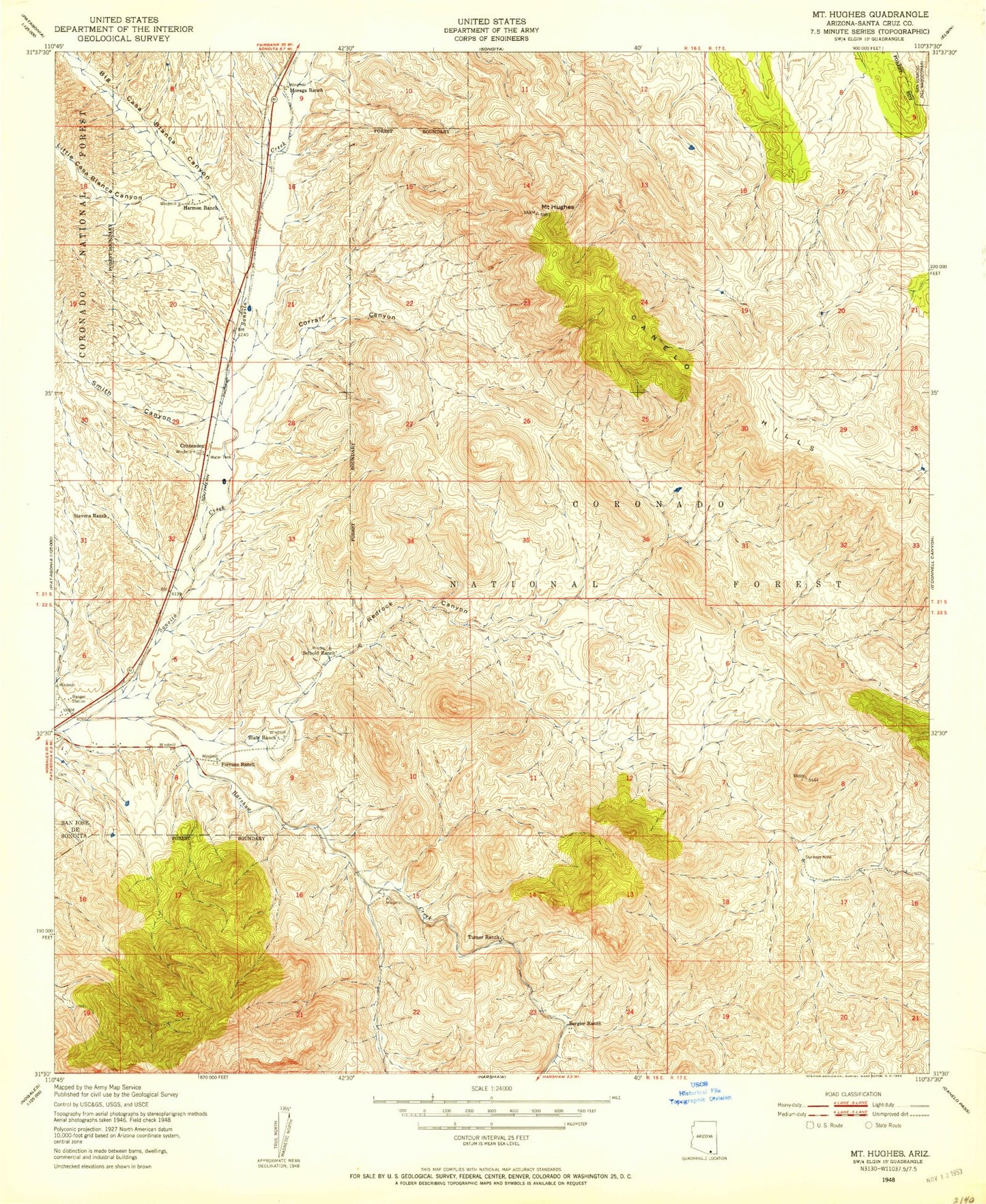
Classic USGS Mount Hughes Arizona 7.5'x7.5' Topo Map
Couldn't load pickup availability
Historical USGS topographic quad map of Mount Hughes in the state of Arizona. Map scale may vary for some years, but is generally around 1:24,000. Print size is approximately 24" x 27"
This quadrangle is in the following counties: Santa Cruz.
The map contains contour lines, roads, rivers, towns, and lakes. Printed on high-quality waterproof paper with UV fade-resistant inks, and shipped rolled.
Contains the following named places: Ashburn, Ashburn Mountain, Aztec Group Mines, Bat Cave Tank, Bergier Ranch, Bergier Trick Tank, Bible Spring, Big Casa Blanca Canyon, Box Canyon, Candelerio Peak, Casa Blanca, Christmas Gift Mine, Copper Mountain, Corral Canyon, Cottonwood Spring, Cottonwood Spring Number Two, Crittenden, Dark Canyon, Dry Canyon, East Tank, East Well, Elevation Group Mines, Fortune Ranch, Gate Horizontal Well, Gate Spring, Gunther Tank, Harshaw Creek, Hells Canyon Dam, Holding Pasture Trick Tank, Indian Head Mountain, Kennedy Spring, Kunde Mountain, Lampshire Canyon, Lazy RR Ranch, Lewis Ranch, Lion Dam, Little Casa Blanca Canyon, Meadow Spring, Mount Hughes, North Saddle Mountain, Papago Spring, Patagonia Division, Patagonia Elementary School, Patagonia Ranger Station, Patagonia Union High School, Red Bank Well, Red Mountain, Redrock Canyon, Redrock Ranch, Redrock Well, Saddle Mountain Tank, Saddle Spring, Sansimon Mine, Santa Cruz Mine, Seibold Ranch, Smith Canyon, South Well, Stevens Canyon, Stevens Ranch, Town of Patagonia, Turner Ranch, Turtle Spring, Weiland Harshaw Storage, Weiland Harshaw Well, Wood Canyon, ZIP Code: 85624


