MyTopo
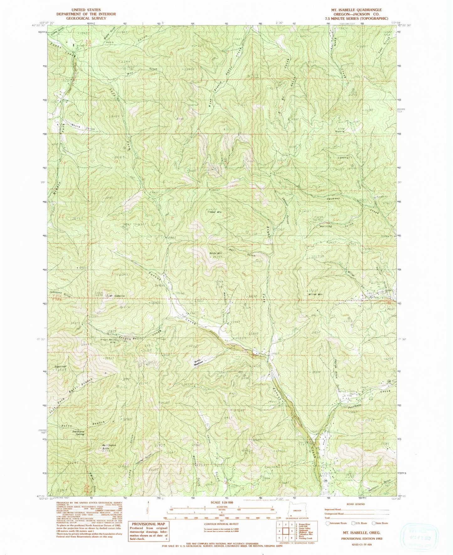
Classic USGS Mount Isabelle Oregon 7.5'x7.5' Topo Map
Couldn't load pickup availability
Historical USGS topographic quad map of Mount Isabelle in the state of Oregon. Map scale may vary for some years, but is generally around 1:24,000. Print size is approximately 24" x 27"
This quadrangle is in the following counties: Jackson.
The map contains contour lines, roads, rivers, towns, and lakes. Printed on high-quality waterproof paper with UV fade-resistant inks, and shipped rolled.
Contains the following named places: Baldy Mountain, Black, Brushy Gulch, Bunny Meadows, Cantrall Creek, Deadhorse Spring, Draper, Draper Post Office, East Branch Galls Creek, George Black Gulch, Herling Post Office, Horn Gulch, Jacksonville Dam, Jacksonville Reservoir, Left Fork Foots Creek, Lennox Gulch, Lilly Prairie, Log Town Cemetery, Lonesome Gulch, Lucky Boy Mine, Lyons Gulch, Marshall Gulch, Max Gulch, Middle Fork Foots Creek, Miller Mountain, Moore Gulch, Mount Isabelle, Norling Gulch, One Horse Town, Oregon Belle Creek, Oregon Belle Mine, Panther Gulch, Poormans Creek, Rail Gulch, Right Fork Forest Creek, Rock Gulch, Sailor Gulch, Sturgis Mine, Sugarloaf, Timber Mountain, Wellington Butte, West Branch Galls Creek, Winningham Reservoir


