MyTopo
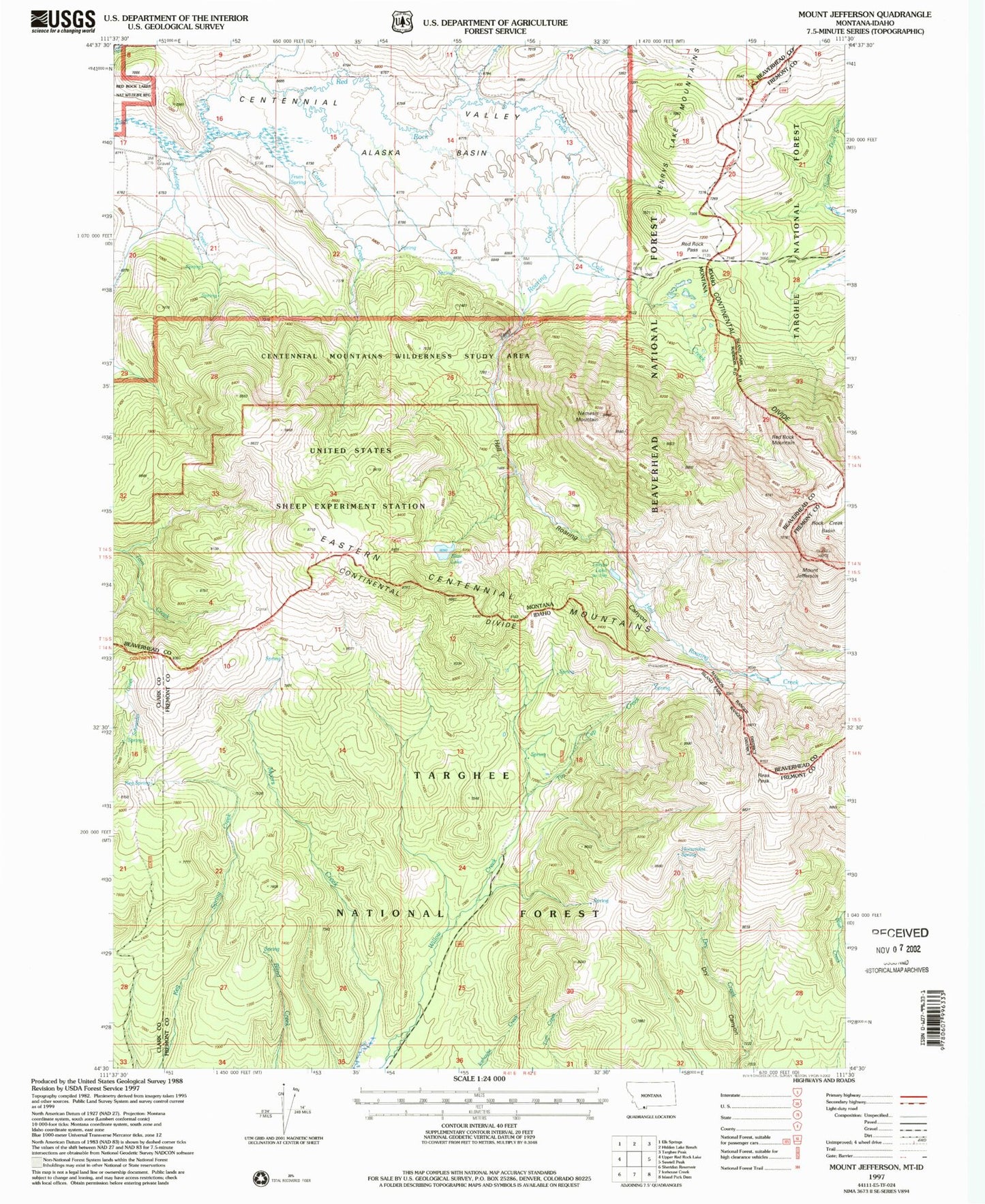
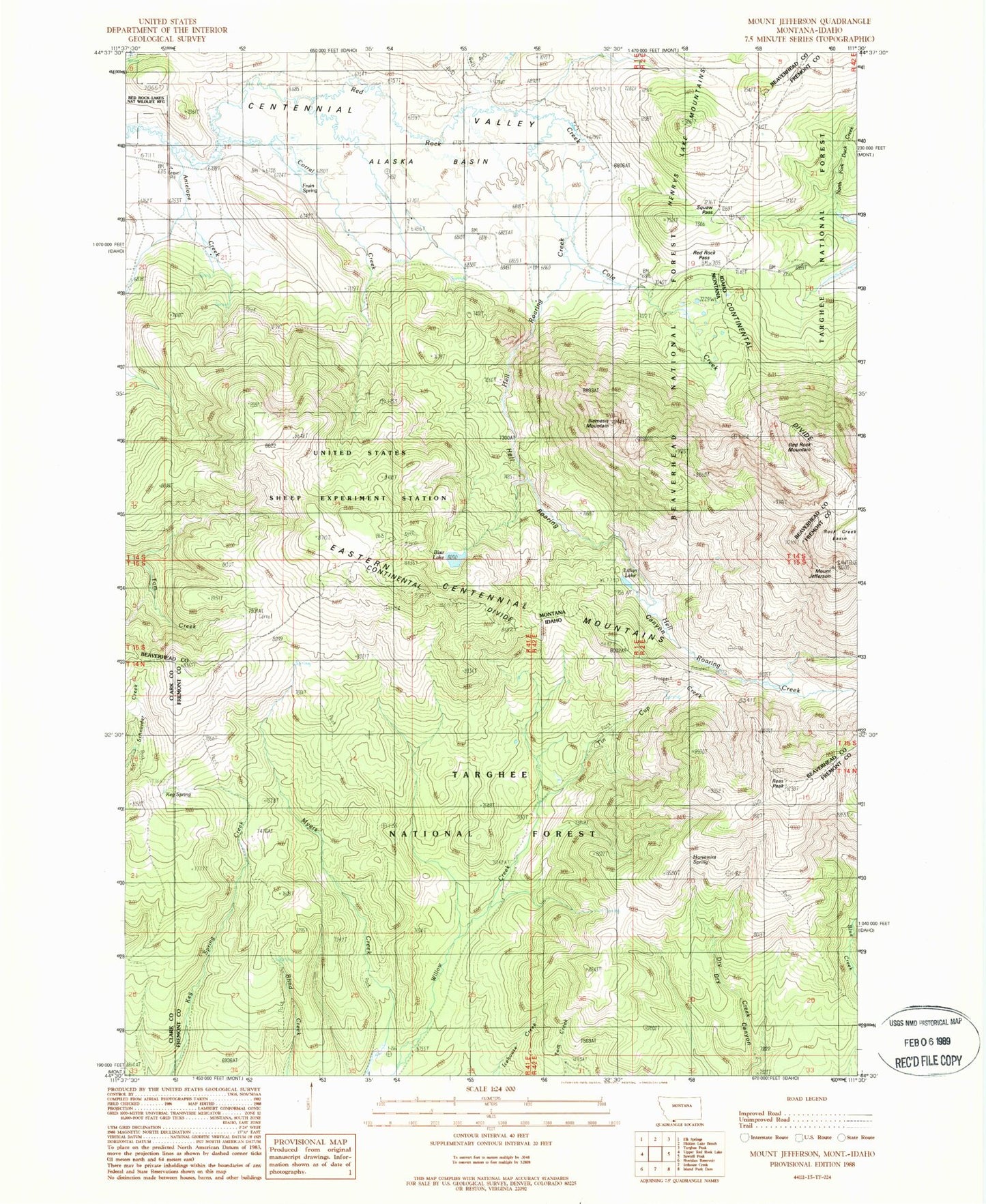
Classic USGS Mount Jefferson Montana 7.5'x7.5' Topo Map
Couldn't load pickup availability
Historical USGS topographic quad map of Mount Jefferson in the states of Montana, Idaho. Typical map scale is 1:24,000, but may vary for certain years, if available. Print size: 24" x 27"
This quadrangle is in the following counties: Beaverhead, Clark, Fremont.
The map contains contour lines, roads, rivers, towns, and lakes. Printed on high-quality waterproof paper with UV fade-resistant inks, and shipped rolled.
Contains the following named places: Red Rock Mountain, Mount Jefferson, Alaska Basin, Blair Lake, Cole Creek, Cook Sheep Ranch, Corral Creek, Edwards Ranch, Fruin Spring, Hell Roaring Canyon, Hell Roaring Creek, Holt Ranch, Lillian Lake, Nemesis Mountain, Antelope Creek, United States Sheep Experiment Station, 14S01E24CDAA01 Well, 14S01E22DBAA01 Well, 14S01E23BCC_01 Spring, 14S01E22ACBB01 Well, 14S01E13BDA_01 Spring, 14S01E08DACC01 Spring, Blind Creek Trail, Dry Creek Trail, Horsemint Spring, Keg Spring, Myers Creek Trail, Reas Peak, Red Rock Pass, Snoo-weh Pass, Tin Cup Creek, Tin Cup Trail, Willow Creek Trail, Eastern Centennial Mountains


