
MyTopo
USGS Classic Mount Kaweah California 7.5'x7.5' Topo Map
Regular price
$16.95
Regular price
Sale price
$16.95
Unit price
per
Couldn't load pickup availability
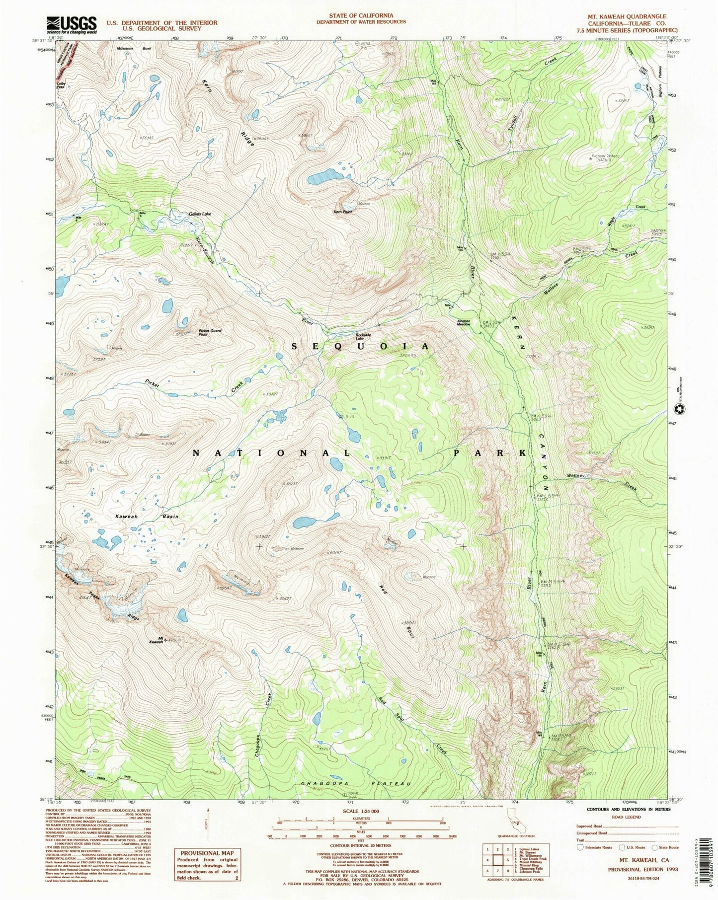
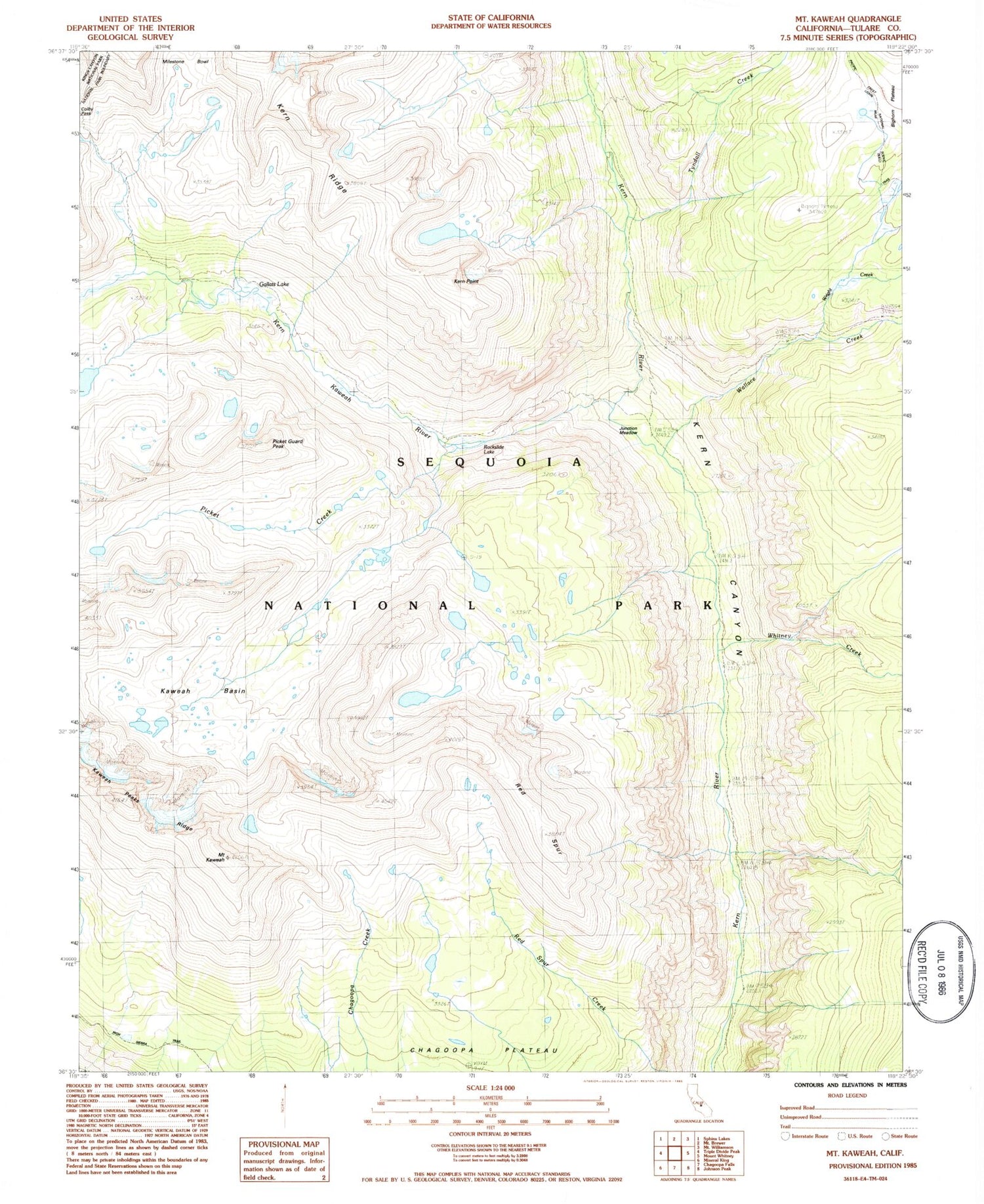
Historical USGS topographic quad map of Mount Kaweah in the state of California. Scale: 1:24000. Print size: 24" x 27"
This quadrangle is in the following counties: Tulare.
The map contains contour lines, roads, rivers, towns, lakes, and grids including latitude / longitude and UTM / MGRS. Printed on high-quality waterproof paper with UV fade-resistant inks.
Contains the following named places: Gallats Lake, Milestone Bowl, Red Spur, Picket Guard Peak, Bighorn Plateau, Junction Meadow, Kaweah Basin, Kaweah Peaks Ridge, Mount Kaweah, Kern Point, Rockslide Lake, Picket Creek, Kern-Kaweah River, Tyndall Creek, Wallace Creek, Whitney Creek, Wright Creek