MyTopo
Classic USGS Mount Kit Carson Washington 7.5'x7.5' Topo Map
Regular price
$16.95
Regular price
Sale price
$16.95
Unit price
per
Couldn't load pickup availability
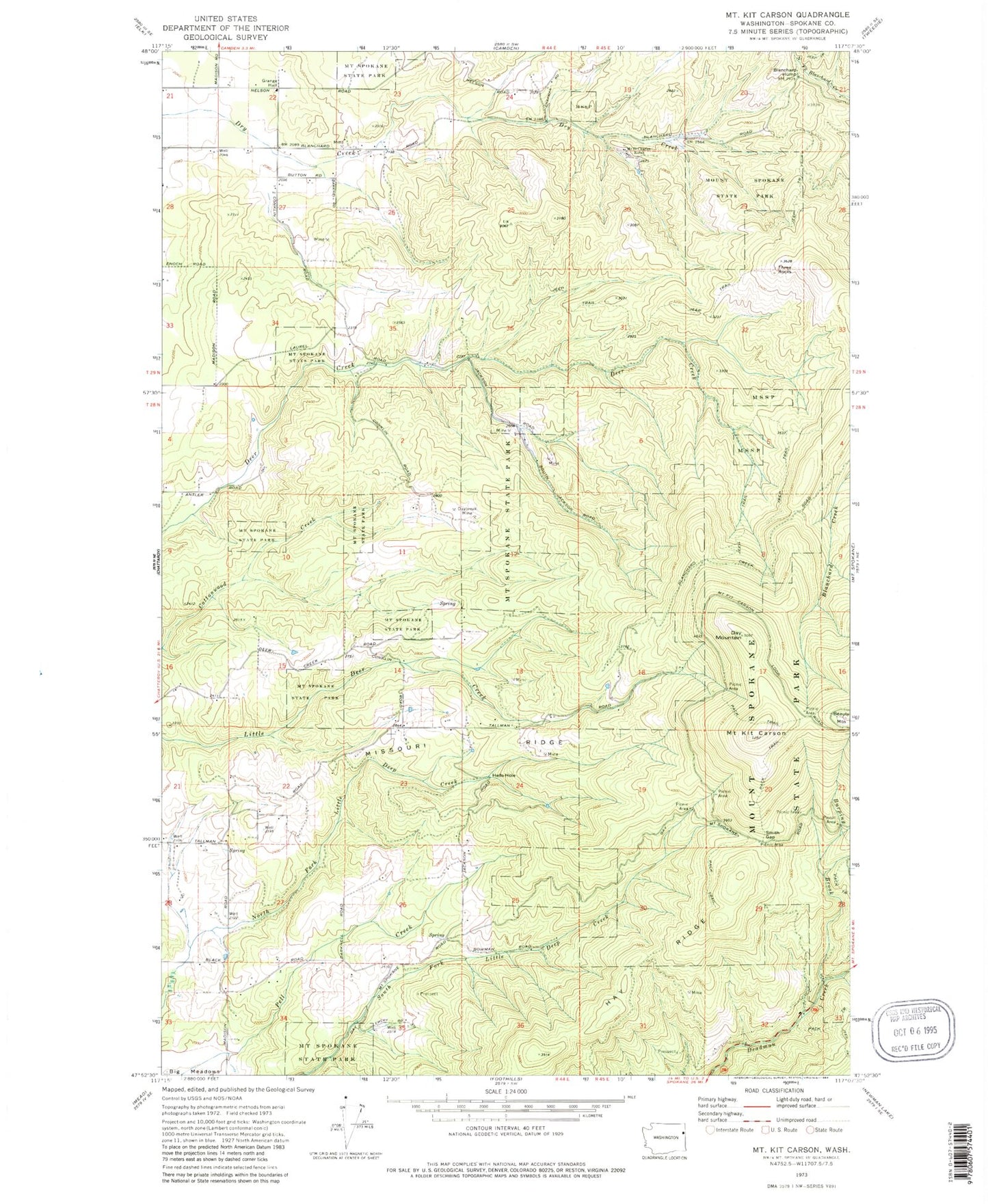
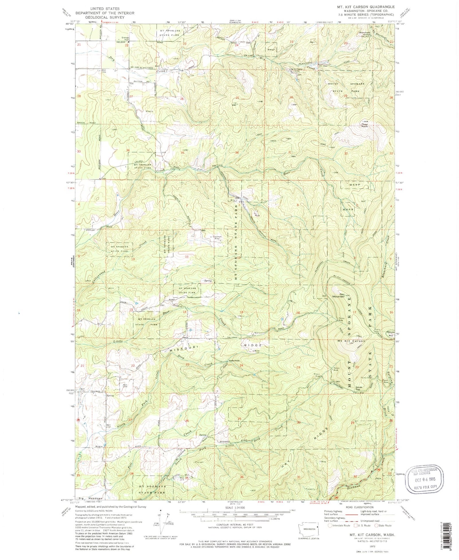
Historical USGS topographic quad map of Mount Kit Carson in the state of Washington. Map scale may vary for some years, but is generally around 1:24,000. Print size is approximately 24" x 27"
This quadrangle is in the following counties: Spokane.
The map contains contour lines, roads, rivers, towns, and lakes. Printed on high-quality waterproof paper with UV fade-resistant inks, and shipped rolled.
Contains the following named places: Beauty Mountain, Blanchard Hump, Burping Brook, Day Mountain, Hay Ridge, Hells Hole, Missouri Ridge, Mount Kit Carson, Mount Saint Charles Ranch, Mount Spokane West Airpark, Smith Gap, Three Rocks