MyTopo
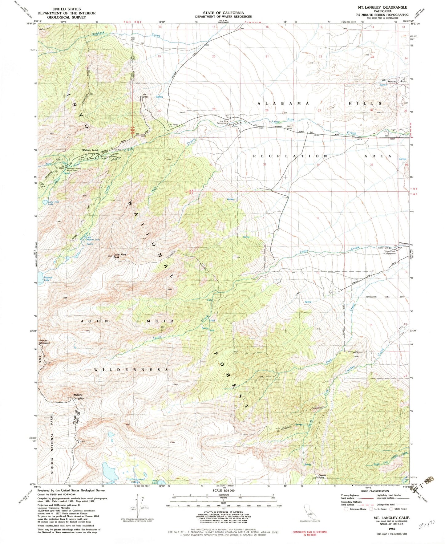
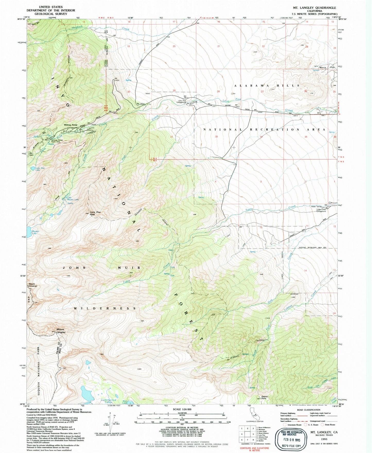
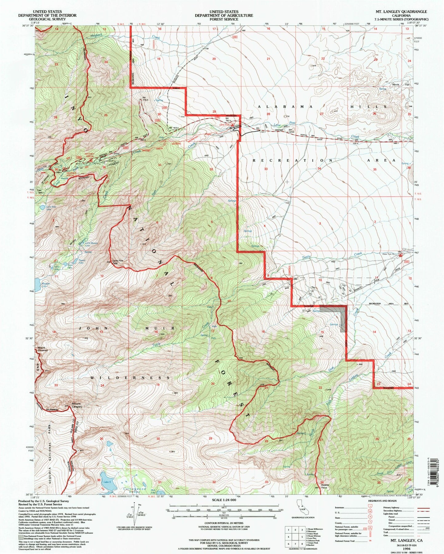
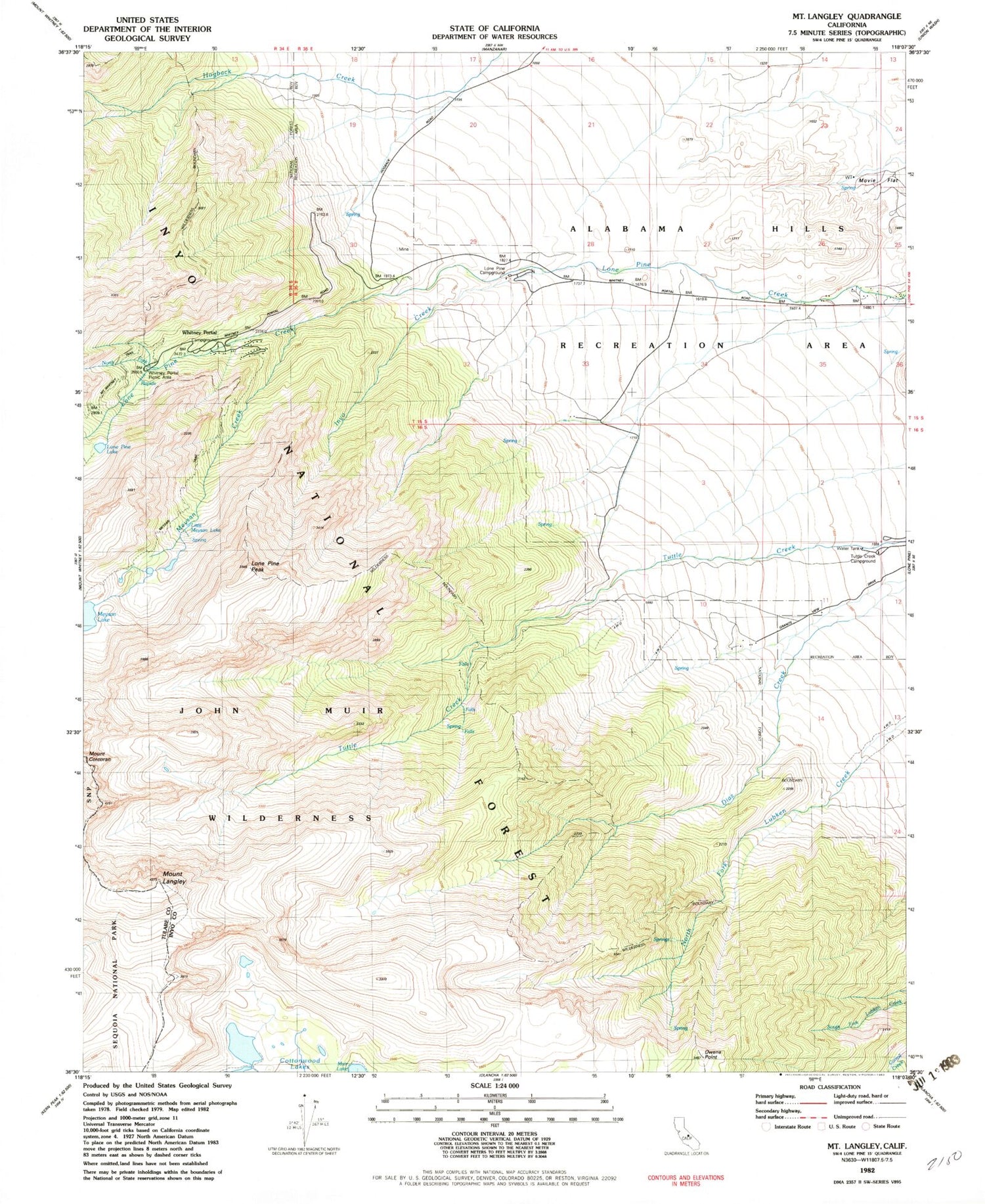
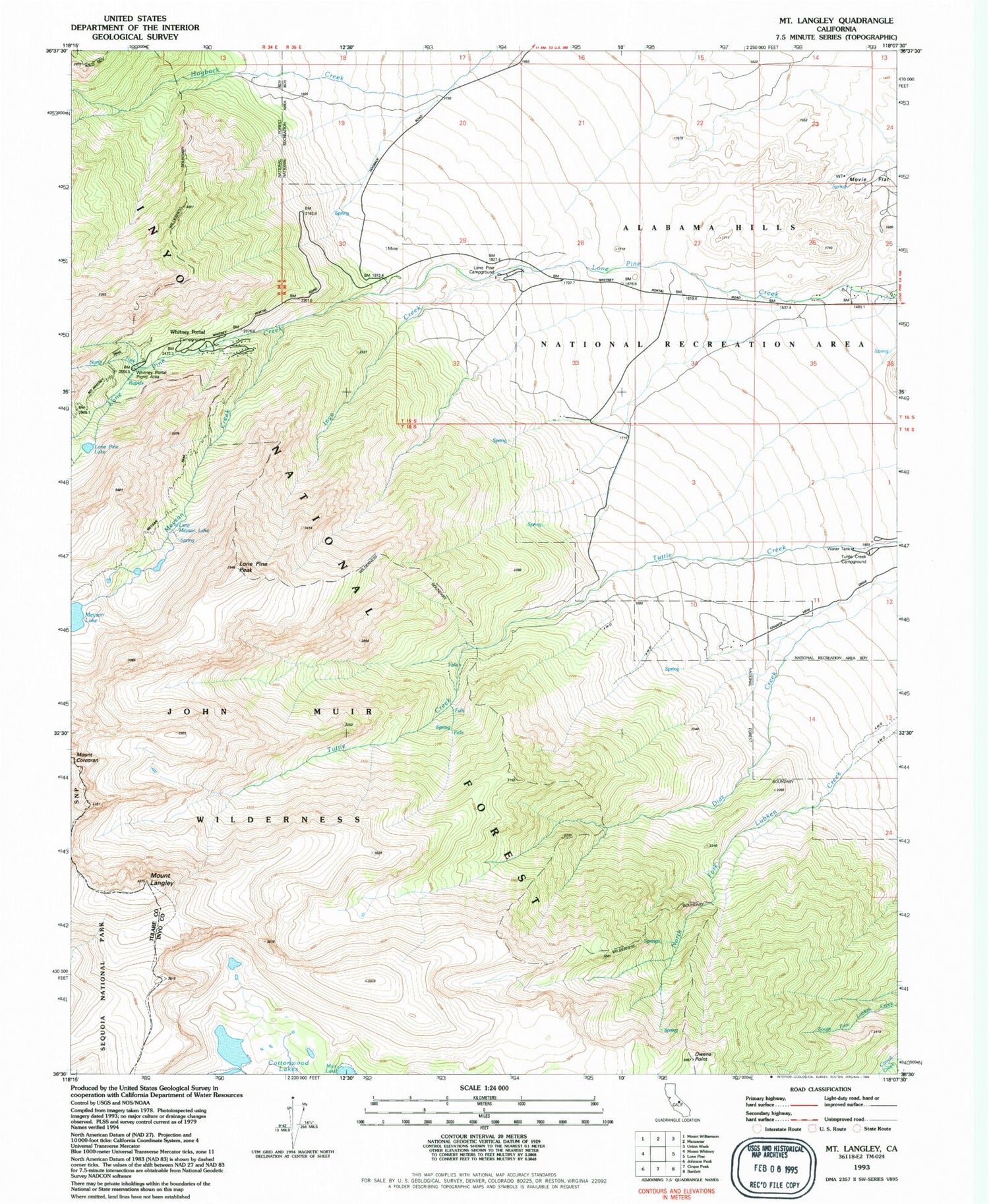
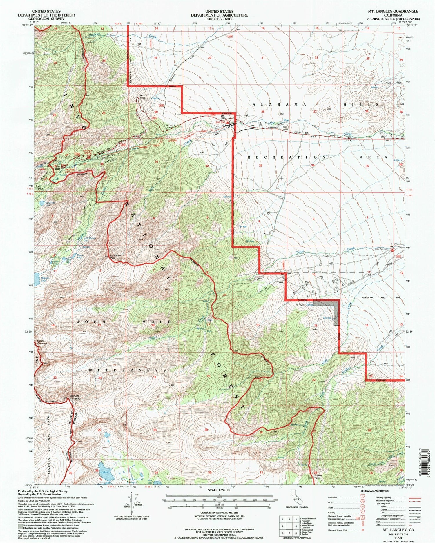
USGS Classic Mount Langley California 7.5'x7.5' Topo Map
Couldn't load pickup availability
Historical USGS topographic quad map of Mount Langley in the state of California. Scale: 1:24000. Print size: 24" x 27"
This quadrangle is in the following counties: Inyo, Tulare.
The map contains contour lines, roads, rivers, towns, lakes, and grids including latitude / longitude and UTM / MGRS. Printed on high-quality waterproof paper with UV fade-resistant inks.
Contains the following named places: Big Cottonwood Meadows, Whitney Portal, Inyo Creek, Little Meysan Lake, Lone Pine Lake, Lone Pine Peak, Meysan Trail, North Fork Lone Pine Creek, Whitney Portal Campground, Mount Langley, Owens Point, Whitney Portal, Alabama Hills Recreation Area, Lone Pine Campground, Meysan Creek, Tuttle Creek Campground, Whitney Portal Picnic Area, Camp Lake, Grass Lake, Peanut Lake, Cottonwood Lake Number Five, Cottonwood Lake Number Six, Tuttle Creek Trailhead, Whitney Portal Group Campground, Whitney Portal Store, Lone Pine Group Campground, Meysan Lake Trailhead
