

MyTopo
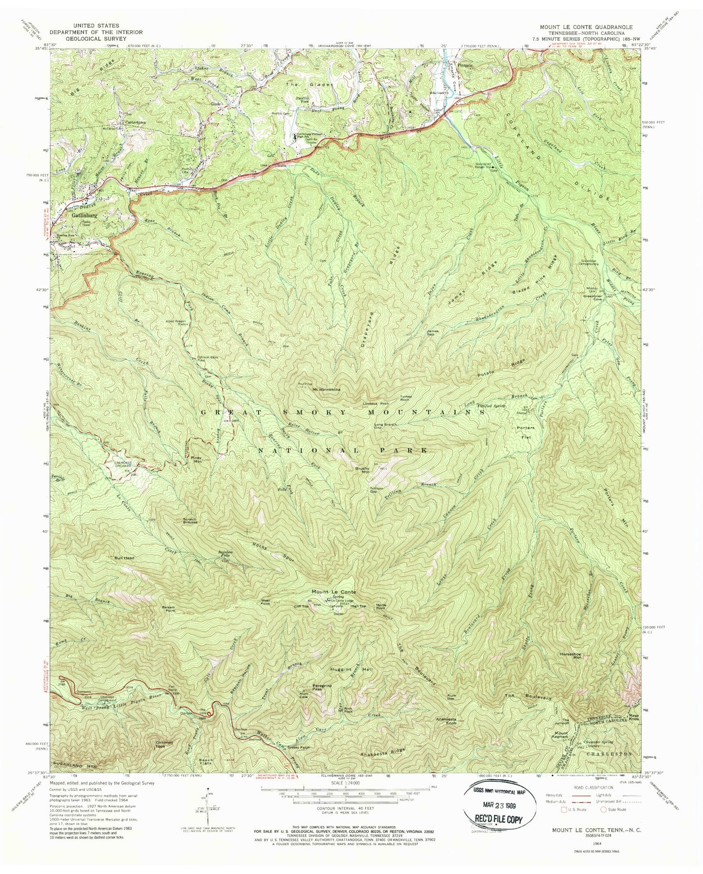
USGS Classic Mount Le Conte Tennessee 7.5'x7.5' Topo Map
Couldn't load pickup availability
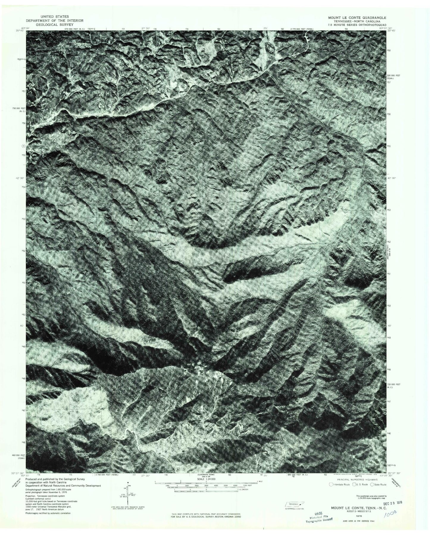
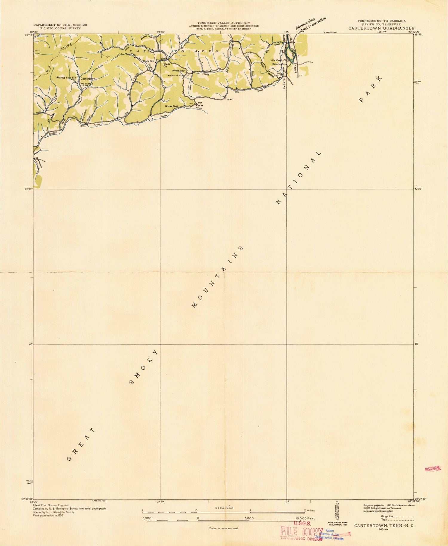
Historical USGS topographic quad map of Mount Le Contein the states of Tennessee, North Carolina. Scale: 1:24000. Print size: 24" x 27"
This quadrangle is in the following counties: Sevier, Swain.
The map contains contour lines, roads, rivers, towns, lakes, and grids including latitude / longitude and UTM / MGRS. Printed on high-quality waterproof paper with UV fade-resistant inks.
Contains the following named places: Masa Knob, Mount Kephart, Big Ridge, Styx Branch, Surry Fork, Teds Branch, The Boulevard, The Glades, The Jumpoff, The Loop, Trillium Branch, Trillium Gap, Trout Branch, Tudor Hollow, Turkey Rock, Twin Creek, Walker Camp Prong, Alum Cave Creek, Alum Gap, Anakeesta Knob, Anakeesta Ridge, Arch Rock, Bearpen Hollow, Beech Flats, Black Fox Branch, Blazed Pine Ridge, Boulevard Prong, Brushy Mountain, Buckhorn Creek, Cartertown, Cherokee Orchard, Chimney Tops, Chimneys Campground, Cliff Branch, Cole Creek, Copeland Divide, Duds Branch, Enloe Hollow Branch, Falls Branch, False Gap Prong, Fittified Spring, Flint Branch, Gatlinburg-Pittman High School, Glade, Grapeyard Branch, Grapeyard Ridge, Greenbrier Campground, Greenbrier Cove, Greenbrier Ranger Station, High Top, Hills Creek, Hogpen Branch, Horse Branch, Horseshoe Branch, Horseshoe Mountain, Houser Branch, Huggins Hell, Indian Camp Branch, Engine Creek, Jack Hollow, James Gap, James Ridge, Jerry Hollow, Johns Branch, Kear Branch, Left Fork Copeland Creek, Lester Prong, Little Bird Branch, Little Dudley Creek, Little Rhododendron Creek, Long Branch, Long Branch Gap, Lookout Rock, Lowes Creek, Mill Creek, Peregrine Peak, Piney Mountain, Pinnacle, Porters Flat, Potato Ridge, Proffitt Cemetery, PA Proffitt Glades - Lebanon Baptist Church Cemetery, Proffitt View, Rainbow Falls, Rhododendron Creek, Road Prong, Rocky Spur, Rocky Spur Branch, Scratch Britches, Shutts Prong, Tudor Cemetery, West Point, Friendship Baptist Church Cemetery, Mount Winnesoka, Woolly Tops Branch, Balsam Point, Bird Branch, Bull Head, Cannon Creek, Cliff Top, Grassy Patch, Hills Creek Church, Cartertown Cemetery, Middle Prong Little Pigeon River, Myrtle Point, Porters Creek, Roaring Fork Church, Grass Patch Branch, Greenbrier (historical), Little Copeland Creek, Alfred Reagan Place, Ephraim Bales Place, Fort Harry, Glades School (historical), Roaring Fork School (historical), Bales Cemetery, Price Cemetery, Whitted Cemetery, Mount Le Conte, Gatlinburg Division (historical), Gatlinburg Post Office, Grotto Falls, Injun Creek Campsite, Porters Flat Campsite, Rhododendron Creek Campsite, Le Conte Lodge, City of Gatlinburg, Commissioner District 11, Gatlinburg Fire Department Station 1 Headquarters, Gatlinburg Police Department, Baskins Creek Cemetery, Alonzo - Huskey Cemetery, Carr Branch Cemetery, Elijah Whaley Cemetery, F E Huskey Cemetery, Hat Rock Cemetery, John B Ownby Child Cemetery, Lindsey Town Cemetery, Mellinger Cemetery, Mullins Cemetery, Nations Child Cemetery, Ogle Cemetery, Ownby - Ephraim McCarter Cemetery, Ownby - Longbranch Cemetery, Parton Cemetery, Rayfield Cemetery, Rector Cemetery, Sizemore Cemetery, Spruce Flats Cemetery, Whaley - Plemmons Cemetery, Mount LeConte Shelter, Icewater Spring, Masa Knob, Mount Kephart, Icewater Spring Shelter