MyTopo
Classic USGS Mount Leona Washington 7.5'x7.5' Topo Map
Regular price
$16.95
Regular price
Sale price
$16.95
Unit price
per
Couldn't load pickup availability
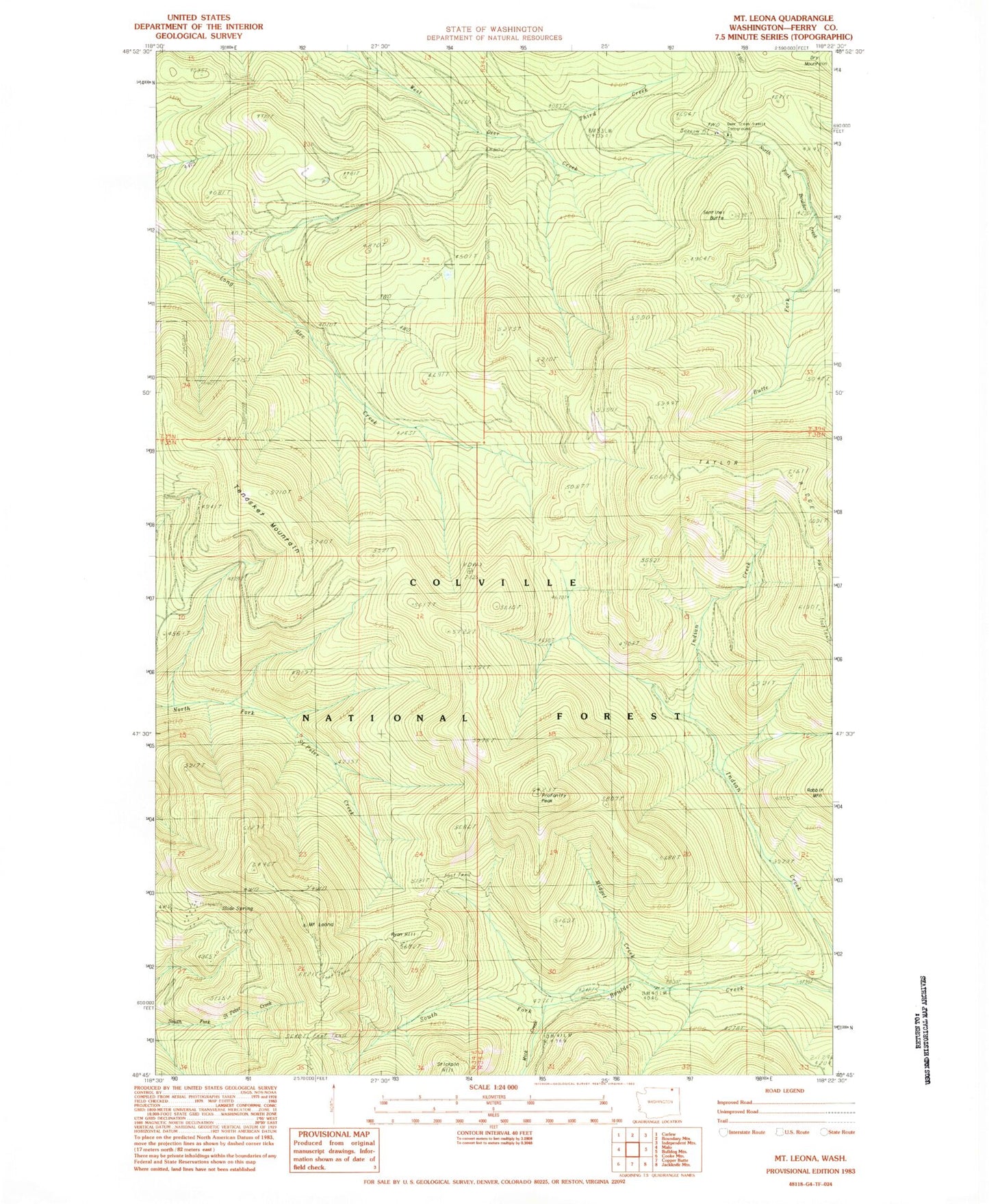
Historical USGS topographic quad map of Mount Leona in the state of Washington. Typical map scale is 1:24,000, but may vary for certain years, if available. Print size: 24" x 27"
This quadrangle is in the following counties: Ferry.
The map contains contour lines, roads, rivers, towns, and lakes. Printed on high-quality waterproof paper with UV fade-resistant inks, and shipped rolled.
Contains the following named places: Mount Leona, Mick Creek, Midget Creek, Profanity Peak, Rabbit Mountain, Ryan Cabin, Ryan Hill, Sentinel Butte, Summit Guard Station, Taylor Ridge, Tonasket Mountain, Third Creek, Deer Creek Summit Campground, Slide Spring, Kettle River Range, Boulder Creek Pass