MyTopo
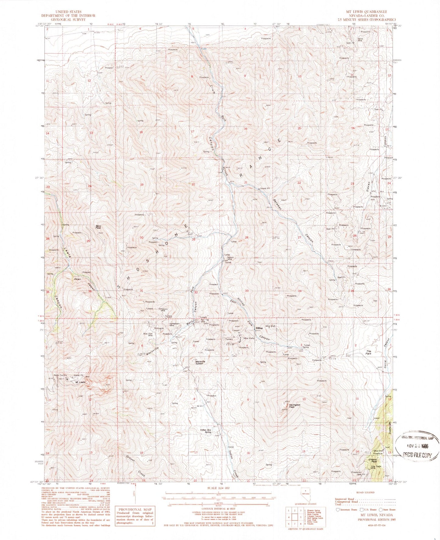
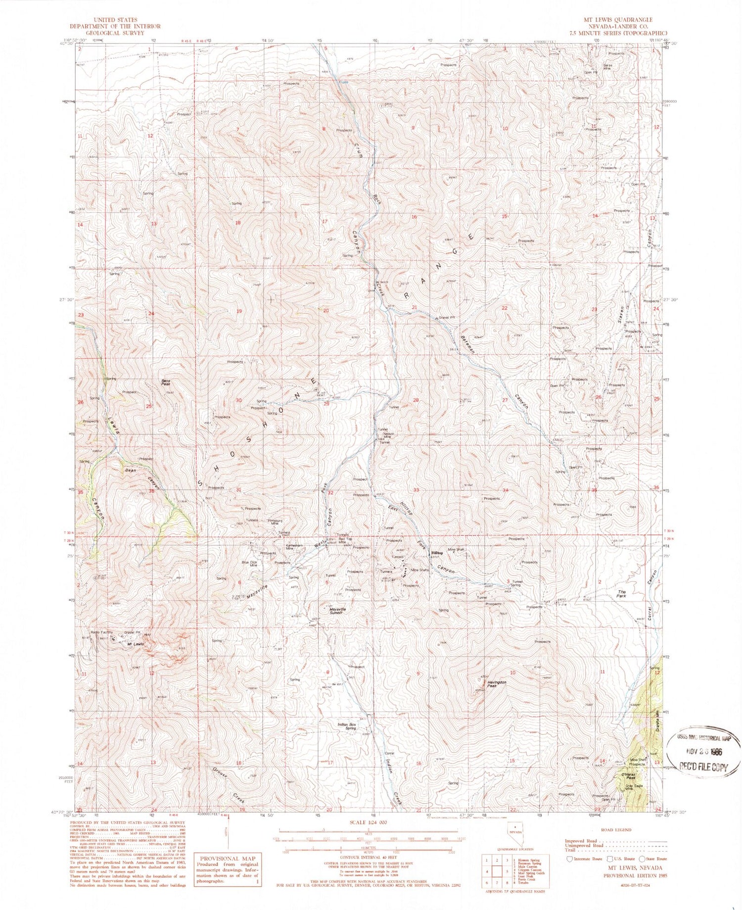
Classic USGS Mount Lewis Nevada 7.5'x7.5' Topo Map
Couldn't load pickup availability
Historical USGS topographic quad map of Mount Lewis in the state of Nevada. Map scale may vary for some years, but is generally around 1:24,000. Print size is approximately 24" x 27"
This quadrangle is in the following counties: Lander.
The map contains contour lines, roads, rivers, towns, and lakes. Printed on high-quality waterproof paper with UV fade-resistant inks, and shipped rolled.
Contains the following named places: Aztec Group Mine, Barse Mine, Bateman Canyon, Bateman Canyon Mine, Battle Mountain Mine, Bens Peak, Bens Spring, Blue Dick Mine, Buck Spring, Celestine O'Neal Mine, Cherry Spring, Crum Canyon, Dean, Dean Canyon, Dean Mine, Dean Post Office, Defiance Mine, Dixie Pass, Dusang and Logan Mine, Eagle Mines, Eagle Monitor Mine, East Fork Rock Creek, First Riffles Mine, Gold Dyke Mine, Gold Rod Mine, Granite Mountain, Gray Eagle Mine, Havingdon Peak, Highland Chief Mine, Hilltop, Hilltop Canyon, Hilltop Mine, Hilltop Mining District, Hilltop Post Office, Indian Box Spring, Jenkins Mine, Kattenhorn Mine, Kimberly Consolidated Mine, Maysville, Maysville Canyon, Maysville Summit, Middletown, Miners Dream Mine, Miners Dream Placer Mine, Morning Glory Mine, Mount Lewis, Neff Mine, Nelson Mine, O K Mine, O'Haras Peak, O'Neal Mine, Paymaster and Christopher Mine, Pittsburg Mine, Pittsburg Post Office, Pittsburgh, Red Top Mine, Riffles Placer Mine, Southern Pacific Lease Mine, Starr, Starr Grove Mine, Starr Post Office, The Park, Tunnel Spring, West Fork Rock Creek


