MyTopo
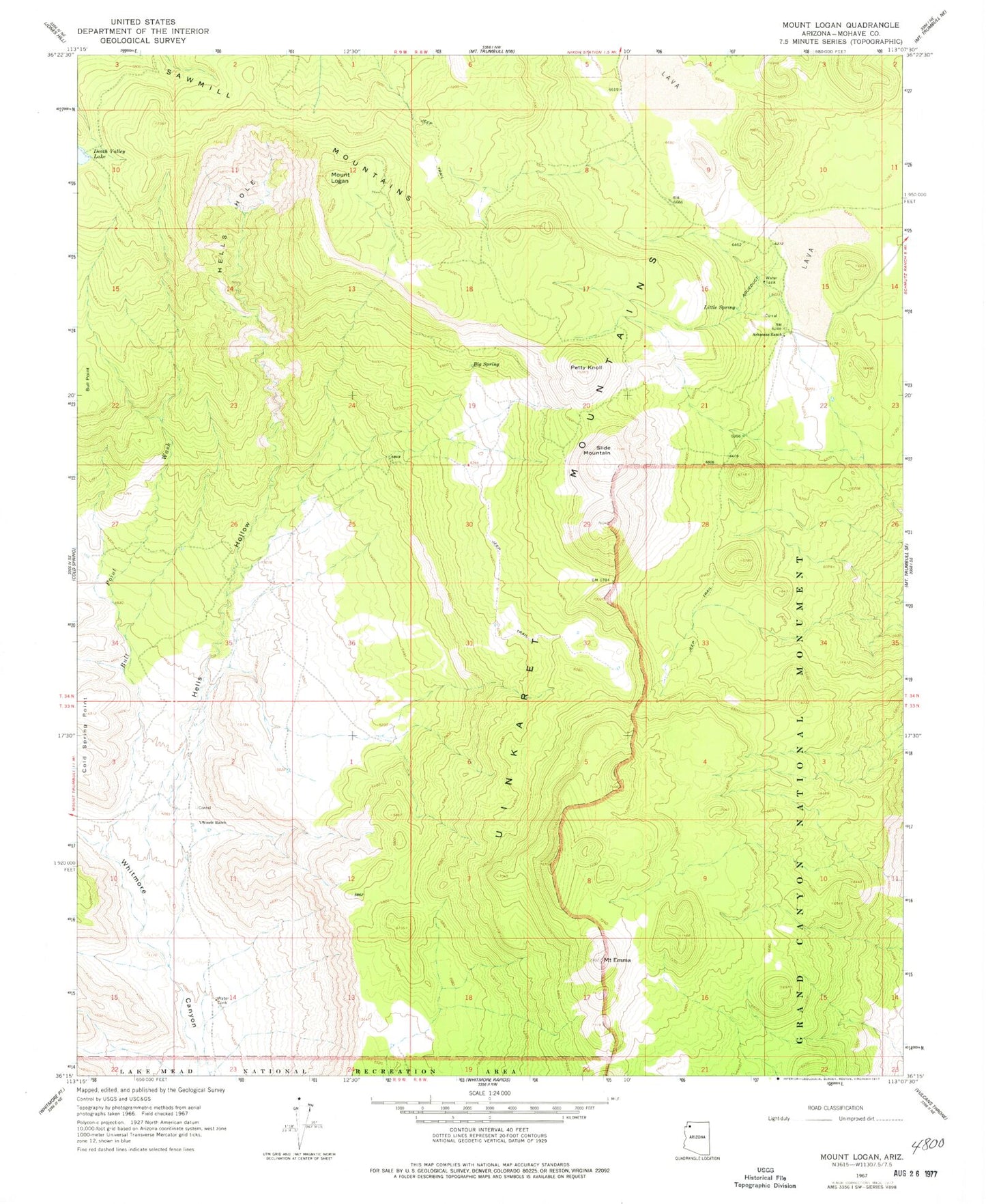
Classic USGS Mount Logan Arizona 7.5'x7.5' Topo Map
Couldn't load pickup availability
Historical USGS topographic quad map of Mount Logan in the state of Arizona. Map scale may vary for some years, but is generally around 1:24,000. Print size is approximately 24" x 27"
This quadrangle is in the following counties: Mohave.
The map contains contour lines, roads, rivers, towns, and lakes. Printed on high-quality waterproof paper with UV fade-resistant inks, and shipped rolled.
Contains the following named places: Arkansas Ranch, Big Spring, Bull Point, Bull Point Wash, Grand Canyon Bar Ten Airstrip, Hells Hole, Hells Hollow, Little Spring, Mount Emma, Mount Logan, Mount Logan Wilderness, Petty Knoll, Sawmill Mountains, Slide Mountain, Uinkaret Mountains, Webbs Ranch Landing Strip, Whitmore Spring, Woods Ranch, Woods Tank