MyTopo
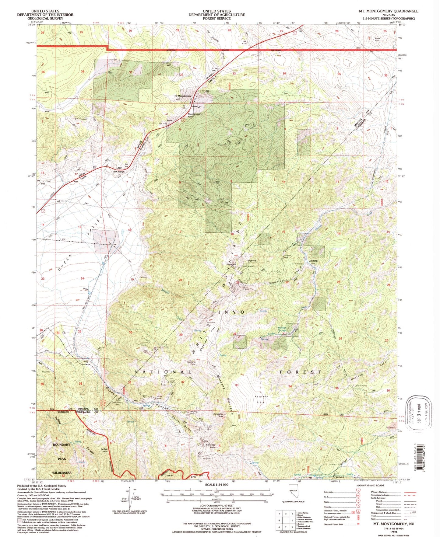
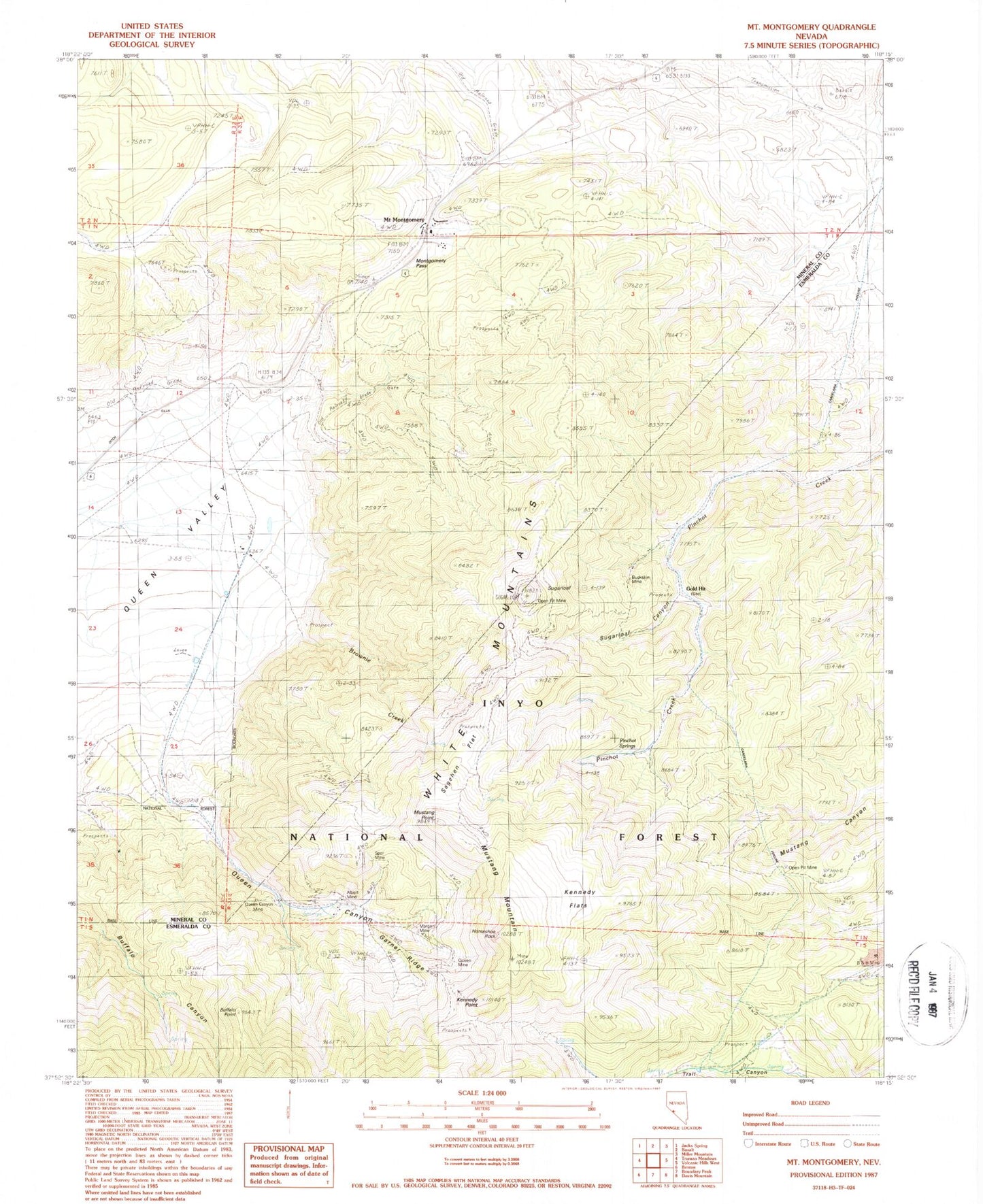
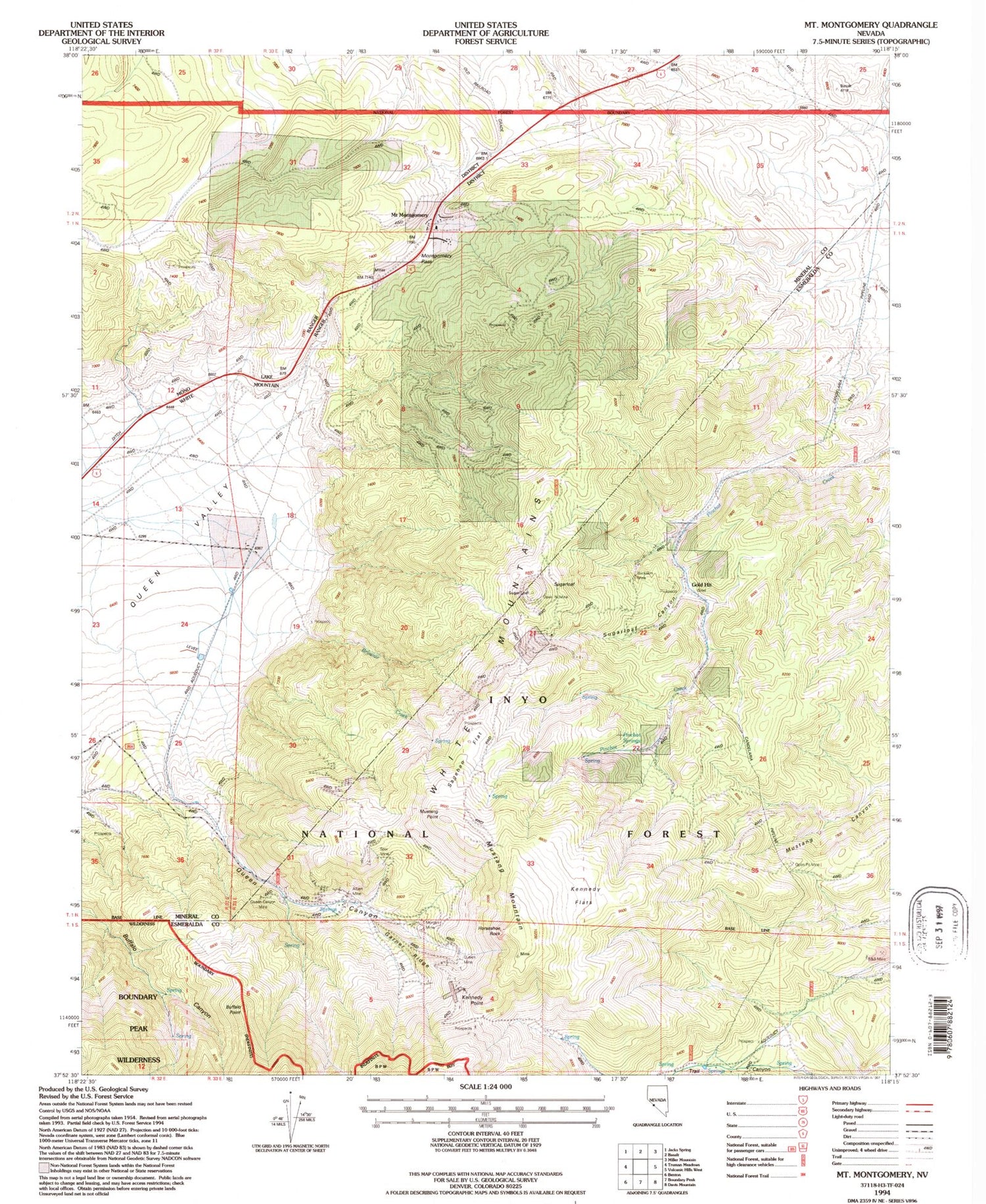
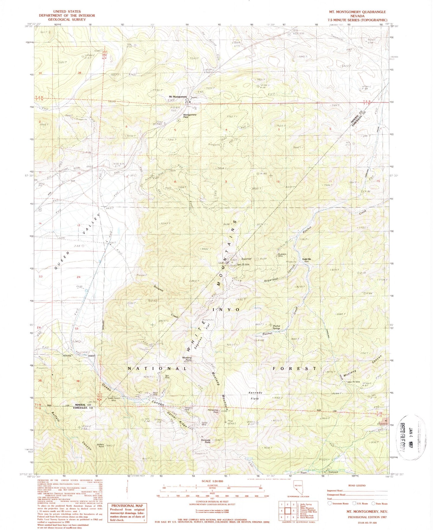
Classic USGS Mount Montgomery Nevada 7.5'x7.5' Topo Map
Couldn't load pickup availability
Historical USGS topographic quad map of Mount Montgomery in the state of Nevada. Typical map scale is 1:24,000, but may vary for certain years, if available. Print size: 24" x 27"
This quadrangle is in the following counties: Esmeralda, Mineral.
The map contains contour lines, roads, rivers, towns, and lakes. Printed on high-quality waterproof paper with UV fade-resistant inks, and shipped rolled.
Contains the following named places: Indian Queen Quartz Mill (historical), Foreys Toll House (historical), Nichols (historical), Silex (historical), Hereford Valley Ranch, Oneota (historical), Lucky Mine, Red Rose Mine, Montgomery Summit Mine, Indian Queen Mine, Red Rose Mercury Mine, Buena Vista Mining District, Bley (historical), Albert Mine, B and B Mine, Brownie Creek, Buckskin Mine, Buffalo Point, Candelaria Pipeline, Garner Ridge, Gold Hit, Hereford Valley Ranch, Horseshoe Rock, Kennedy Flats, Montgomery Pass, Morgan Mine, Mount Montgomery, Mustang Mountain, Mustang Point, Pinchot Springs, Queen Canyon, Queen Canyon Mine, Queen Mine, Sagehen Flat, Spor Mine, Sugarloaf, Sugarloaf Canyon, Tiptop Mine, Wild Rose Mine, Kennedy Point, Oneota Post Office (historical), Bley Post Office (historical), Mount Montgomery Post Office (historical)


