MyTopo
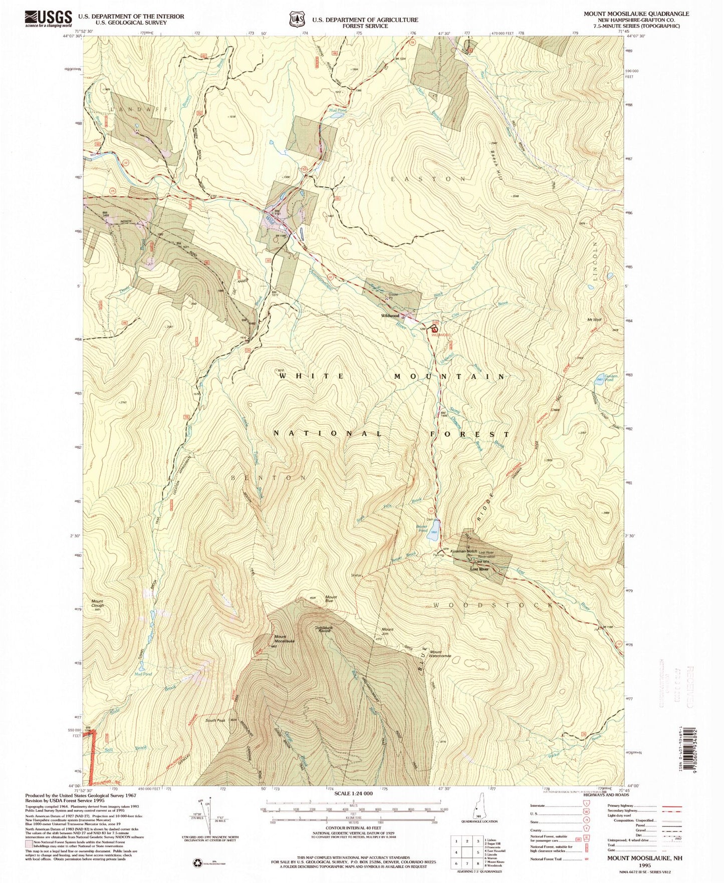
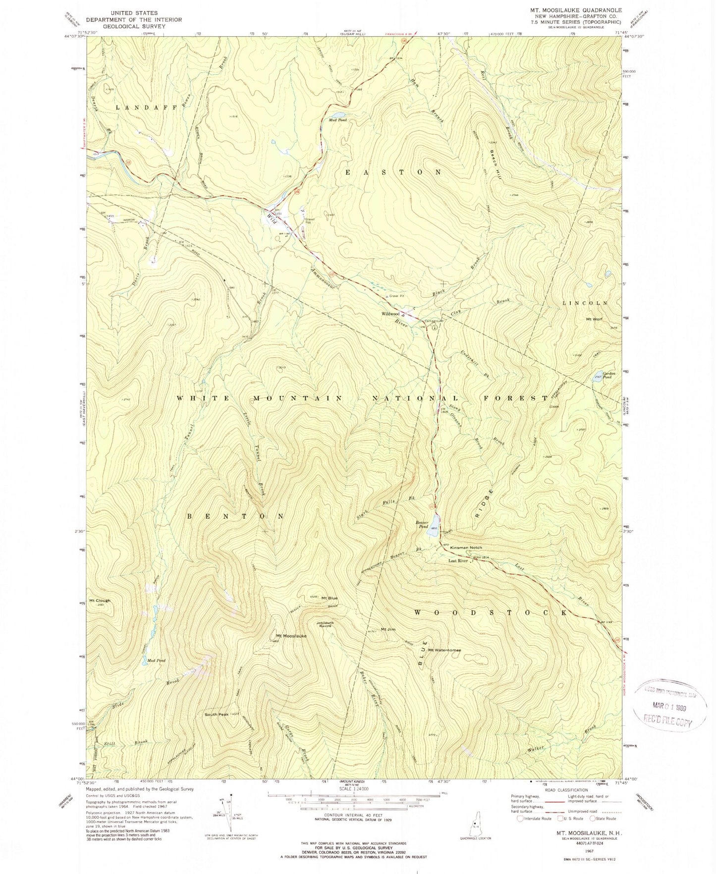
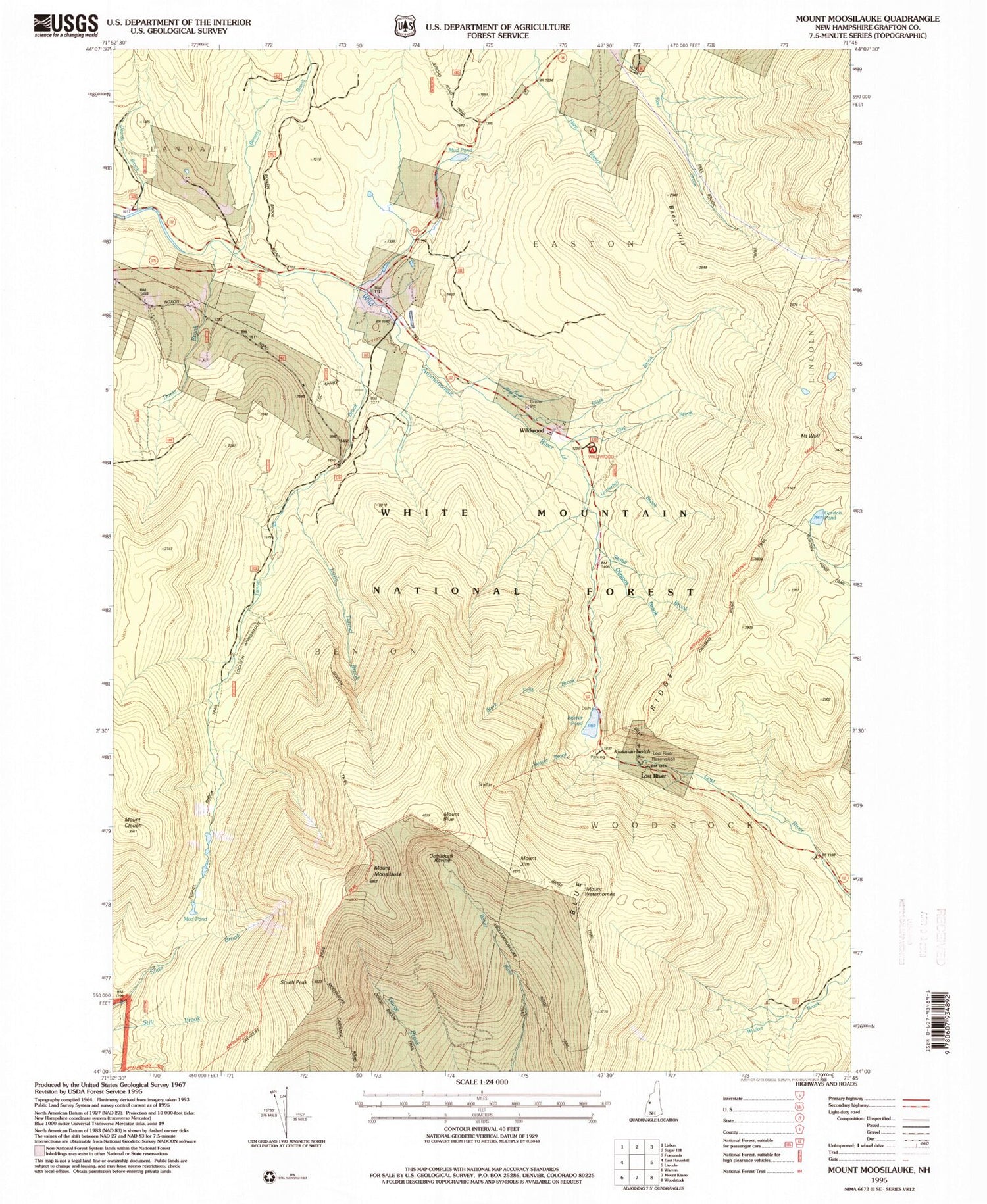
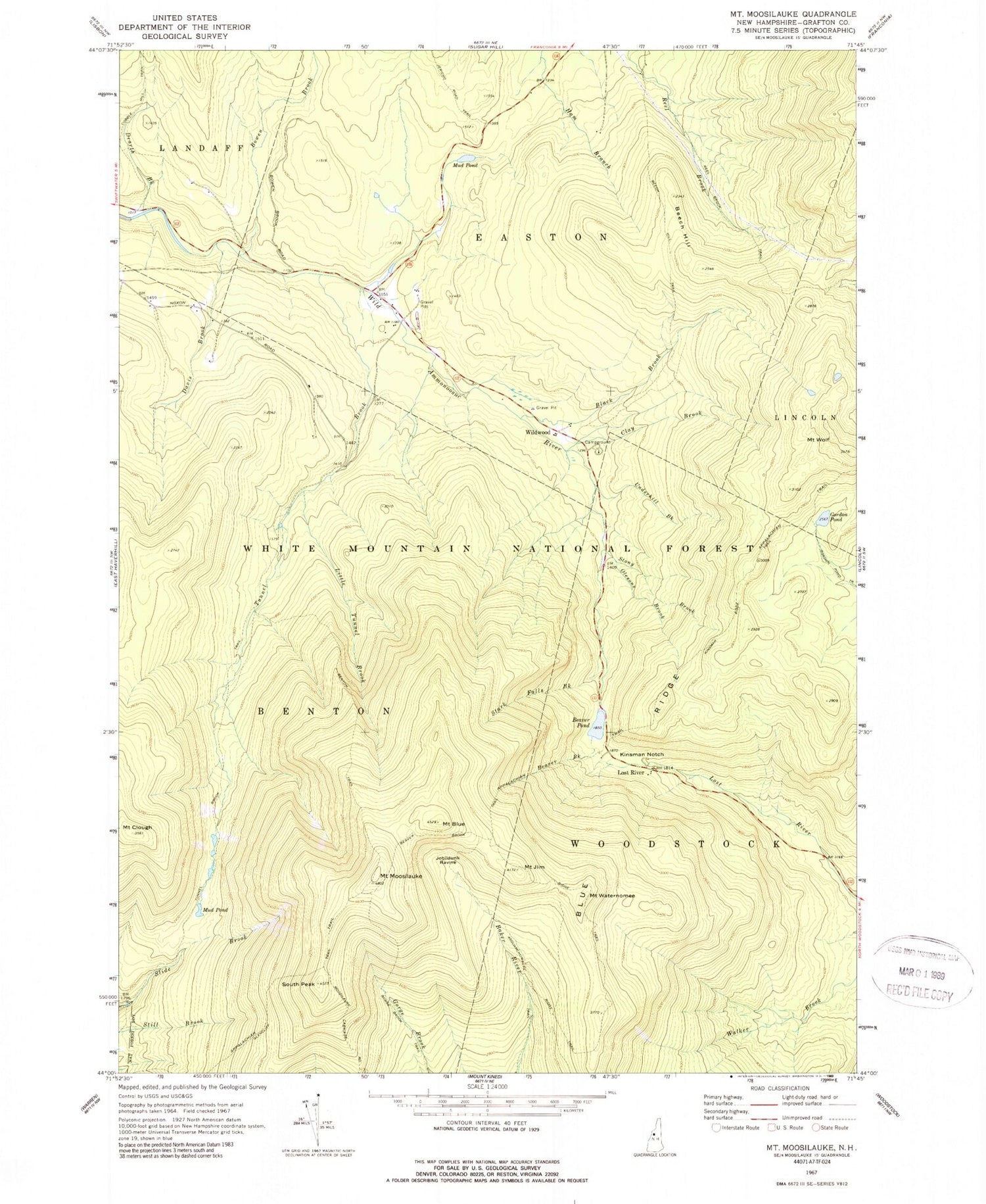
Classic USGS Mount Moosilauke New Hampshire 7.5'x7.5' Topo Map
Couldn't load pickup availability
Historical USGS topographic quad map of Mount Moosilauke in the state of New Hampshire. Typical map scale is 1:24,000, but may vary for certain years, if available. Print size: 24" x 27"
This quadrangle is in the following counties: Grafton.
The map contains contour lines, roads, rivers, towns, and lakes. Printed on high-quality waterproof paper with UV fade-resistant inks, and shipped rolled.
Contains the following named places: Asquamchumauke Ridge Trail, Beaver Brook, Beaver Brook Trail, Beaver Pond, Beech Hill, Beech Hill Trail, Benton Trail, Black Brook, Blue Ridge, Mount Blue, Bowen Brook, Clay Brook, Mount Clough, Davis Brook, Dearth Brook, Glencliff Trail, Gordon Pond, Gorge Brook Trail, Mount Jim, Jobildunk Ravine, Kinsman Notch, Little Tunnel Brook, Lost River, Moosilauke Carriage Road, Mount Moosilauke, Mud Pond, Mud Pond, Olesons Brook, Reel Brook Trail, Ridge Trail, South Peak, Stark Falls Brook, Stony Brook, Tunnel Brook, Tunnel Brook Trail, Underhill Brook, Mount Waternomee, Wildwood, Mount Wolf, Borrow Pit, Wildwood Campground and Picnic Area, Beaver Brook Shelter DOC, Beaver Pond Dam, Bungay Corner, Kinsman Notch Nature Area, Wildwood Civilian Conservation Corps Campground (historical), Wildwood Forest Camp


