MyTopo
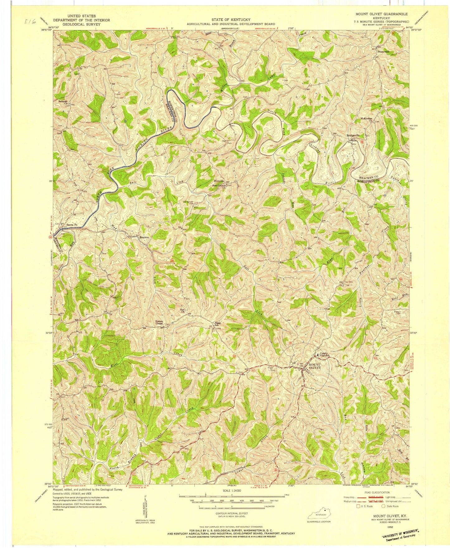
Classic USGS Mount Olivet Kentucky 7.5'x7.5' Topo Map
Couldn't load pickup availability
Historical USGS topographic quad map of Mount Olivet in the state of Kentucky. Map scale may vary for some years, but is generally around 1:24,000. Print size is approximately 24" x 27"
This quadrangle is in the following counties: Bracken, Robertson.
The map contains contour lines, roads, rivers, towns, and lakes. Printed on high-quality waterproof paper with UV fade-resistant inks, and shipped rolled.
Contains the following named places: Belcourt Post Office, Belmont, Belmont Church, Belmont School, Bratton, Bratton Post Office, Bridgeville, Bridgeville Post Office, Bridgeville School, Brierly Ridge, Brushy Fork, Camp Creek, City of Mount Olivet, Day Cemetery, Drift Run, Drift Run Bridge, Elms Run, Flat Run, Fosters Chapel, Fosters Chapel Cemetery, Henson Cemetery, Hitts Post Office, Hitts School, Hittville, Islands Run, Linville, Little Panther Creek, McKindree Church, Mount Hope Post Office, Mount Olivet, Mount Olivet Division, Mount Olivet Village Post Office, Mud Lick, New Corinth Church, New Corinth Church Cemetery, Oakland, Oakland Church, Old Corinth Cemetery, Old Corinth Church, Panther Creek, Riggs School, Robertson County, Robertson County Sheriff's Office, Robertson Volunteer Fire Department, Salt Lick, Santa Fe, Santafe Post Office, Sante Fe Post Office, Stone Creek, Stonewall, Willow Branch, Zion Church, ZIP Code: 41064


