MyTopo
Classic USGS Mount Orab Ohio 7.5'x7.5' Topo Map
Couldn't load pickup availability
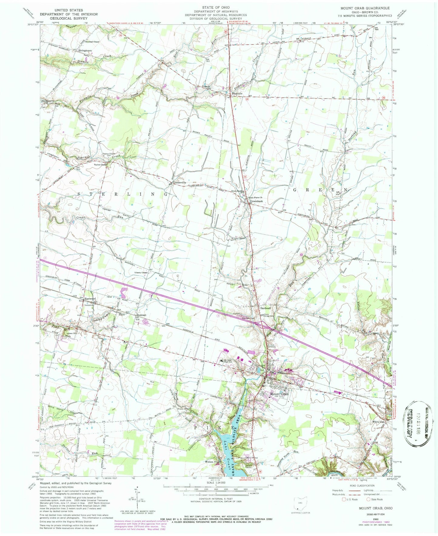
Historical USGS topographic quad map of Mount Orab in the state of Ohio. Map scale may vary for some years, but is generally around 1:24,000. Print size is approximately 24" x 27"
This quadrangle is in the following counties: Brown.
The map contains contour lines, roads, rivers, towns, and lakes. Printed on high-quality waterproof paper with UV fade-resistant inks, and shipped rolled.
Contains the following named places: Andersonville, Bardwell, Bardwell Post Office, Bible Baptist Church, Bingamon Cemetery, Bloom Rose, Bloom Rose Cemetery, Bloom Rose Post Office, Bloomrose Church, Bloomrose School, Bodman, Brooks Cemetery, Brown County Mobile Home Park, Burdsall Chapel, Centerville, Columbia School, Crane Run School, Dunn School, East Fork Fivemile Creek, East Fork White Oak Creek, Eastwood, Eastwood Post Office, First Baptist Church, Five Mile Cemetery, Fivemile, Fivemile Church, Fivemile Post Office, Forest Grove School, Grant Lake, Grant Lake Wildlife Area, Greenbush, Greenbush Cemetery, Green-Sterling School, Gum Corner School, Indian Camp Run, J D Smith Mobile Home Park, Liberty Chapel, Liberty School, Maple Grove School, Maple School, Moler Mobile Home Park, Mount Orab, Mount Orab Cemetery, Mount Orab Church of Christ, Mount Orab Elementary School, Mount Orab Fire Department, Mount Orab High School, Mount Orab Police Department, Mount Orab Post Office, Mount Orab Reservoir, Mount Orab Upground Reservoir Dam, Neals Airport, North Fork White Oak Creek, Oakdale School, Patton School, Pleasant Hill School, Plum Creek, Ross School, Saint Michael Catholic Church, Salem Church, School Number 3, Star Lake Cemetery, Stringtown, Taylors Chapel, Taylors Chapel Cemetery, Township of Green, Township of Pike, Township of Sterling, Union Plains United Methodist Church, Upper Fivemile, Village of Mount Orab, Watson Pond, Western Brown High School, White Oak, White Oak Post Office, Workman's Landing, Yellow Run, ZIP Code: 45154


