MyTopo
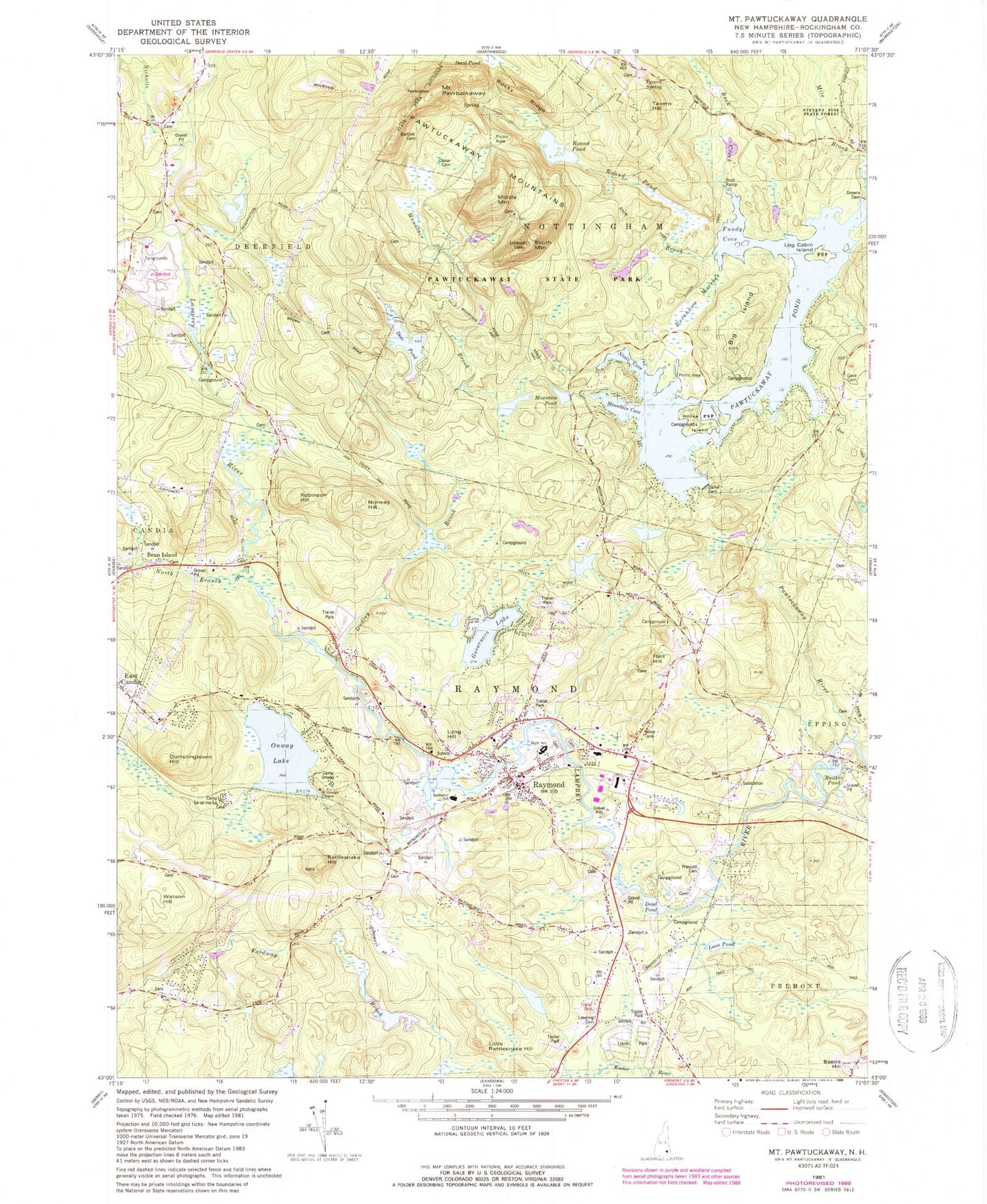
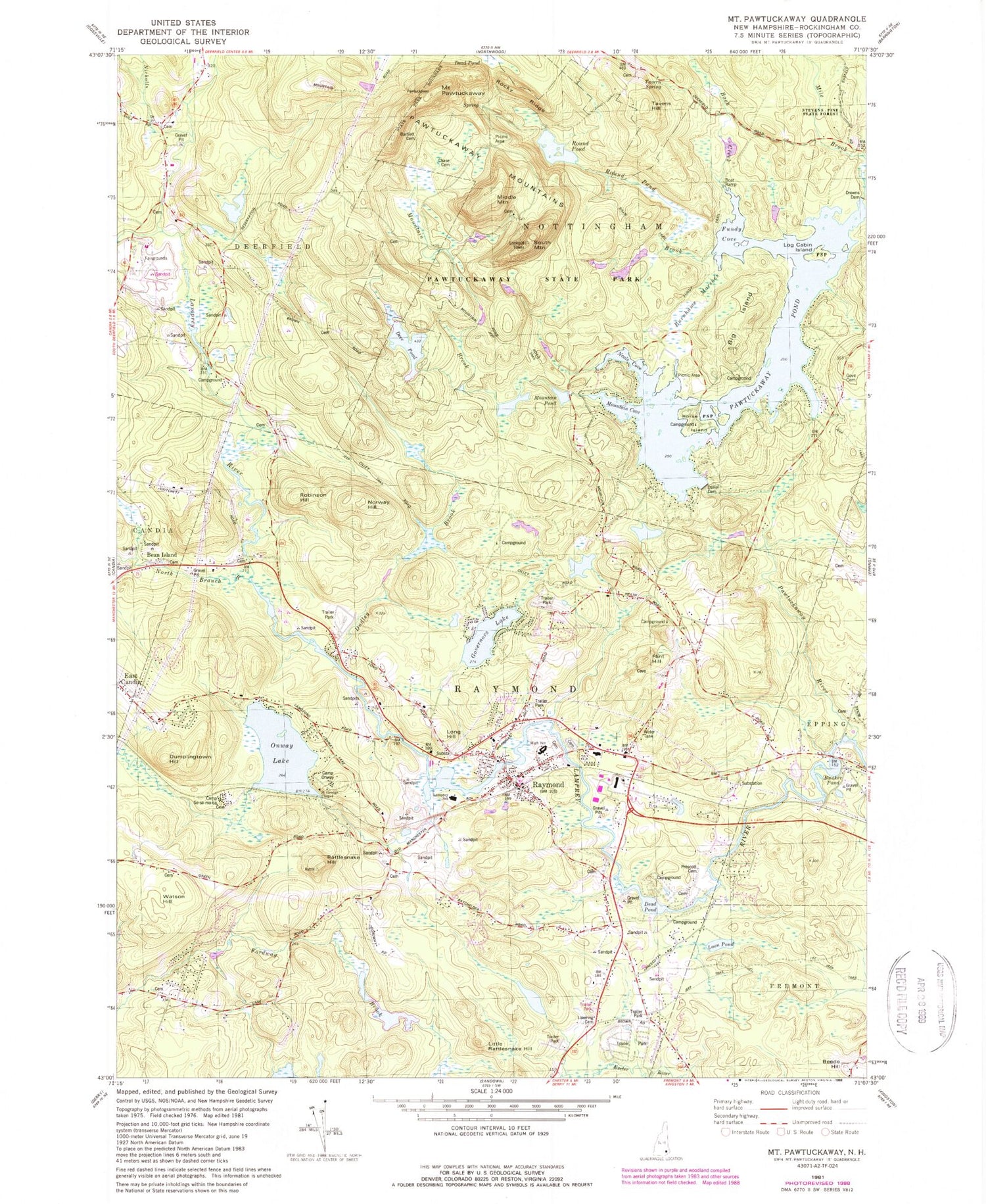
Classic USGS Mount Pawtuckaway New Hampshire 7.5'x7.5' Topo Map
Couldn't load pickup availability
Historical USGS topographic quad map of Mount Pawtuckaway in the state of New Hampshire. Typical map scale is 1:24,000, but may vary for certain years, if available. Print size: 24" x 27"
This quadrangle is in the following counties: Rockingham.
The map contains contour lines, roads, rivers, towns, and lakes. Printed on high-quality waterproof paper with UV fade-resistant inks, and shipped rolled.
Contains the following named places: Back Creek, Bean Island, Beede Hill, Big Island, Bunker Pond, Burnhams Marshes, Dead Pond, Deer Pond, Deerfield Fairgrounds, Dudley Brook, Dumplingtown Hill, East Candia, Flint Hill, Fundy Cove, Gove Cemetery, Governors Lake, Hartford Brook, Horse Island, Little Rattlesnake Hill, Log Cabin, Long Hill, Loon Pond, Lovering Cemetery, Mountain Brook, Neals Cove, Nicholls Brook, North Branch River, Norway Hill, Onway Lake, Onway Lake, Pawtuckaway Mountains, Pawtuckaway Pond, Pawtuckaway River, Pawtuckaway State Reservation, Mount Pawtuckaway, Rattlesnake Hill, Raymond, Robinson Hill, Round Pond, Seamans Point, Tavern Hill, Watson Hill, Falcon Station Heliport, Town of Raymond, Dolloff Dam, Gove Dike, Pawtuckaway Pond, Drowns Dam, Pawtuckaway Pond, Bunker Pond Dam, Onway Lake Dam, Deer Pond Dam, Mountain Brook Dam, Mountain Brook Pond, Raymond Census Designated Place, Country Club for Kids Child Care Center, Village Kindergarten School, Blocks To Books Children's Center, Lamprey River Elementary School, Iber Holmes Gove Middle School, Raymond High School, Center of Optimum Learning, Longview School, Mountain Cove, Mountain Pond, Raymond Fire Department, Epping Fire Department West Station, Raymond Ambulance, Raymond Police Dept, Raymond Post Office


