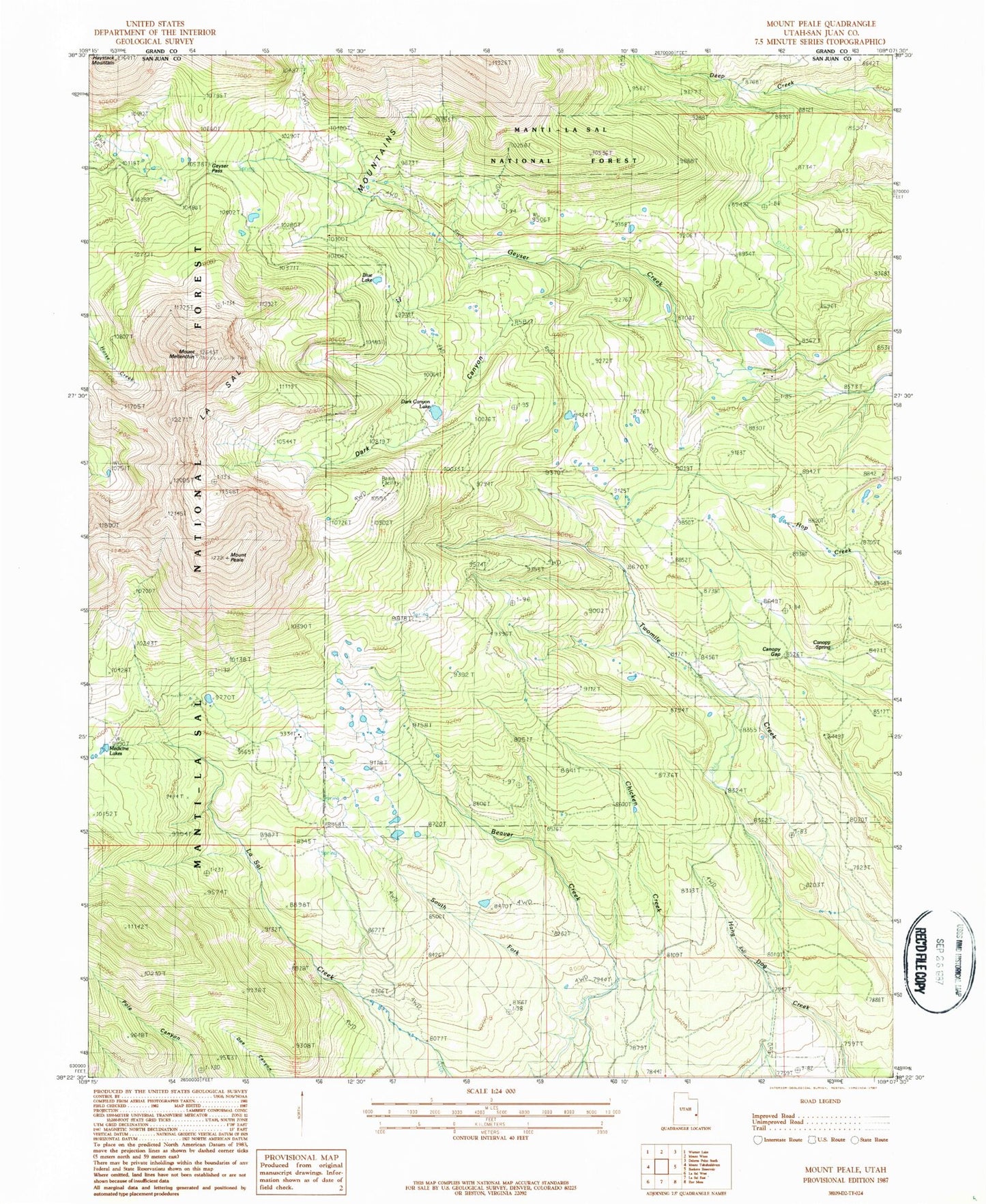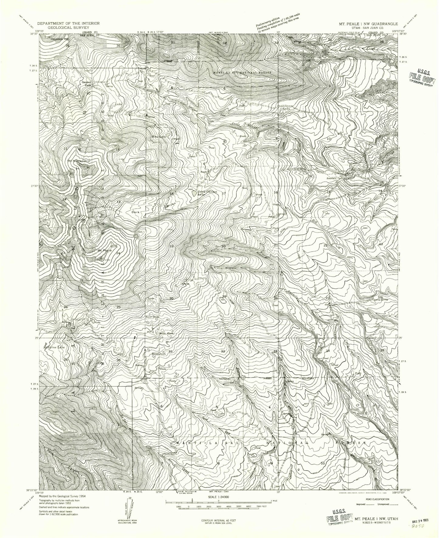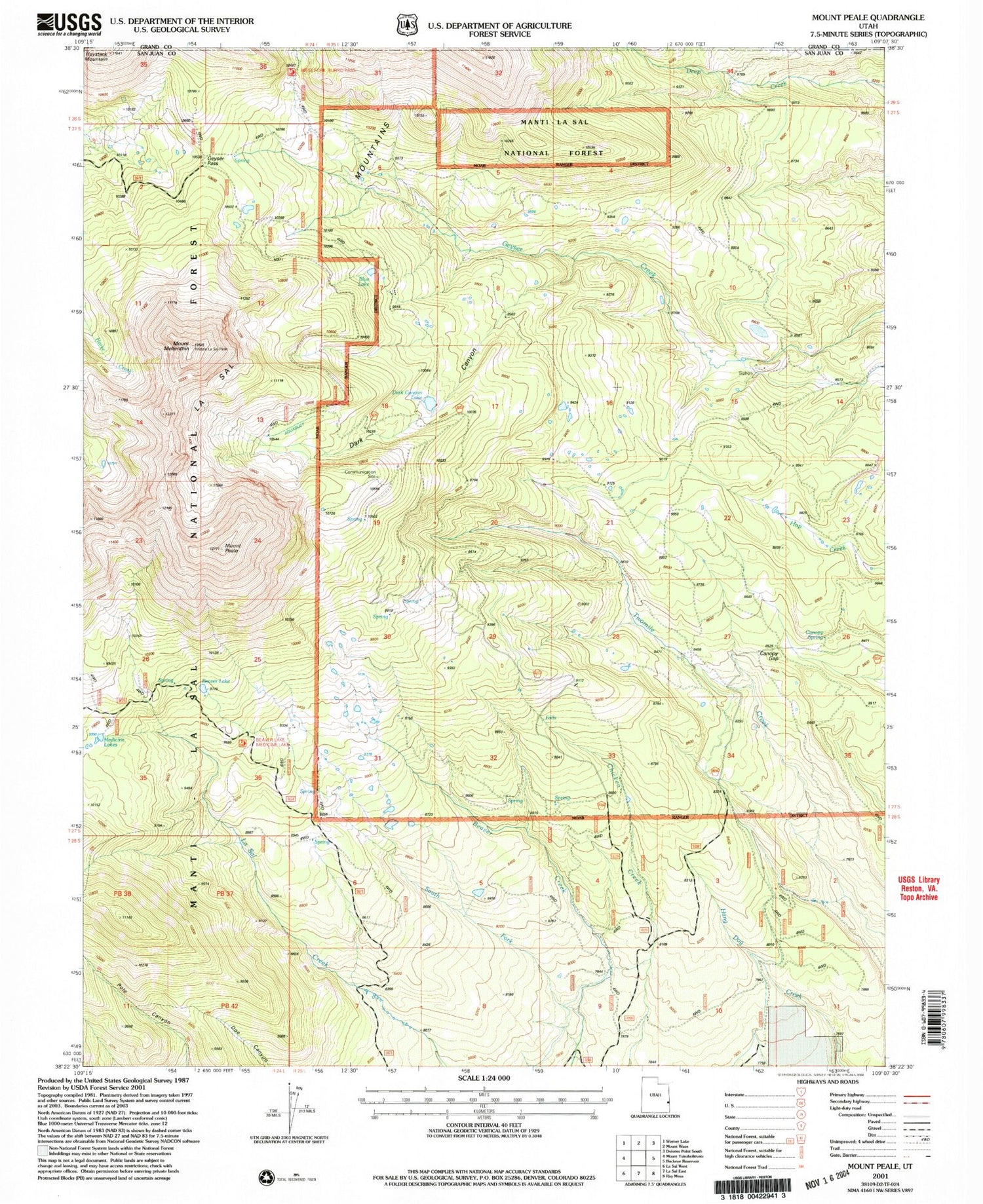
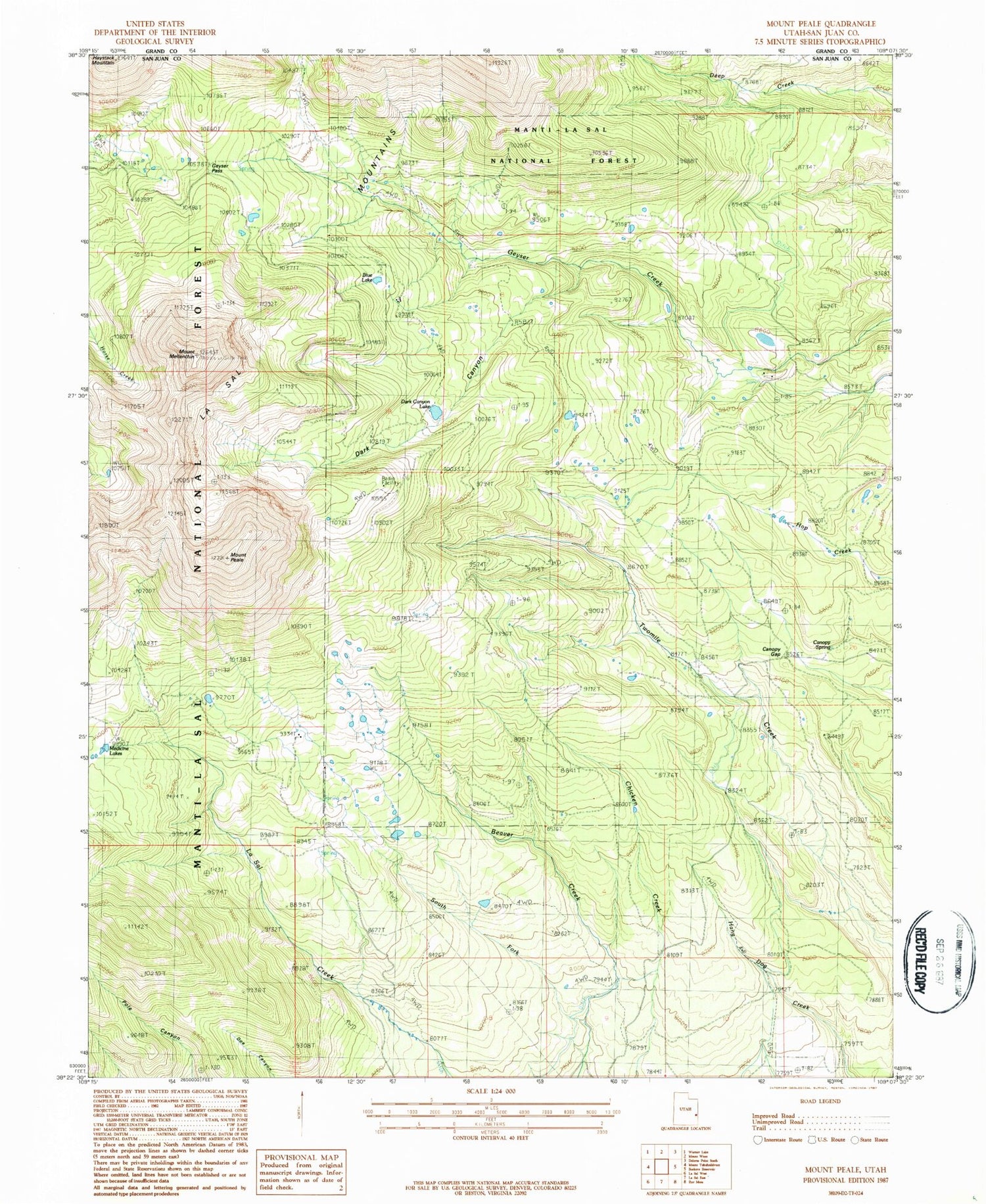
MyTopo
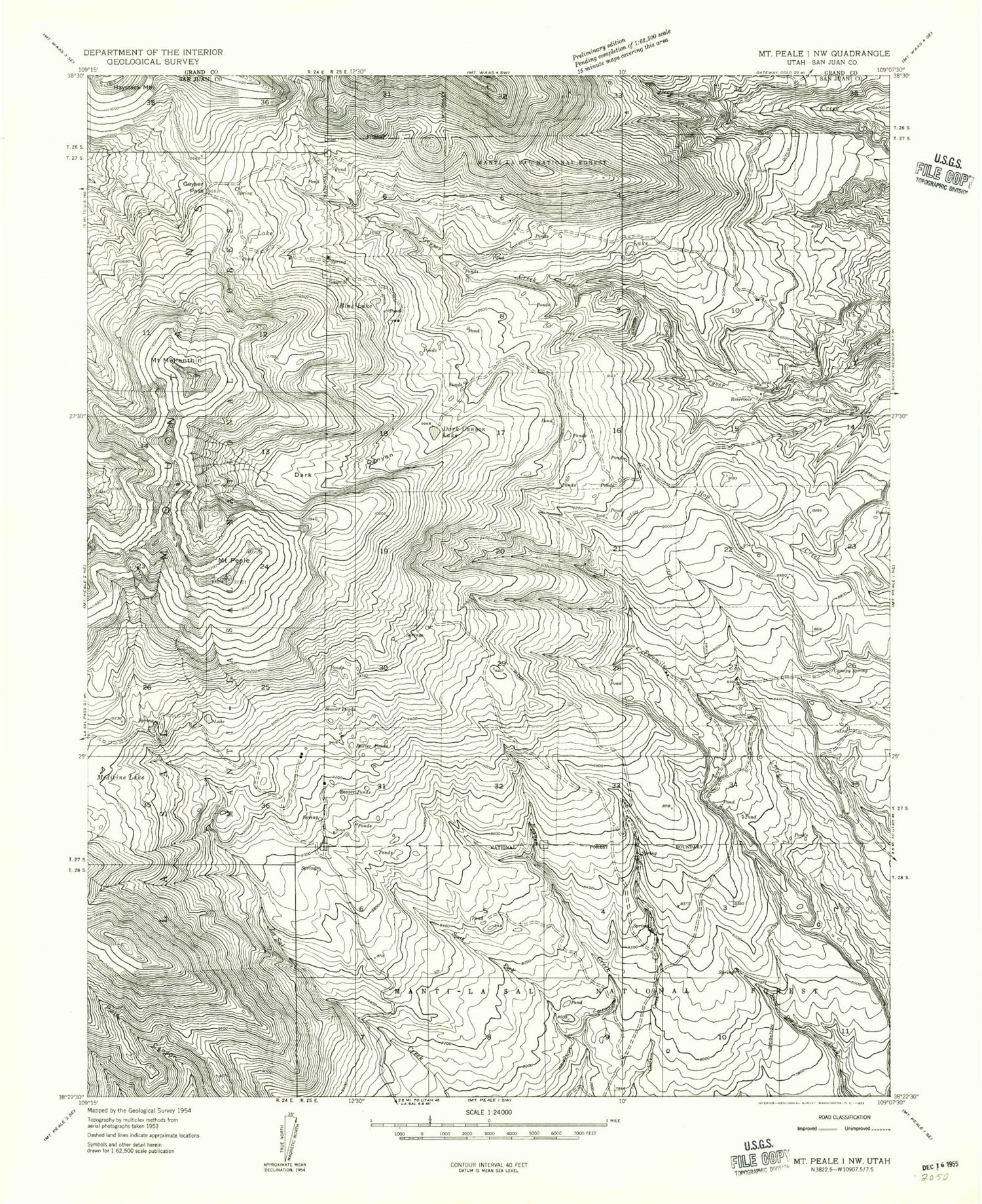
Classic USGS Mount Peale Utah 7.5'x7.5' Topo Map
Couldn't load pickup availability
Historical USGS topographic quad map of Mount Peale in the state of Utah. Typical map scale is 1:24,000, but may vary for certain years, if available. Print size: 24" x 27"
This quadrangle is in the following counties: Grand, San Juan.
The map contains contour lines, roads, rivers, towns, and lakes. Printed on high-quality waterproof paper with UV fade-resistant inks, and shipped rolled.
Contains the following named places: Blue Lake, Canopy Spring, Dark Canyon, Dark Canyon Lake, Geyser Pass, Haystack Mountain, Medicine Lakes, Mount Mellenthin, Mount Peale, South Fork Beaver Creek, Beaver Lake, Canopy Gap, Blue Lake, Canopy Spring, Dark Canyon, Dark Canyon Lake, Geyser Pass, Haystack Mountain, Medicine Lakes, Mount Mellenthin, Mount Peale, South Fork Beaver Creek, Beaver Lake, Canopy Gap