MyTopo
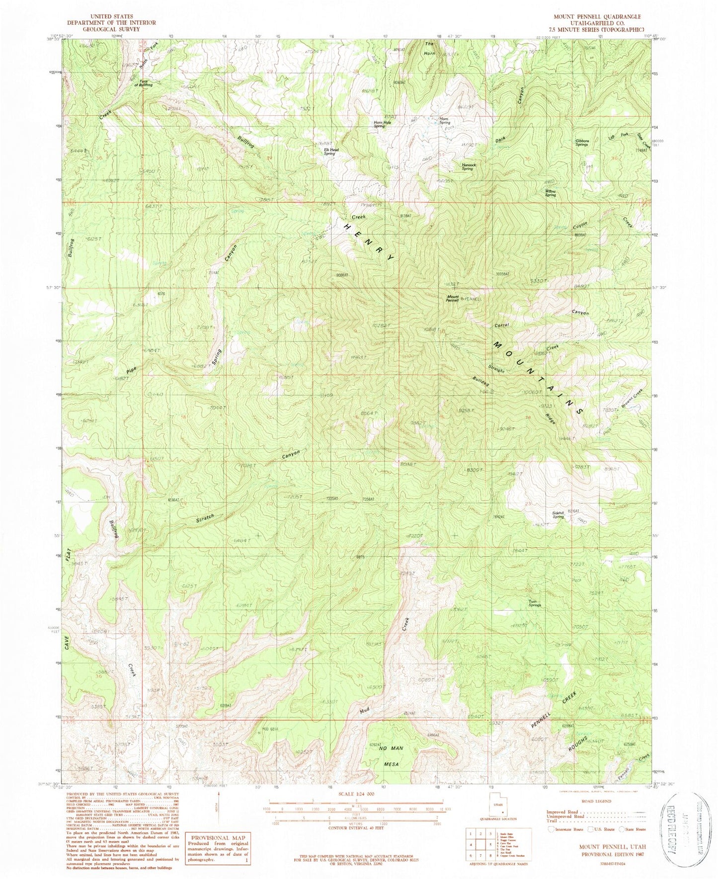
Classic USGS Mount Pennell Utah 7.5'x7.5' Topo Map
Regular price
$16.95
Regular price
Sale price
$16.95
Unit price
per
Couldn't load pickup availability
Historical USGS topographic quad map of Mount Pennell in the state of Utah. Map scale may vary for some years, but is generally around 1:24,000. Print size is approximately 24" x 27"
This quadrangle is in the following counties: Garfield.
The map contains contour lines, roads, rivers, towns, and lakes. Printed on high-quality waterproof paper with UV fade-resistant inks, and shipped rolled.
Contains the following named places: Bulldog Ridge, Corral Canyon, Gibbons Springs, Mount Pennell, No Man Mesa, North Fork Bullfrog Creek, Pennell Creek Roughs, Scratch Canyon, The Horn, Turn of Bullfrog