MyTopo
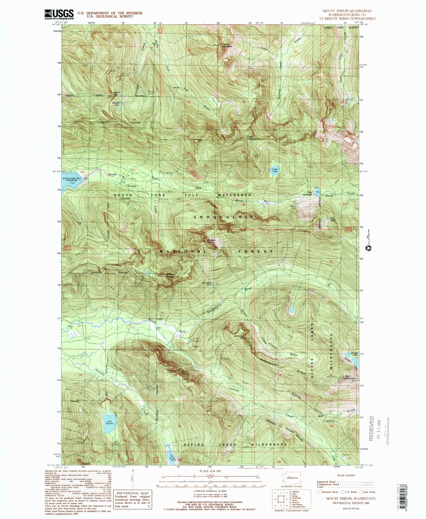
Classic USGS Mount Phelps Washington 7.5'x7.5' Topo Map
Couldn't load pickup availability
Historical USGS topographic quad map of Mount Phelps in the state of Washington. Typical map scale is 1:24,000, but may vary for certain years, if available. Print size: 24" x 27"
This quadrangle is in the following counties: King.
The map contains contour lines, roads, rivers, towns, and lakes. Printed on high-quality waterproof paper with UV fade-resistant inks, and shipped rolled.
Contains the following named places: Apex Mine, Bare Mountain, Bear Creek, Beaverdale Mine, Bench Lake, Blackhawk Mine, Cougar Creek, Crater Lake, Damon Mine, Lake Elizabeth, Frozen Mountain, Illinois Basin, Illinois Creek, Mount Lee, Lennox Creek, Lennox Mines, Loch Katrine, Mount Phelps, Paradise Lakes, Phelps Creek, Prospectors Ridge, Red Mountain, Salmon Creek, South Fork Tolt Watershed, Sunday Lake, Titicaed Creek, Titicaed Lake, Bare Mountain Lookout