MyTopo
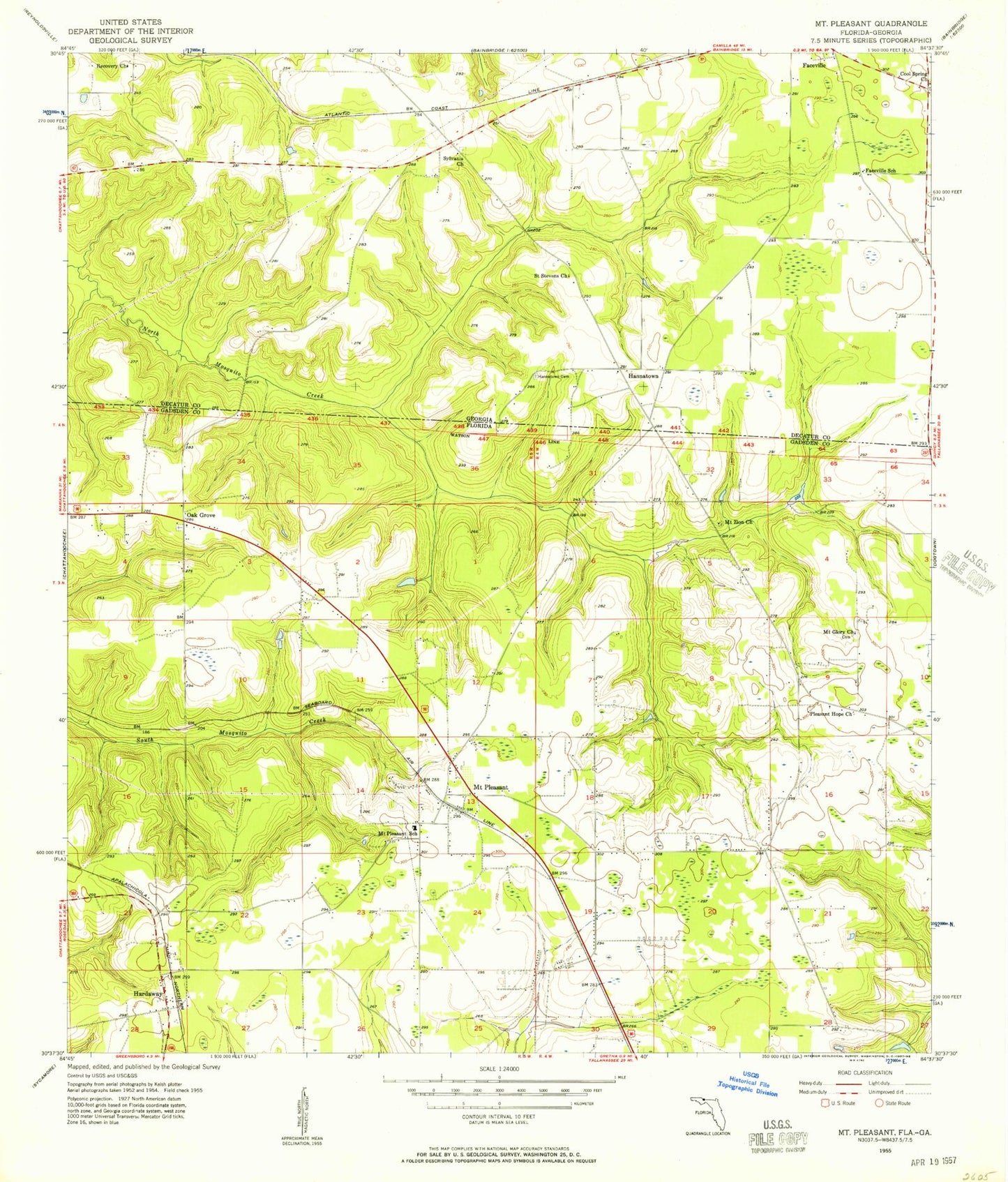
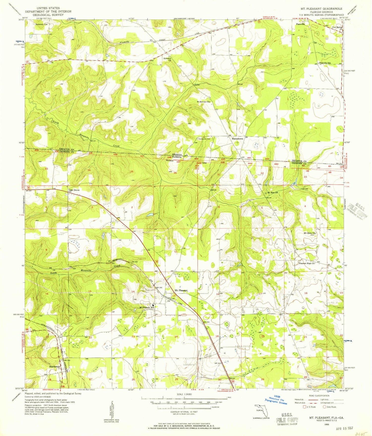
Classic USGS Mount Pleasant Florida 7.5'x7.5' Topo Map
Couldn't load pickup availability
Historical USGS topographic quad map of Mount Pleasant in the states of Florida, Georgia. Map scale may vary for some years, but is generally around 1:24,000. Print size is approximately 24" x 27"
This quadrangle is in the following counties: Decatur, Gadsden.
The map contains contour lines, roads, rivers, towns, and lakes. Printed on high-quality waterproof paper with UV fade-resistant inks, and shipped rolled.
Contains the following named places: Centenary Church Camp Grounds, F J Betts Pond, Faceville School, Hannatown, Hannatown Cemetery, Hannatown Church, Hardaway, Johnsons Store, Mount Glory Cemetery, Mount Glory Church, Mount Pleasant, Mount Pleasant School, Mount Pleasant Volunteer Fire Department, Mount Zion Baptist Church Cemetery, Mount Zion Church, Oak Grove, Pleasant Hope Church, Recovery Church, Saint Stevens Church, Sylvania Church