MyTopo
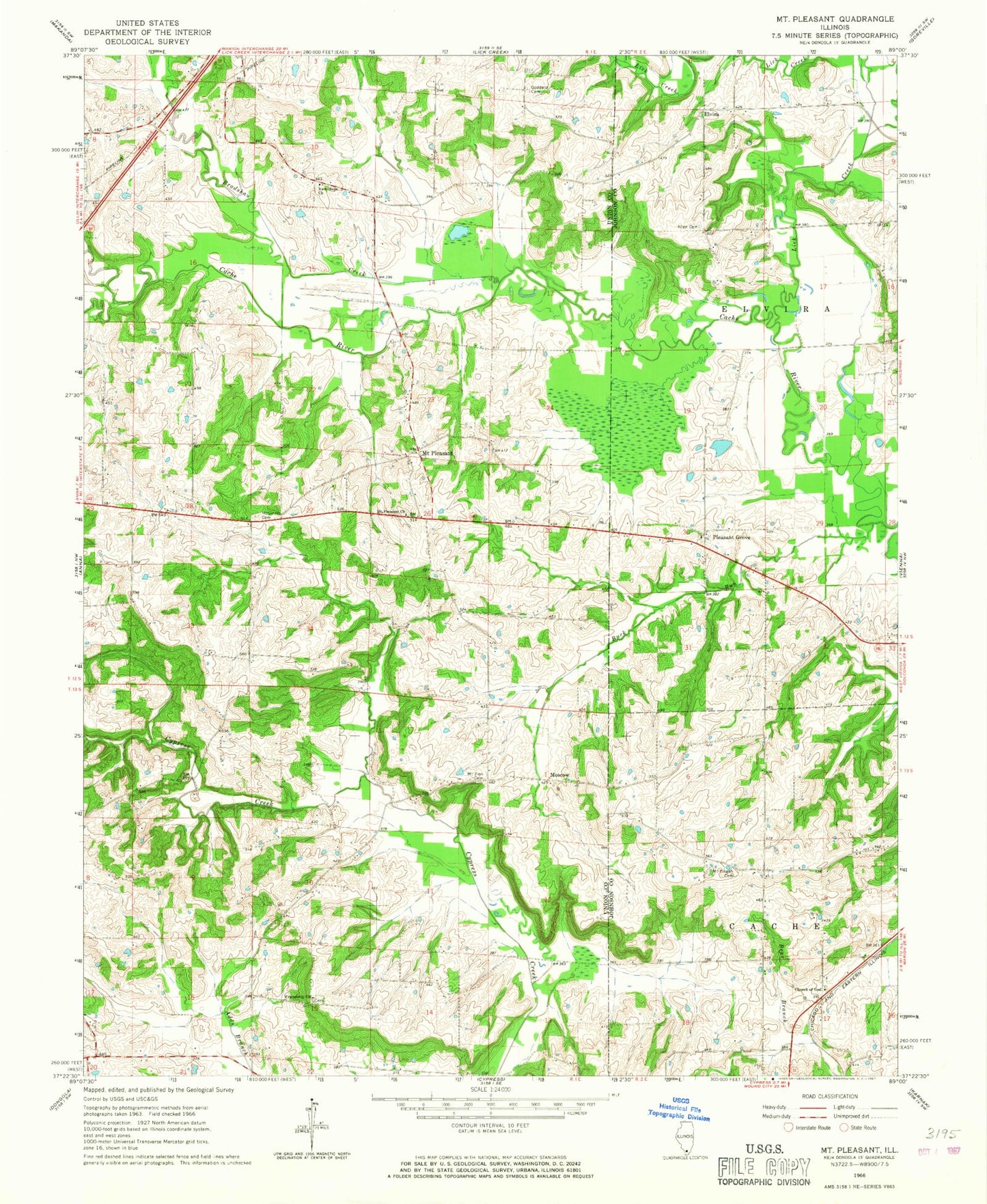
Classic USGS Mount Pleasant Illinois 7.5'x7.5' Topo Map
Couldn't load pickup availability
Historical USGS topographic quad map of Mount Pleasant in the state of Illinois. Map scale may vary for some years, but is generally around 1:24,000. Print size is approximately 24" x 27"
This quadrangle is in the following counties: Johnson, Union.
The map contains contour lines, roads, rivers, towns, and lakes. Printed on high-quality waterproof paper with UV fade-resistant inks, and shipped rolled.
Contains the following named places: Allen Cemetery, Bradshaw Creek, Buck Branch, Buck Run, Church of God, Elvira, Elvira School, Friendship Church, Goddard Cemetery, Karraker School, Lick Creek, McGinnis Cemetery, Moscow, Mount Pisgah Cemetery, Mount Pleasant, Mount Pleasant Church, Mount Zion Cemetery, New Hope Church, Newton School, Penrod School, Pisgah School, Pleasant Grove, Stokes Election Precinct, Union Church, ZIP Code: 62912