MyTopo
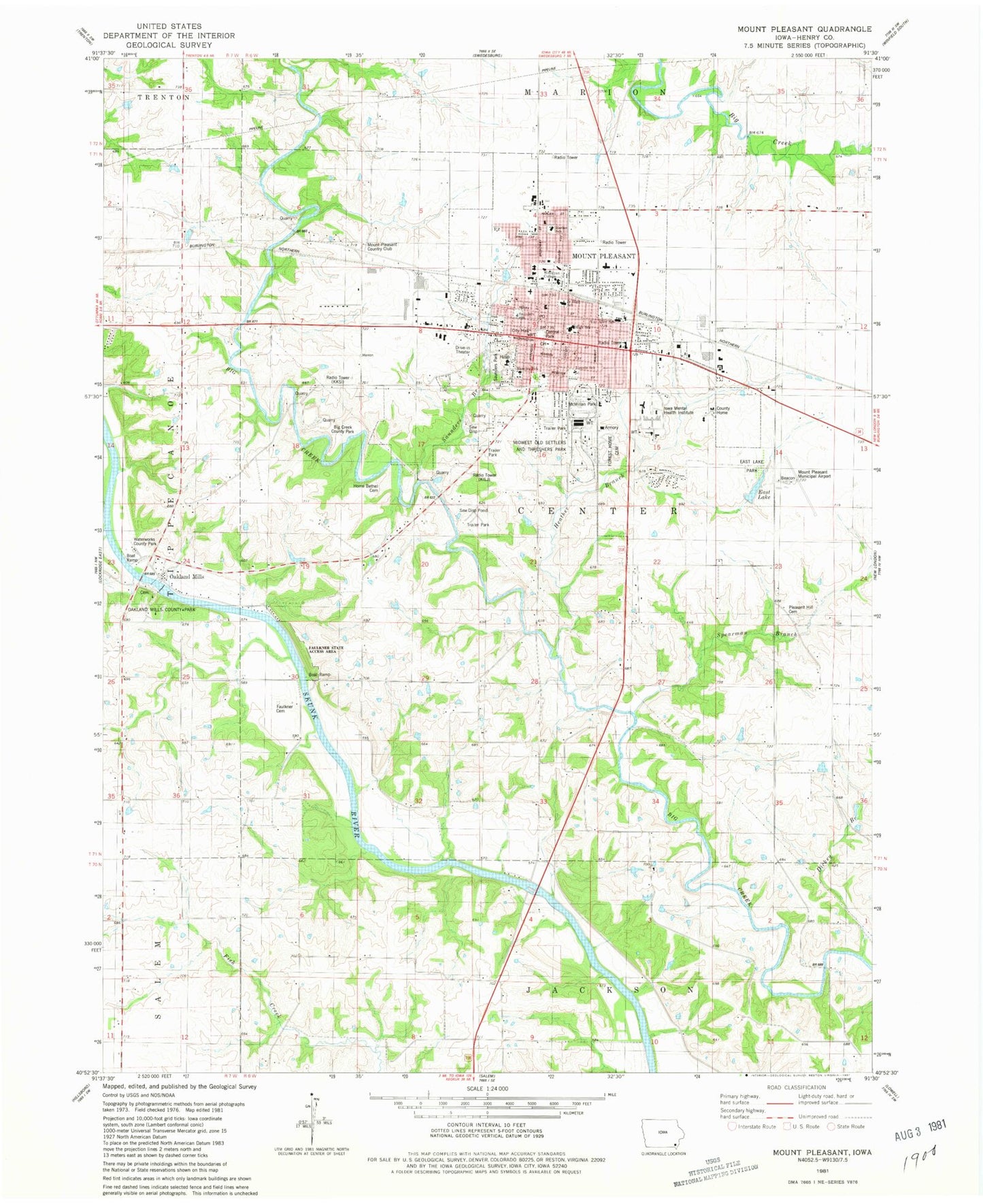
Classic USGS Mount Pleasant Iowa 7.5'x7.5' Topo Map
Couldn't load pickup availability
Historical USGS topographic quad map of Mount Pleasant in the state of Iowa. Map scale may vary for some years, but is generally around 1:24,000. Print size is approximately 24" x 27"
This quadrangle is in the following counties: Henry.
The map contains contour lines, roads, rivers, towns, and lakes. Printed on high-quality waterproof paper with UV fade-resistant inks, and shipped rolled.
Contains the following named places: Abraham Farm Cemetery, Assembly of God Church, Barton Cemetery, Belsare Surgical Clinic, Bible Missionary Church, Big Creek County Park, Bouchey Eye Surgery Center, Calvary Baptist Church, Camp Harlan Historical Marker, Carnahan Cemetery, Cedar Creek Church, Central Park, Chadwick Library, Charles Shepherd Historical Marker, Christian Science Society, Church of the Nazarene, City of Mount Pleasant, Complete Eye Care Center, Congregational Universalist Church, Countryside Mobile Home Court, Cranes Pond Park, Dickey Branch, East Lake, East Lake Park, Faith Lutheran Church, Family Dental Health Services Center, Family Medicine Center of Mount Pleasant, Family Vision Center, Faulkner Cemetery, Faulkner State Access Area, First Baptist Church, First College West of the Mississippi Historical Marker, First Courthouse in Iowa Historical Marker, First Home in Mount Pleasant Historical Marker, First Presbyterian Church, Forest Home Cemetery, Green Valley Mobile Home Court, Harlan Elementary School, Harlan Hotel Historical Marker, Heartland Foot and Ankle Clinic, Heather Branch, Henry County, Henry County Courthouse, Henry County Health Center, Henry County Home, Henry County Law Library, Henry County Sheriff's Office, Heritage Medical Center, Hershey Hall, Hometown Medical Center, Iowa Mental Health Institute, Iowa Wesleyan College, J and J Camping, James A Throop Home Historical Marker, James Harlan State Historical Marker, Jesus Only Church of Christ, KILJ-AM (Mount Pleasant), KILJ-FM (Mount Pleasant), Kingdom Hall of Jehovahs Witnesses, La Hoyt, Lahoyt Post Office, Lincoln Elementary School, Lincoln Street Baptist Church, Little League Ball Park, Manning School, Mapleleaf Healthcare Center, Mardan Mobile Home Court, McKibbin Hall, McMillan Park, Medical Heliport, Midwest Old Settlers and Threshers Park, Midwest Old Threshers Heritage Museum, Mount Pleasant, Mount Pleasant Chiropractic Center, Mount Pleasant Christian School, Mount Pleasant City Hall, Mount Pleasant Correctional Facility, Mount Pleasant Country Club, Mount Pleasant Dental Associates, Mount Pleasant Fire Department, Mount Pleasant High School, Mount Pleasant Mental Health Institute, Mount Pleasant Middle School, Mount Pleasant Municipal Airport, Mount Pleasant Old City Cemetery, Mount Pleasant Police Department, Mount Pleasant Post Office, Mount Pleasant Public Library, Mount Pleasant Wastewater Treatment Plant, Oakland Mills, Oakland Mills Bridge, Oakland Mills Cemetery, Oakland Mills Community Church, Oakland Mills County Park, Oakland Mills Post Office, Open Bible Standard Church, Orthopedic Clinic, Park Place Long Term Care Unit, PEO Memorial Building, Pickard Cemetery, Pioneer Church School Historical Marker, Pleasant Hill Cemetery, Pleasant View Mennonite Church, Reorganized Church of Jesus Christ of Latter Day Saints, Robinson Cemetery, Rural Post Office, Saint Alphonsus Cemetery, Saint Alphonsus Church, Saint Michael's Episcopal Church, Saunders Branch, Saunders Park, Saunders School, Science Hall, Second Baptist Church, Sheaffer Park, Sheaffer-Trieschmann Hall, Spearman Branch, Student Union, Theatre Museum of Repertoire Americana, Township of Center, United Methodist Church, Van Allen Elementary School, Van Allen House Heritage Center, Waterworks County Park, Westwood, Williford Cemetery, WisdomQuest Alternative High School, Woodside Mobile Estates, ZIP Code: 52641


