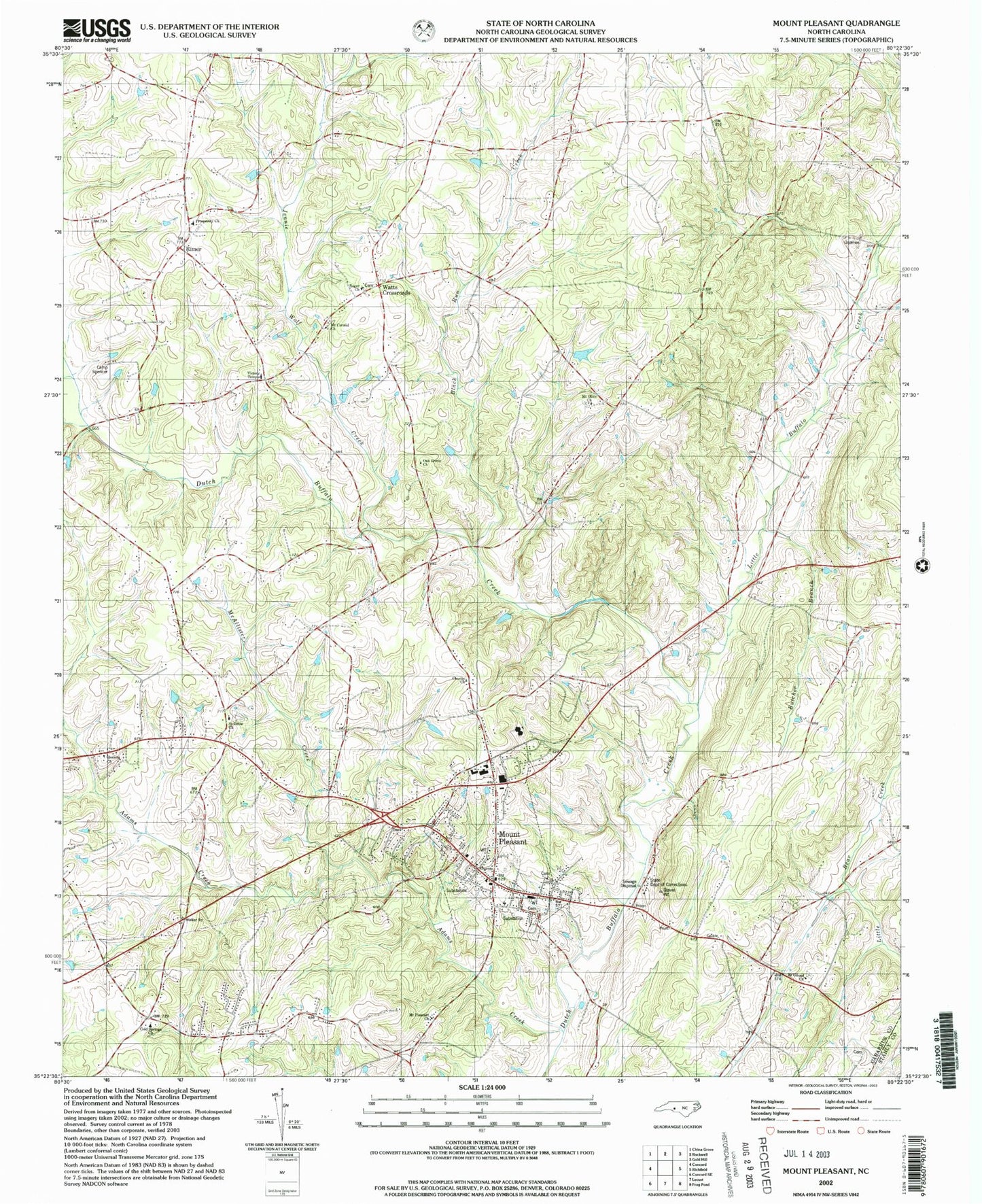
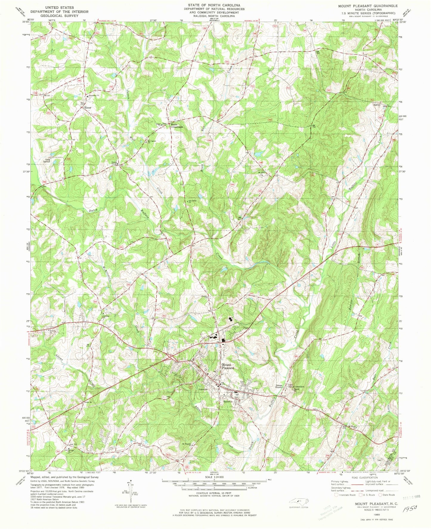
MyTopo
Classic USGS Mount Pleasant North Carolina 7.5'x7.5' Topo Map
Couldn't load pickup availability
Historical USGS topographic quad map of Mount Pleasant in the state of North Carolina. Map scale may vary for some years, but is generally around 1:24,000. Print size is approximately 24" x 27"
This quadrangle is in the following counties: Cabarrus, Stanly.
The map contains contour lines, roads, rivers, towns, and lakes. Printed on high-quality waterproof paper with UV fade-resistant inks, and shipped rolled.
Contains the following named places: Adams Creek, Black Run Creek, Boger Church, Butcher Branch, Cabarrus County Emergency Medical Services Station 3, Camp Spencer, Charity Church, Cline School, Cold Springs Church, Concord Airport, Faggart, Glorieta Church, Jennie Wolf Creek, Little Buffalo Creek, McAllister Creek, Mount Carmel Church, Mount Gilead Church, Mount Olive Church, Mount Pleasant, Mount Pleasant Church, Mount Pleasant Community Park, Mount Pleasant Fire and Rescue, Mount Pleasant Post Office, Oak Grove Church, Prosperity Church, Rimer, Rimer Volunteer Fire Department, Saint Johns Church, Town of Mount Pleasant, Township 6-Rimertown, Township 8-Mount Pleasant, Victory Temple, Watts Crossroads, West Airport, ZIP Code: 28124