MyTopo
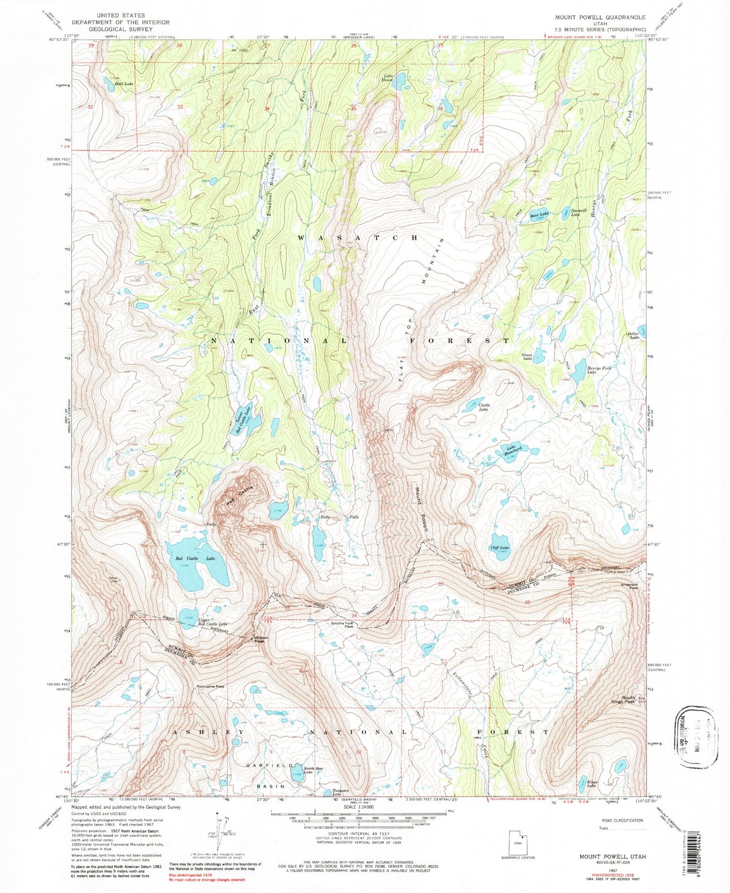
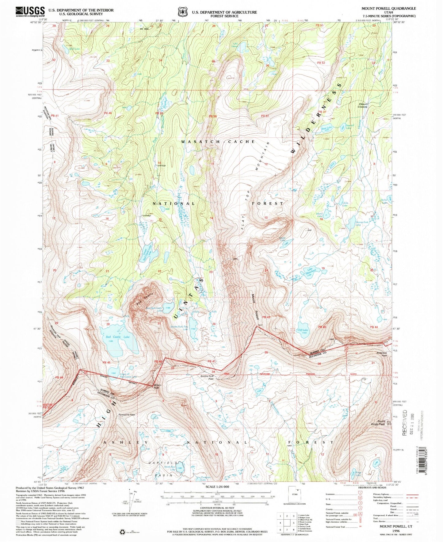
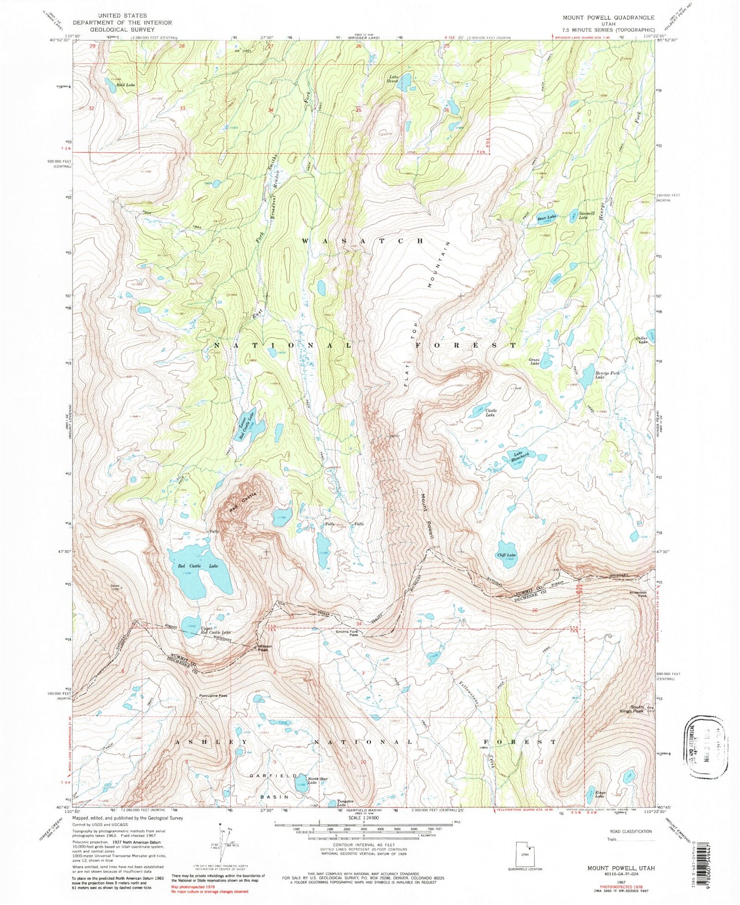
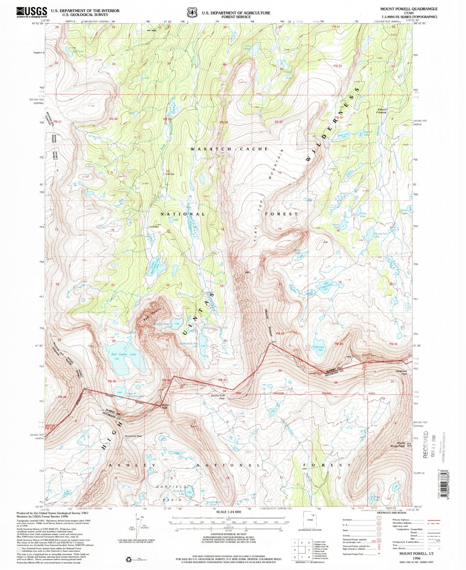
USGS Classic Mount Powell Utah 7.5'x7.5' Topo Map
Couldn't load pickup availability
Historical USGS topographic quad map of Mount Powell in the state of Utah. Scale: 1:24000. Print size: 24" x 27"
This quadrangle is in the following counties: Duchesne, Summit.
The map contains contour lines, roads, rivers, towns, lakes, and grids including latitude / longitude and UTM / MGRS. Printed on high-quality waterproof paper with UV fade-resistant inks.
Contains the following named places: Anderson Pass, Bald Lake, Bear Lake, Lake Blanchard, Broadbent Meadow, Castle Lake, Cliff Lake, Dollar Lake, Flat Top Mountain, Grass Lake, Henrys Fork Lake, Lake Hessie, Kings Lake, Lower Red Castle Lake, North Star Lake, Porcupine Pass, Mount Powell, Red Castle, Red Castle Lake, Sawmill Lake, Smiths Fork Pass, South Kings Peak, Tungsten Lake, Upper Red Castle Lake, Elkhorn Crossing, Island Lake, Wilson Peak, East Red Castle Lake, Smiths Fork Pass Lake


