MyTopo
Classic USGS Mount Rae Montana 7.5'x7.5' Topo Map
Couldn't load pickup availability
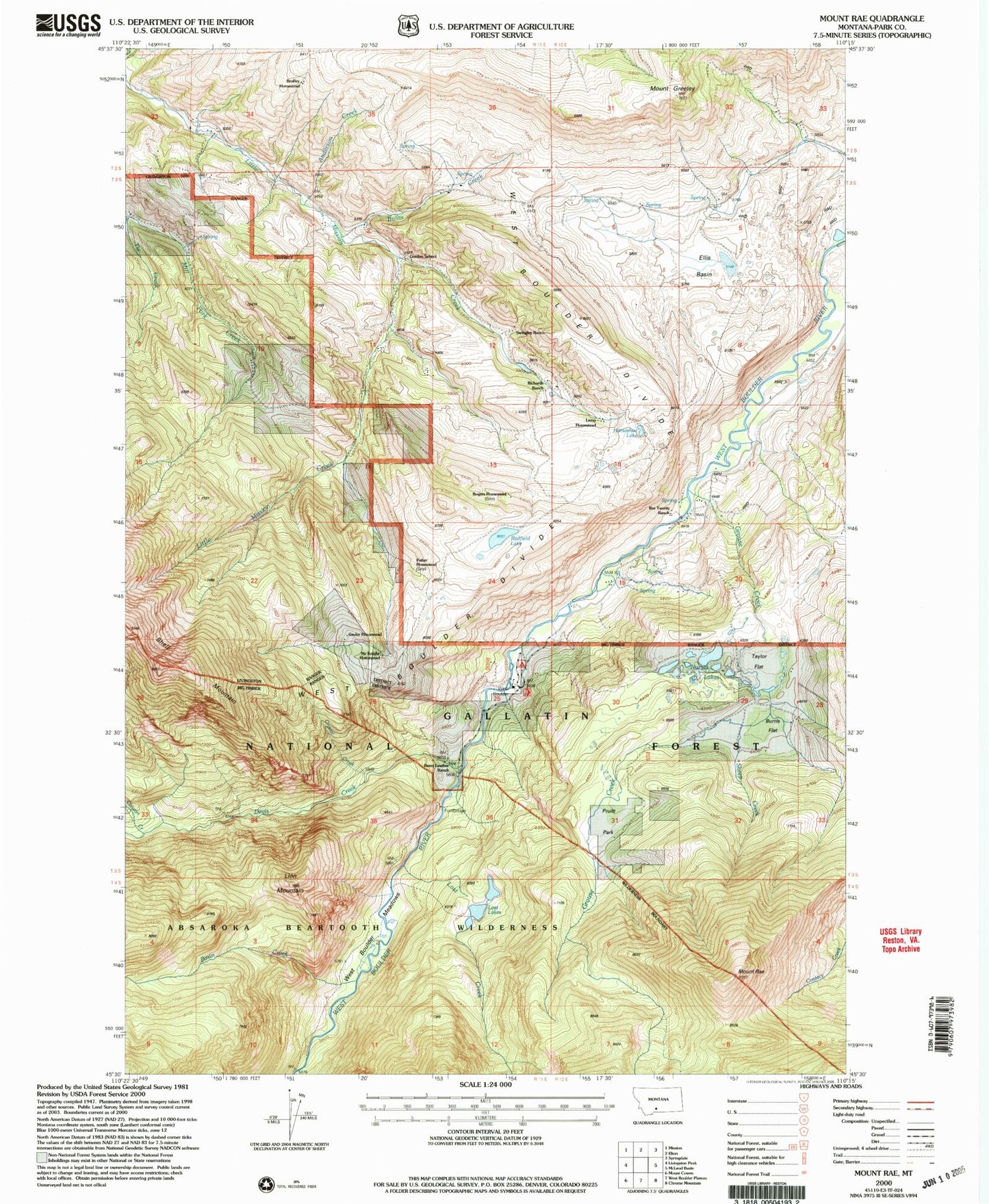
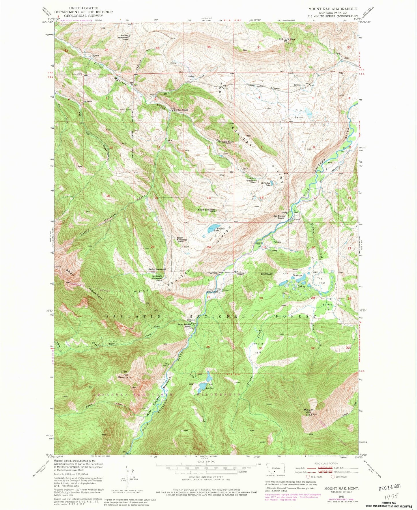
Historical USGS topographic quad map of Mount Rae in the state of Montana. Typical map scale is 1:24,000, but may vary for certain years, if available. Print size: 24" x 27"
This quadrangle is in the following counties: Park.
The map contains contour lines, roads, rivers, towns, and lakes. Printed on high-quality waterproof paper with UV fade-resistant inks, and shipped rolled.
Contains the following named places: Burnt Leather Ranch, McKnight Homestead, Anderson Creek, Bar Twenty Ranch, Basin Creek, Bruffey Homestead, Bullis Creek, Burrls Flat, Canyon Creek, Davis Creek, Ellis Basin, Fisher Homestead, Gaylor Homestead, Gordan School (historical), Mount Greeley, Grouse Creek, Horseshoe Lake, Lamp Homestead, Lion Mountain, Lost Creek, Lost Lakes, Nurses Lakes, Pruitt Park, Mount Rae, Redfield Lake, Richards Ranch, Rogers Homestead, Sheep Creek, Swingley Ranch, Taylor Flat, West Boulder Divide, West Boulder Meadows, West Boulder Ranger Station, West Boulder School (historical), West Boulder Recreation, Crystal Creek, Bruffeys Post Office (historical), Bruffey School (historical), Swingley Post Office (historical)