MyTopo
Classic USGS Mount Redoubt Washington 7.5'x7.5' Topo Map
Regular price
$16.95
Regular price
Sale price
$16.95
Unit price
per
Couldn't load pickup availability
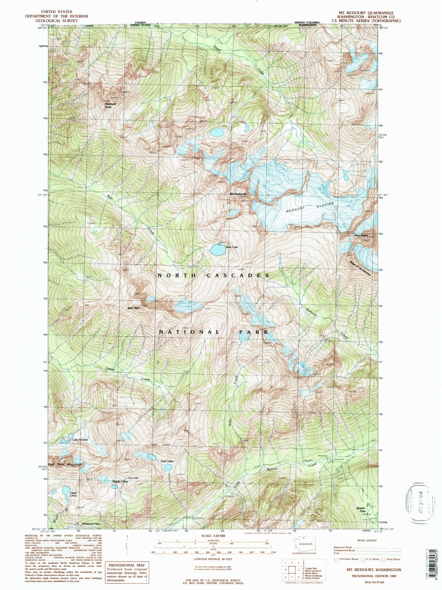
Historical USGS topographic quad map of Mount Redoubt in the state of Washington. Typical map scale is 1:24,000, but may vary for certain years, if available. Print size: 24" x 27"
This quadrangle is in the following counties: Whatcom.
The map contains contour lines, roads, rivers, towns, and lakes. Printed on high-quality waterproof paper with UV fade-resistant inks, and shipped rolled.
Contains the following named places: Bear Lake, Bear Mountain, Beaver Pass, East Lakes, Middle Lakes, Mox Peaks, Pass Creek, Redoubt Glacier, Mount Redoubt, Lake Reveille, Ridge of Gendarmes, Tapto Lakes, Tiny Lake, Whatcom Pass, Nodoubt Peak, Stillwell Shelter (historical), Red Face Mountain