MyTopo
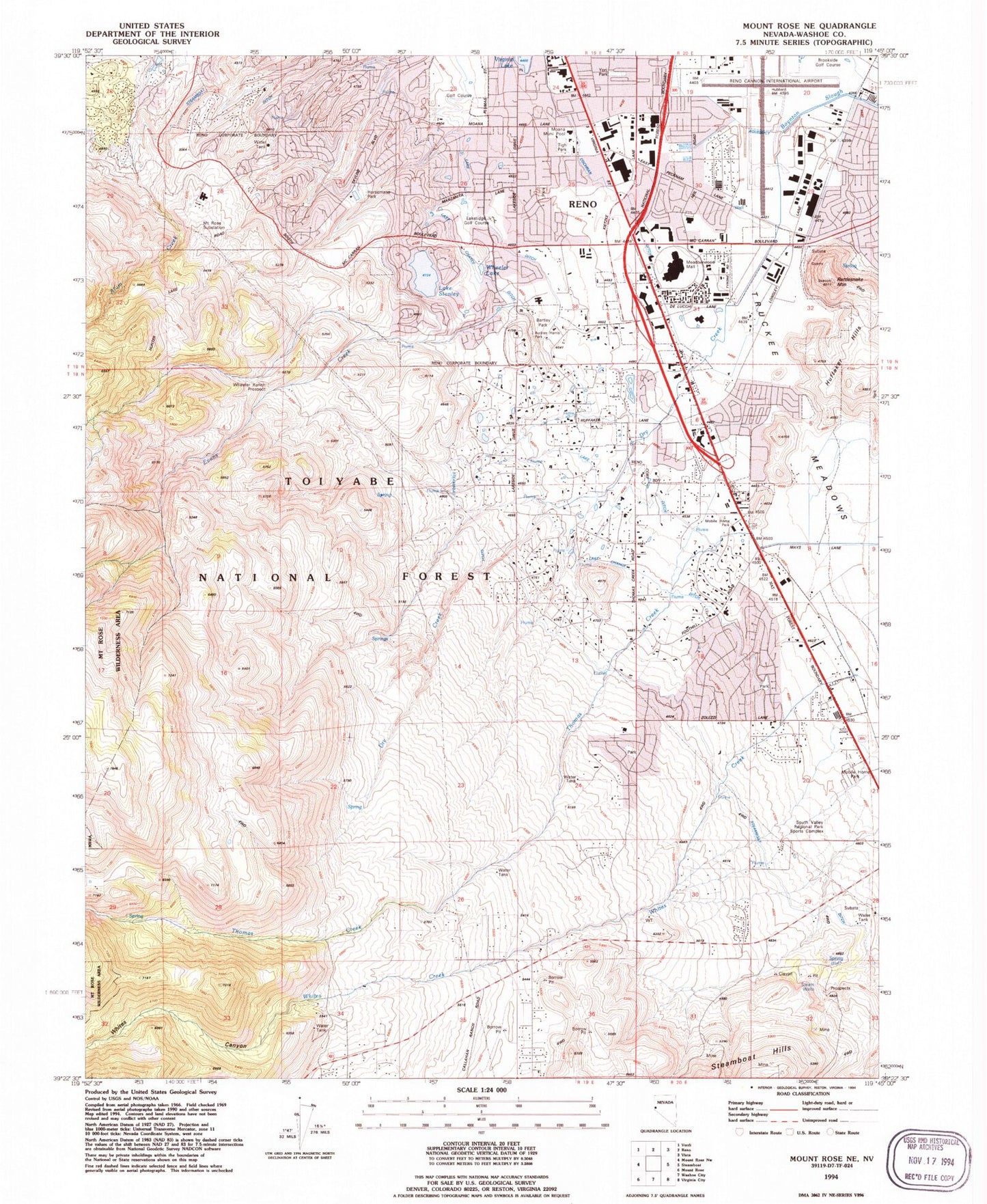
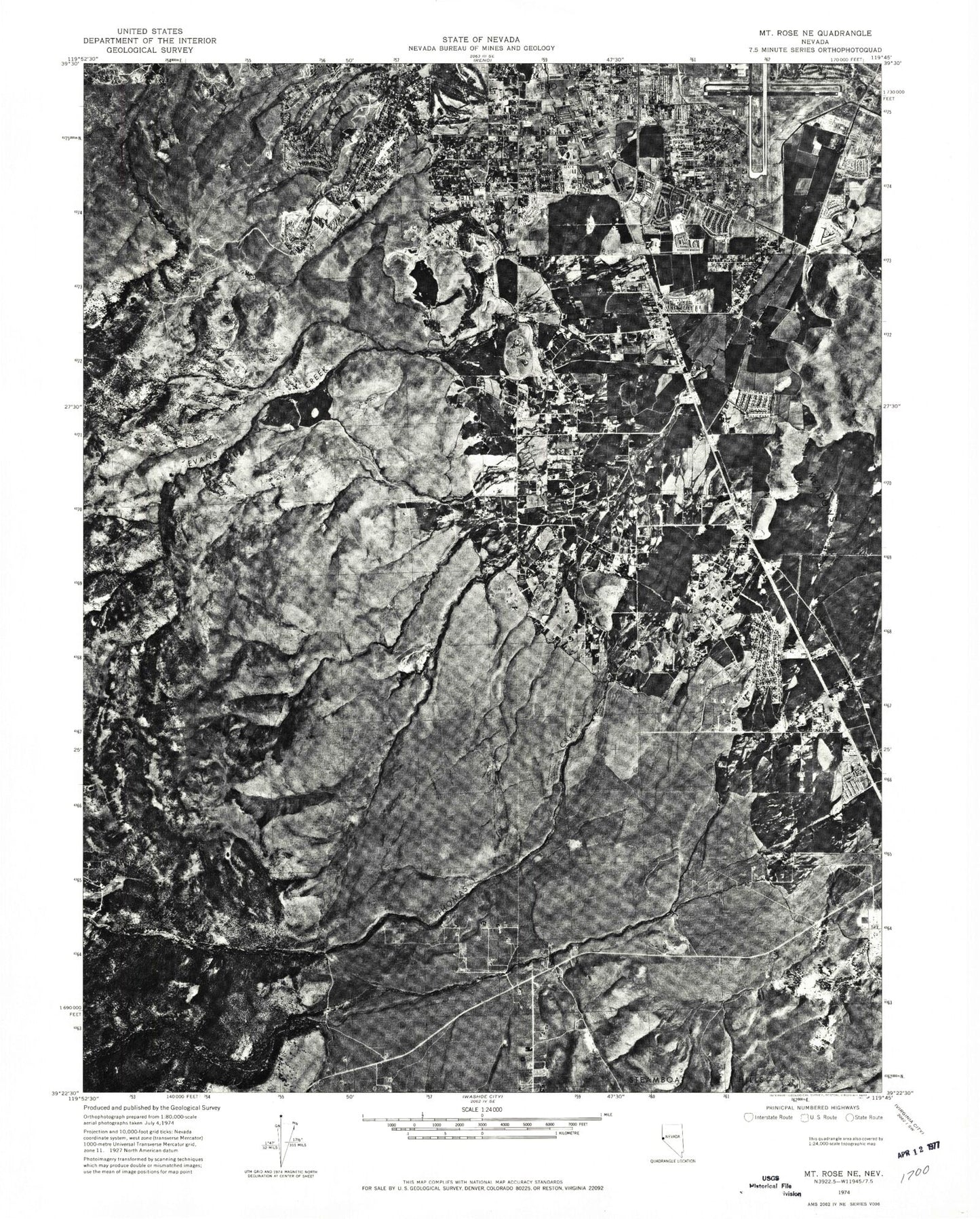
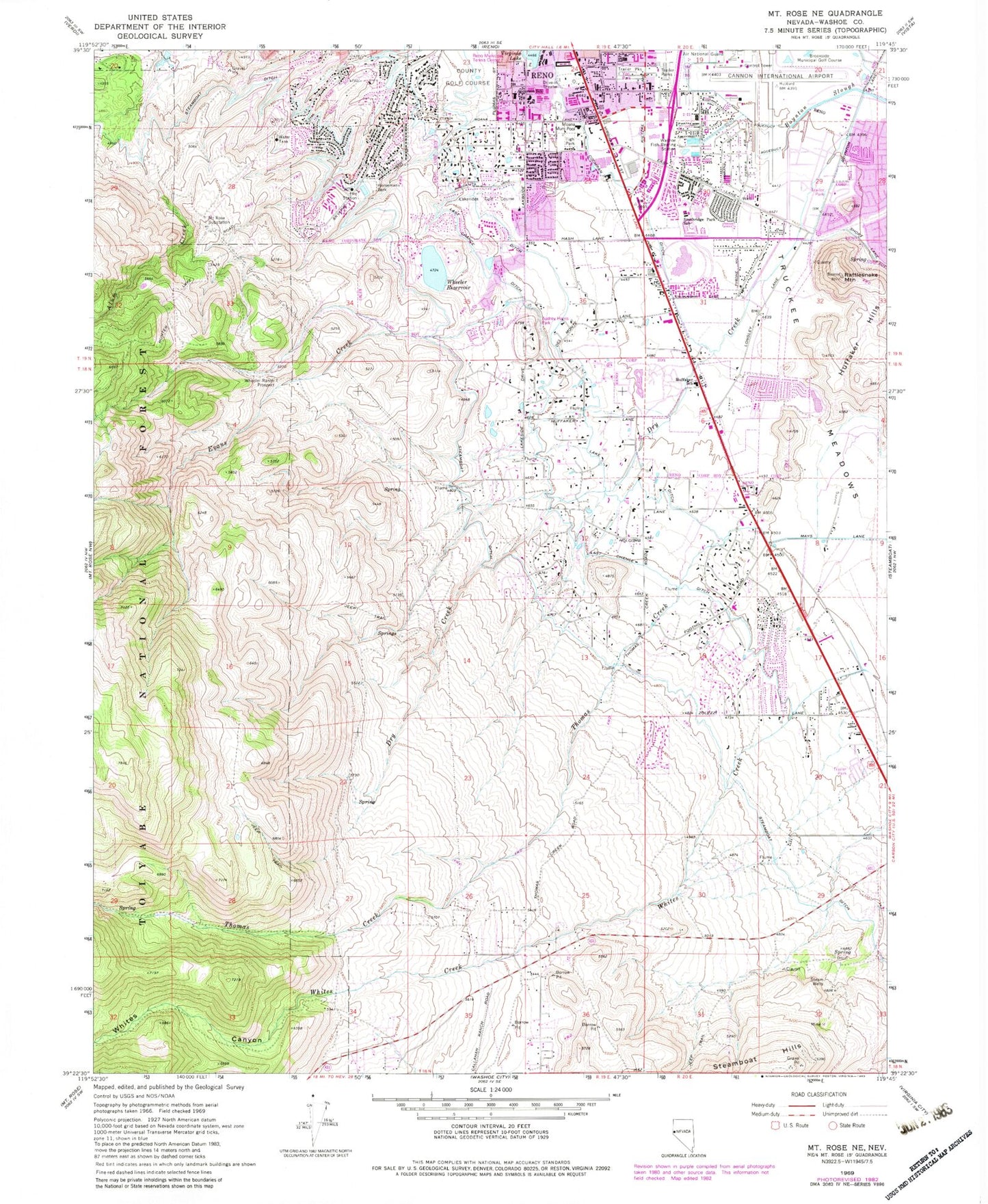
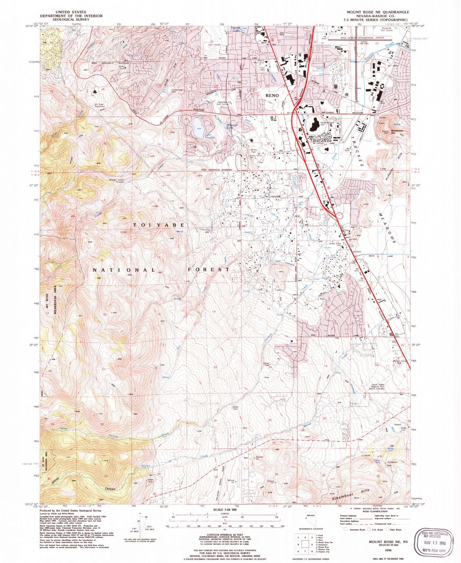
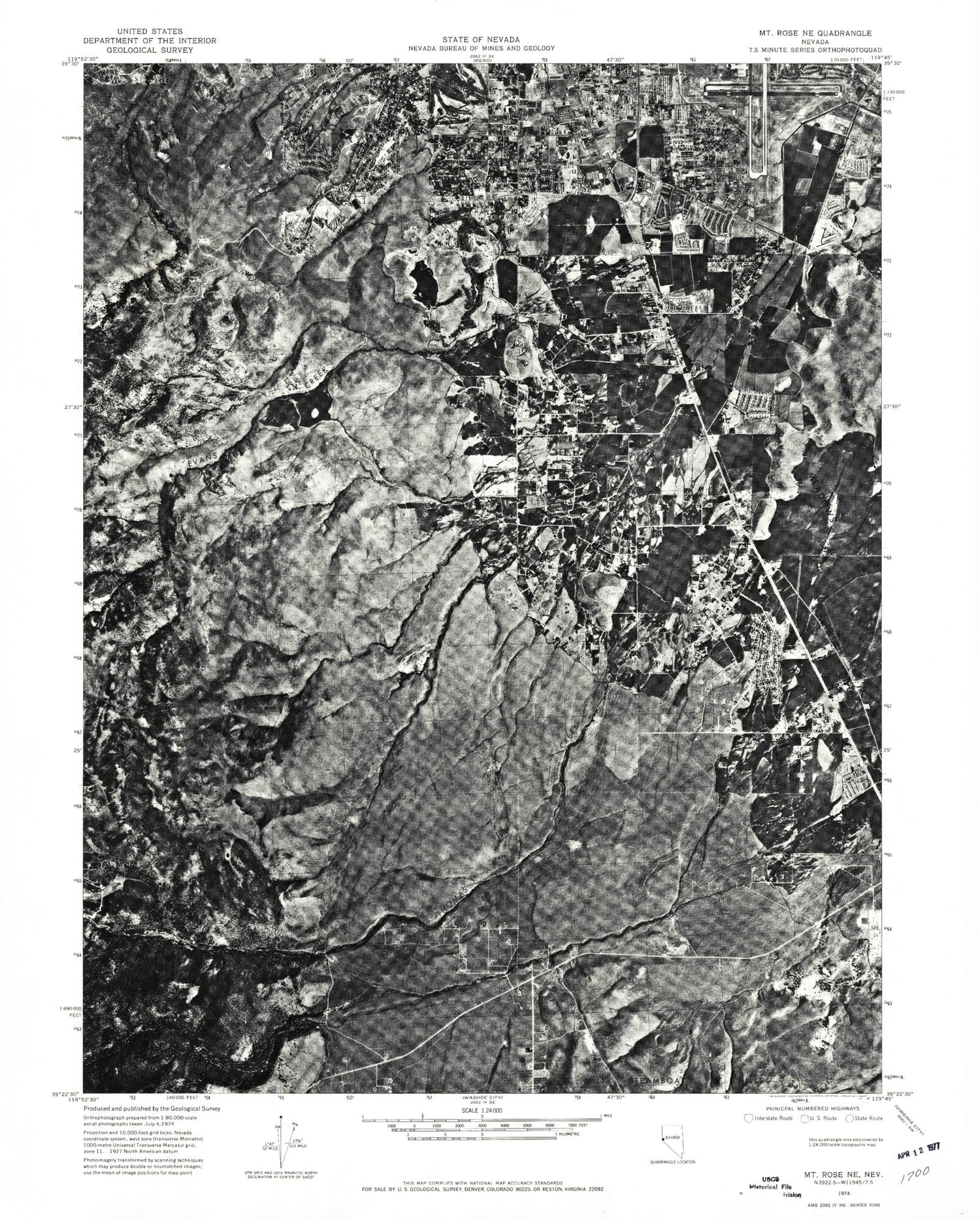
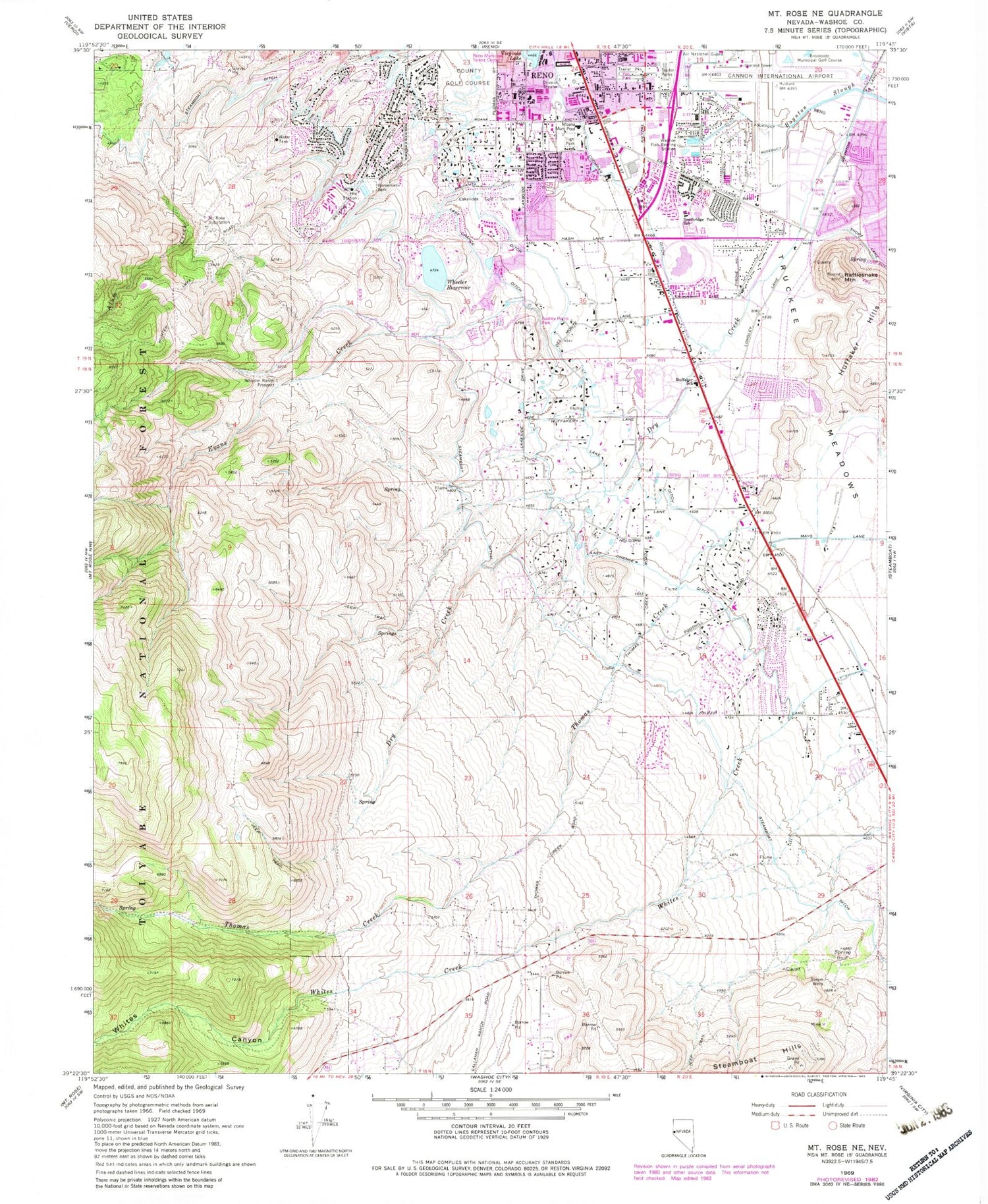
Classic USGS Mount Rose NE Nevada 7.5'x7.5' Topo Map
Couldn't load pickup availability
Historical USGS topographic quad map of Mount Rose NE in the state of Nevada. Typical map scale is 1:24,000, but may vary for certain years, if available. Print size: 24" x 27"
This quadrangle is in the following counties: Washoe.
The map contains contour lines, roads, rivers, towns, and lakes. Printed on high-quality waterproof paper with UV fade-resistant inks, and shipped rolled.
Contains the following named places: Home Garden School (historical), Boynton Ranch, Short Ranch, Redwood Ranch, Double Diamond Ranch, Pedretti Ranch, S J Ranch, Pine Tree Ranch, Browns (historical), Huffaker (historical), Meadowwood Mall, Smithridge Plaza, Old Town Mall, Clarksons Plaza, Caughlin Ranch Elementary School, Andersons (historical), Steamboat Springs Mining District, Sierra Vista Childrens Academy, Brookfield School, Shepherd of the Mountain Lutheran Church School, A Plus Learning Center, Yates Well, University Farm Well, Frey Well, Helms Well, Siri Well, Parragari Well, Pecknam Well, Martic Well, Kimberley Well, Clark Well, King Well, Clark Well, McCulloch Well, Terrill Well, Arbico Well, Brown Well, Hobson Well, Upton Well, Etcheberry Well, Van Slyck Well, Johnson Well, Randall Well, Smith Well, DeGiovanni Well, Glatly Well, Etnyre Well, Edmiston Well, Gibbons Well, Matley Well, Hill Well, Berrum Well, Mercury Well, Cox Well, Reno Press Brick Well, Mount Rose Spring, Christman Well, Zolezzi Springs, Hall Well, Herz Well, Morrey Well, Isabell Well, McKenzie Well, Campbell Well, Newton Well, Fife Well, Guisti Well, Moffat Well, Moana Hot Springs, Moana Springs Well, Crano Wells, Al Koenig Well, Jack Horgan Well, Country Club Wells, Moore Well, Kelty Well, Biglin Well, Miles Well, Quadrio Well, Drendel Well, Erskine Well, Mackay Well, Peigh Well, Wheeler Reservoir, Edward L Pine Middle School, Dodson Elementary School, Lenz Elementary School, Marvin Picollo Elementary School, Thomas Sawmill (historical), Dry Creek, Evans Creek, Horsemans Park, Huffaker Hills, Huffaker Elementary School, Lakeridge Golf Course, Mount Rose Substation, Rattlesnake Mountain, Smithridge Elementary School, Steam Wells, Thomas Creek, Tigh Park, Truckee Meadows, Washoe Fish Rearing Station, Wheeler Ranch Prospect, Whites Canyon, Reno Municipal Tennis Center, Yori Park, Audrey Harris Park, Anderson Elementary School, Moana Municipal Pool, Cochran Ditch, Moana Well, Wheeler Reservoir Dam, Washoe Station Nevada Department of Wildlife Heliport, Truckee Meadows Post Office (historical), Steamboat Post Office, Washoe County Golf Course, Renown Medical Group Urgent Care Center, Eastern Sierra Medical Group and Faster Care, Life Care Center of Reno, Manor Care Health Services, Saint Marys Redfield Clinic, ARC Med Center, Regent Care Center of Reno, Saint Marys Family Walk-In Center, South Reno Medical Plaza, Saint Mary's Medical Center at Galena, Renown South Meadows Medical Center, Tahoe Pacific Hospital Meadows, Galena High School, Hunsburger Elementary School, Bishop Manogue High School, Child Garden South Meadows, Caughlin Ranch Elementary School, Early Basics Learning Academy, Little Hearts Preschool and Kindergarten, Mountain View Montessori School, Sage Ridge School, Truckee Meadows Christain Academy, Bailey Charter School, Mariposa Academy Charter School, Reno Army Air Base (historical), Reno/Tahoe International Airport Air Guard Station, Reno Tahoe Airport Authority Fire Department, Reno Fire Department Station 6, Reno Fire Department Station 14, Sierra Fire Protection District Station 38 and Galena Volunteer Fire Department, Sierra Fire Protection District Station 81 - Galena, Reno Fire Department Station 3, Reno Fire Department Station 7, Reno Police Department Neil Road Substation, Nevada Highway Patrol Northern Command - Reno, Home Garden School (historical), Boynton Ranch, Short Ranch, Redwood Ranch, Double Diamond Ranch, Pedretti Ranch, S J Ranch, Pine Tree Ranch, Browns (historical), Huffaker (historical), Meadowwood Mall, Smithridge Plaza, Old Town Mall, Clarksons Plaza, Caughlin Ranch Elementary School, Andersons (historical), Steamboat Springs Mining District, Sierra Vista Childrens Academy, Brookfield School, Shepherd of the Mountain Lutheran Church School, A Plus Learning Center, Yates Well, University Farm Well, Frey Well, Helms Well, Siri Well, Parragari Well, Pecknam Well, Martic Well, Kimberley Well, Clark Well, King Well, Clark Well, McCulloch Well, Terrill Well, Arbico Well, Brown Well, Hobson Well, Upton Well, Etcheberry Well, Van Slyck Well, Johnson Well, Randall Well, Smith Well, DeGiovanni Well, Glatly Well, Etnyre Well, Edmiston Well, Gibbons Well, Matley Well, Hill Well, Berrum Well, Mercury Well, Cox Well, Reno Press Brick Well, Mount Rose Spring, Christman Well, Zolezzi Springs, Hall Well, Herz Well, Morrey Well, Isabell Well, McKenzie Well, Campbell Well, Newton Well, Fife Well, Guisti Well, Moffat Well, Moana Hot Springs, Moana Springs Well, Crano Wells, Al Koenig Well, Jack Horgan Well, Country Club Wells, Moore Well, Kelty Well, Biglin Well, Miles Well, Quadrio Well, Drendel Well, Erskine Well, Mackay Well, Peigh Well, Wheeler Reservoir
