MyTopo
Classic USGS Mount Saint Helena California 7.5'x7.5' Topo Map
Couldn't load pickup availability
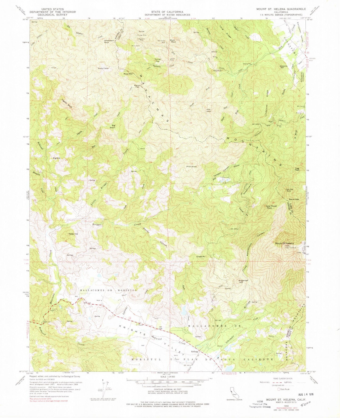
Historical USGS topographic quad map of Mount Saint Helena in the state of California. Map scale may vary for some years, but is generally around 1:24,000. Print size is approximately 24" x 27"
This quadrangle is in the following counties: Lake, Napa, Sonoma.
The map contains contour lines, roads, rivers, towns, and lakes. Printed on high-quality waterproof paper with UV fade-resistant inks, and shipped rolled.
Contains the following named places: Albany Post Office, Appletree Creek, Bacon Consolidated Mine, Bacon Flat, Bear Creek, Big Basin, Big Hill, Black Rock Creek, Bluegum Creek, Briggs Creek, Buck Rock, Chalk Point, Chicago Mine, Coon Creek, Dog Rock, Evergreen Cemetery, Fisher Point, Flag Peak, Foote Creek, Foote Number 4 428-003 Dam, Goat Roost Rock, Great Western Mine, Grooms Hill, Helen Mine, Herman Creek, Hoodoo Creek, Ingalls Bluff, Ingalls Creek, Jewess Mine, KCDS-FM (Angwin), Kellogg, Kellogg Creek, Kellogg Post Office, KFTY-TV (Santa Rosa), KLVR-FM (Santa Rosa), Knights Valley, Kroll Creek, La Franchi Creek, Lindquist Ridge, Little Briggs Creek, Locke Cabin, Mallacomes 428 Dam, Mallacomes or Moristol, Mayacmas Mountains, McDonnell Creek, Meyers Creek, Middletown Rancheria, Mill Stream, Mount Saint Helena, Peter Hill, Pilot Knob, Pine Mountain, Rattlesnake Canyon, Redwood Creek, Research Mine, Sacre Gap, Schoolhouse Point, Sheepskin Rock, South Fork Dry Creek, Sugarloaf Hill, Tanbark Canyon, Tom Dye Rock, Turner Flat, Walker Canyon, Wall Street Mine, Yellowjacket Creek, Yellowjacket Mine


