MyTopo
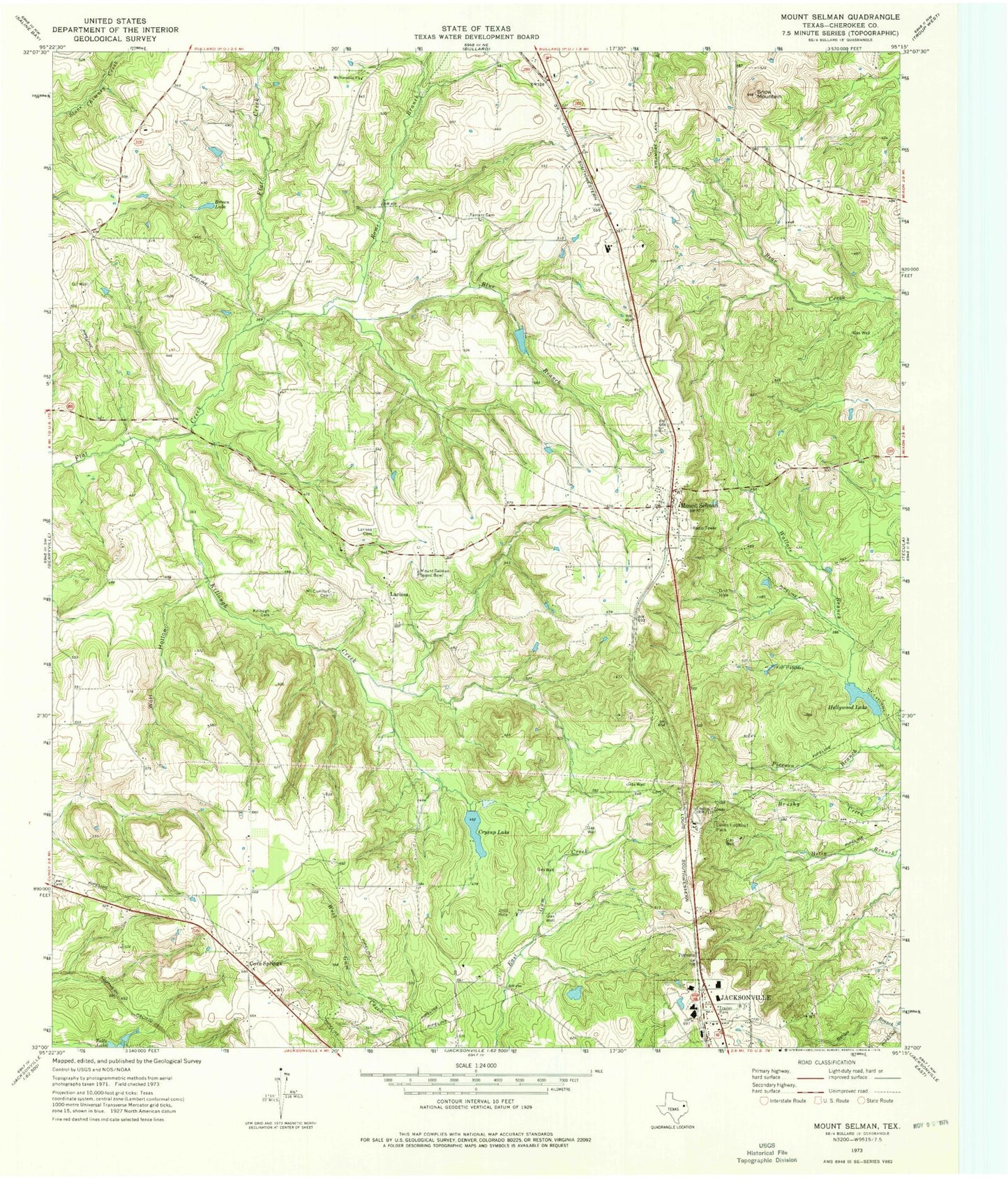
Classic USGS Mount Selman Texas 7.5'x7.5' Topo Map
Couldn't load pickup availability
Historical USGS topographic quad map of Mount Selman in the state of Texas. Typical map scale is 1:24,000, but may vary for certain years, if available. Print size: 24" x 27"
This quadrangle is in the following counties: Cherokee.
The map contains contour lines, roads, rivers, towns, and lakes. Printed on high-quality waterproof paper with UV fade-resistant inks, and shipped rolled.
Contains the following named places: Blue Branch, Brown Lake, Crysup Lake, Hollywood Lake, Killough Cemetery, Killough Creek, Larissa Cemetery, Loves Lookout Park, Mount Comfort Cemetery, Mount Nevelton Church, Mount Selman, Pierson Branch, Rome Branch, Snow Mountain, Tarrant Cemetery, Wolf Hollow, Cove Springs, Larissa, Pomona, Mount Selman Speed Bowl, KOOI-FM (Jacksonville), KBJS-FM (Jacksonville), KETK-TV (Jacksonville), Tarrant Field, Hollywood Lake Dam, Crysup Lake Dam, Hall Lake Dam, Hall Lake, Mount Selman Division, Hunter Field


