MyTopo
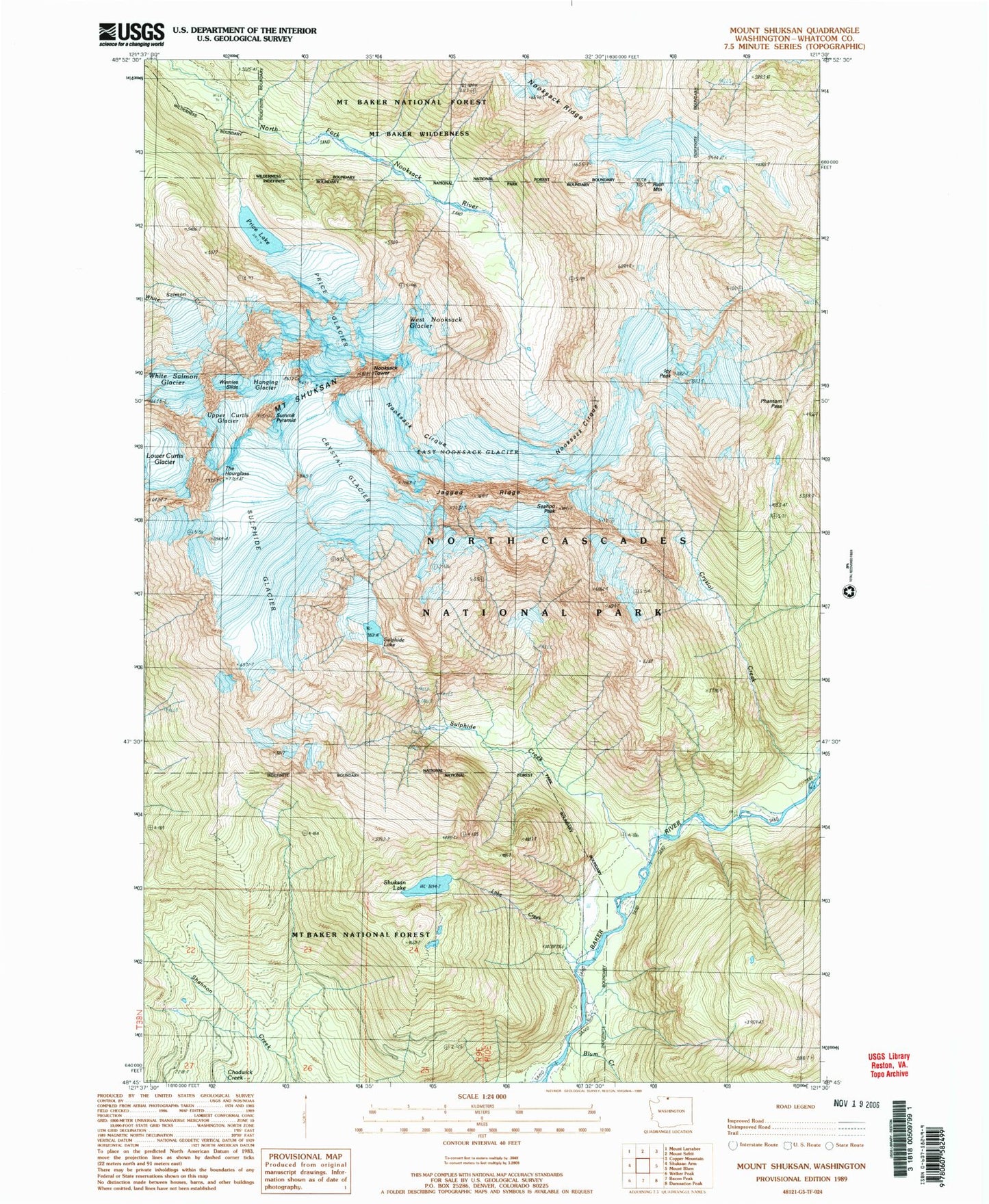
Classic USGS Mount Shuksan Washington 7.5'x7.5' Topo Map
Couldn't load pickup availability
Historical USGS topographic quad map of Mount Shuksan in the state of Washington. Typical map scale is 1:24,000, but may vary for certain years, if available. Print size: 24" x 27"
This quadrangle is in the following counties: Whatcom.
The map contains contour lines, roads, rivers, towns, and lakes. Printed on high-quality waterproof paper with UV fade-resistant inks, and shipped rolled.
Contains the following named places: Baker River, Blum Creek, Crystal Creek, Crystal Glacier, East Nooksack Glacier, Hanging Glacier, Icy Peak, Jagged Ridge, Lake Creek, Lower Curtis Glacier, Nooksack Tower, Phantom Pass, Price Glacier, Price Lake, Ruth Mountain, Seahpo Peak, Shuksan Lake, Mount Shuksan, Sulphide Creek, Sulphide Glacier, Sulphide Lake, Summit Pyramid, The Hourglass, Upper Curtis Glacier, West Nooksack Glacier, White Salmon Glacier, Winnies Slide, Nooksack Cirque


