MyTopo
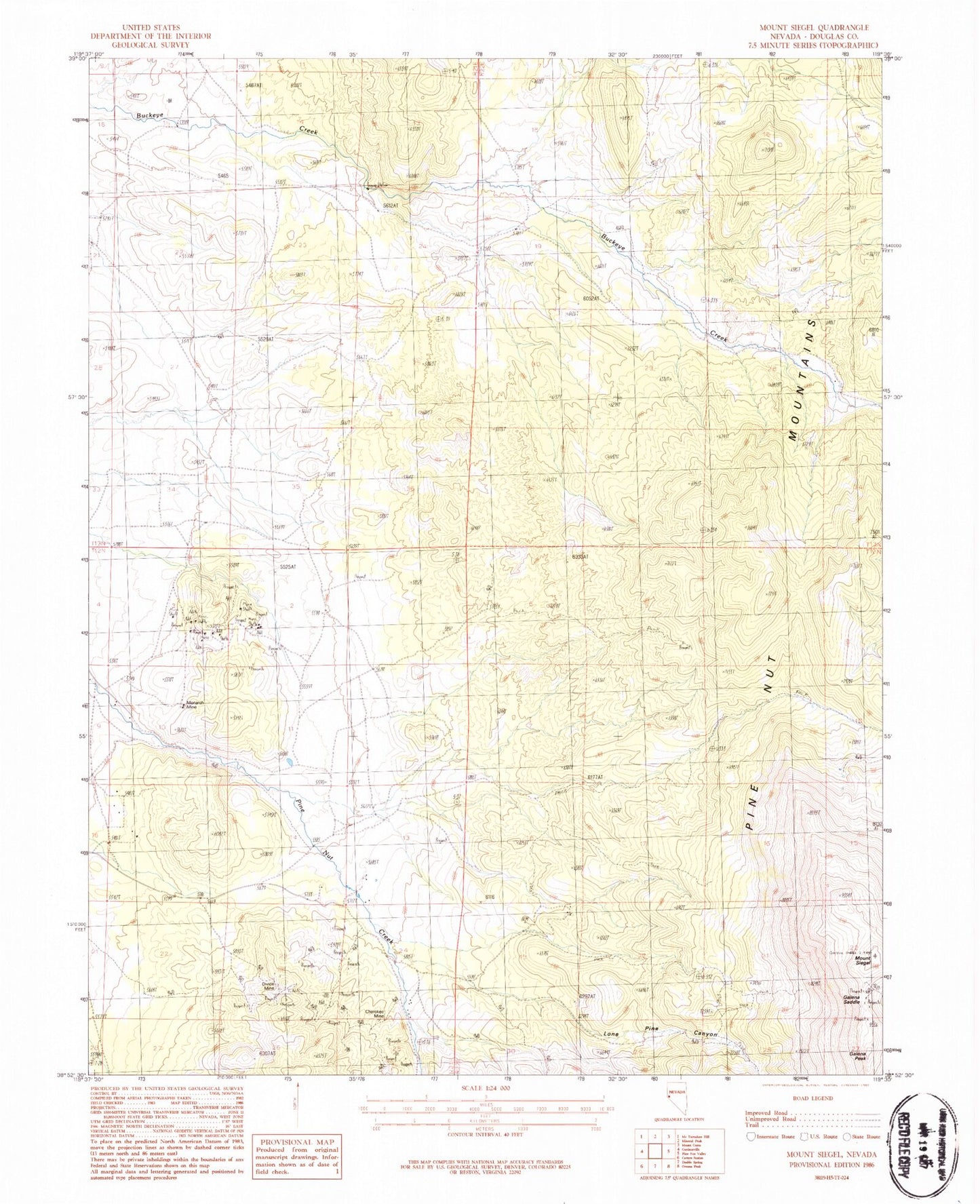
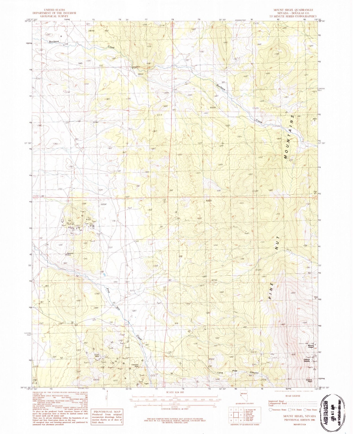
Classic USGS Mount Siegel Nevada 7.5'x7.5' Topo Map
Regular price
$16.95
Regular price
Sale price
$16.95
Unit price
per
Couldn't load pickup availability
Historical USGS topographic quad map of Mount Siegel in the state of Nevada. Typical map scale is 1:24,000, but may vary for certain years, if available. Print size: 24" x 27"
This quadrangle is in the following counties: Douglas.
The map contains contour lines, roads, rivers, towns, and lakes. Printed on high-quality waterproof paper with UV fade-resistant inks, and shipped rolled.
Contains the following named places: Cherokee Mine, Divide Mine, Dutch Canyon, Galena Peak, Galena Saddle, Lone Pine Canyon, Monarch Mine, Smith Ranch, Bill Johnsons Ranch, Pine Nut Ranch, Uhaldi Well, Last Laugh Mine, Tungsten Hills Mine, Gardnerville Mining District, Douglas County, Mount Siegel