MyTopo
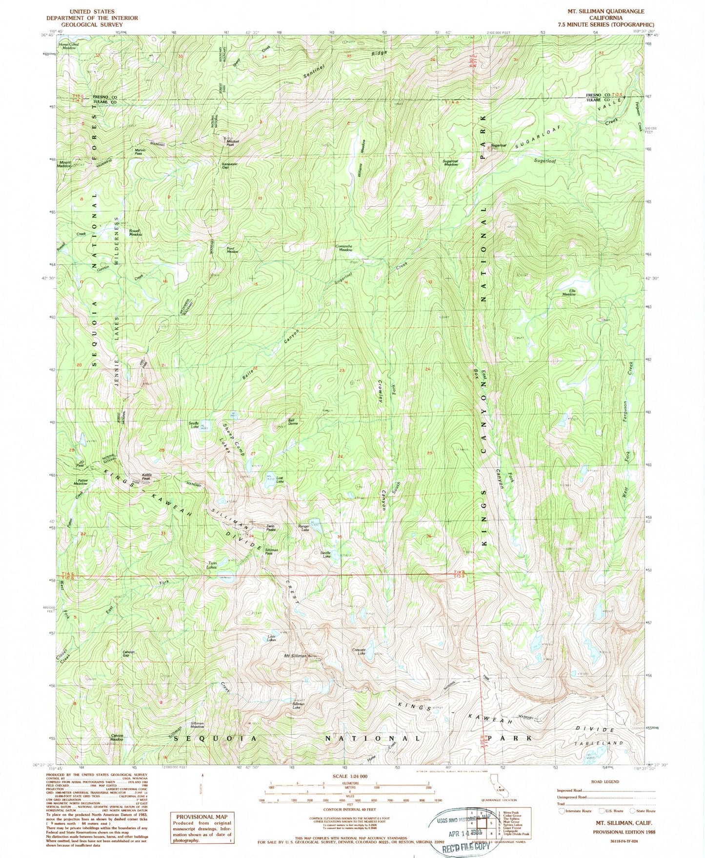
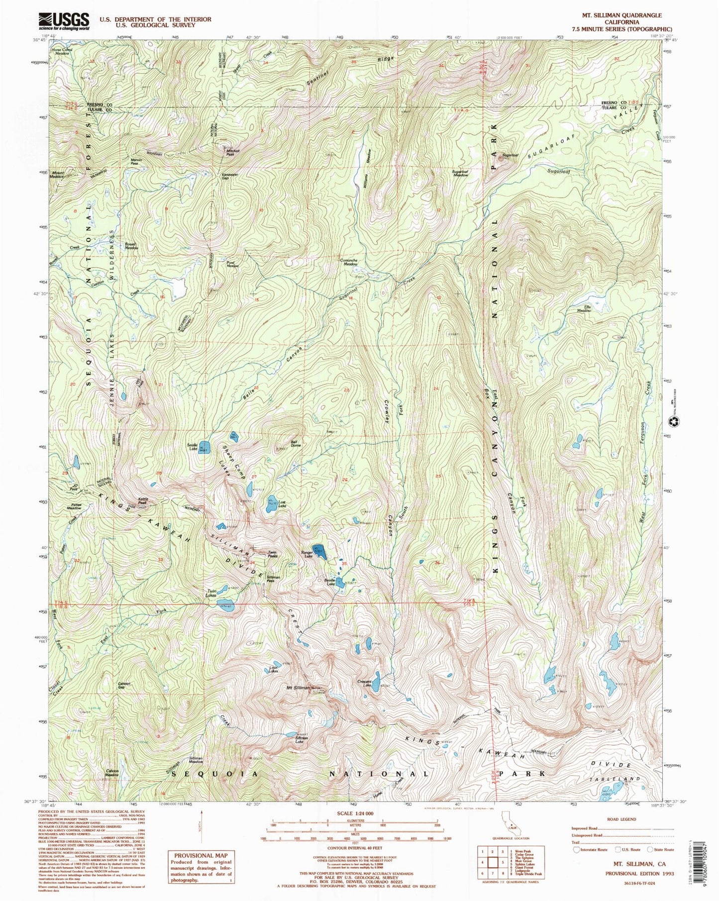
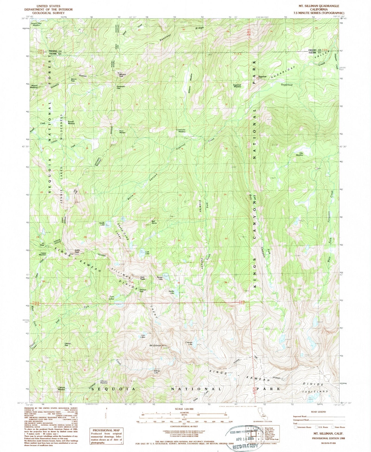
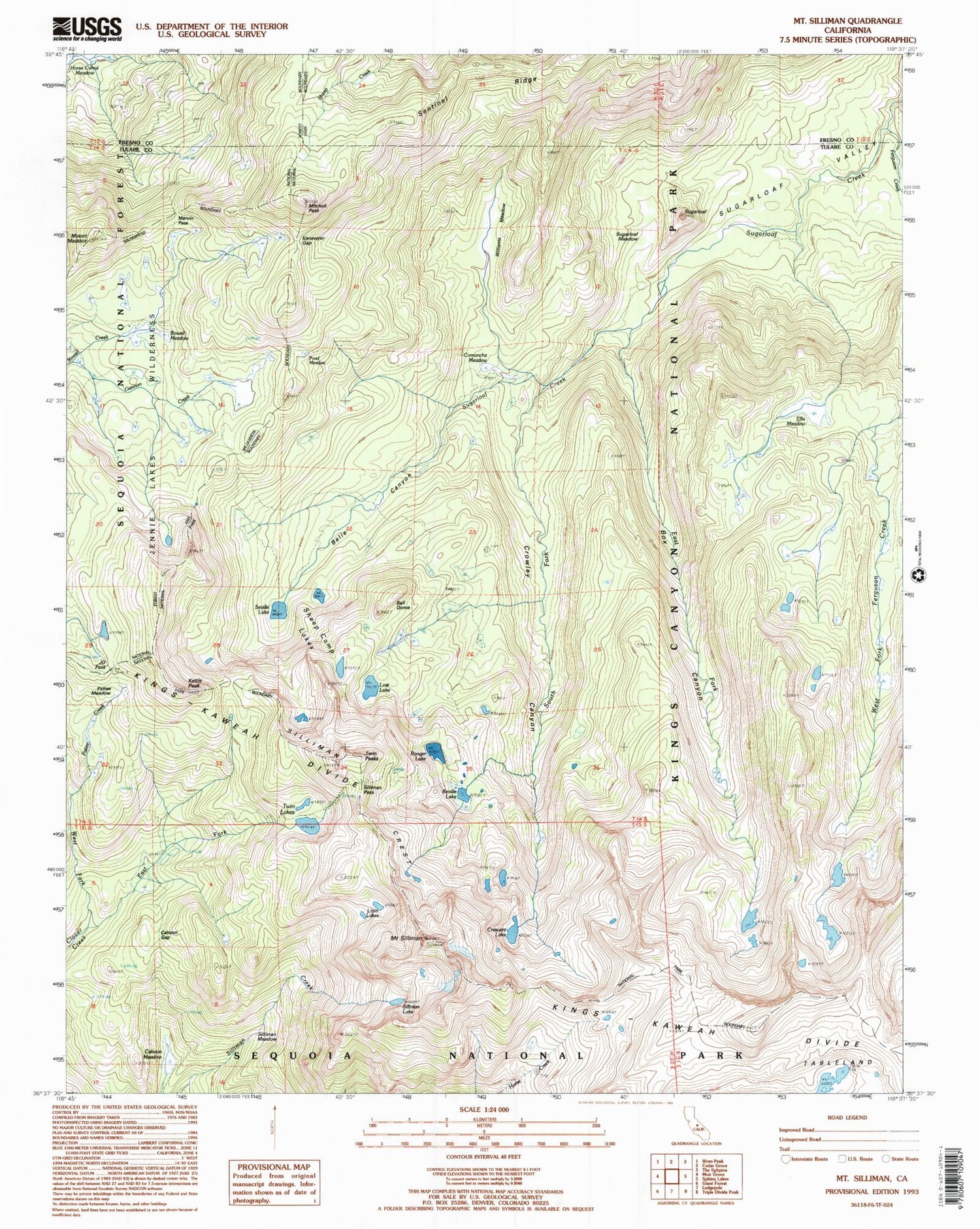
USGS Classic Mount Silliman California 7.5'x7.5' Topo Map
Couldn't load pickup availability
Historical USGS topographic quad map of Mount Silliman in the state of California. Scale: 1:24000. Print size: 24" x 27"
This quadrangle is in the following counties: Fresno, Tulare.
The map contains contour lines, roads, rivers, towns, lakes, and grids including latitude / longitude and UTM / MGRS. Printed on high-quality waterproof paper with UV fade-resistant inks.
Contains the following named places: Little Lake, Twin Lakes, Silliman Crest, Ball Dome, Beville Lake, Cahoon Gap, Comanche Meadow, Crescent Lake, East Fork Clover Creek, East Fork Sugarloaf Creek, Ellis Meadow, J.O. Pass, Kettle Peak, Little Lakes, Lost Lake, Marvin Pass, Mitchell Peak, Pond Meadow, Profile View, Ranger Lake, Rowell Meadow, Sentinel Ridge, Seville Lake, Silliman Lake, Silliman Meadow, Silliman Pass, Mount Silliman, Ferguson Creek, South Fork Sugarloaf Creek, Sugarloaf, Sugarloaf Meadow, Sugarloaf Valley, West Fork Clover Creek, Williams Meadow, Sheep Camp Lakes, Crowley Canyon, Box Canyon, Kanawyer Gap, Mount Maddox, Twin Peaks, Belle Canyon, Pattee Meadow


