MyTopo
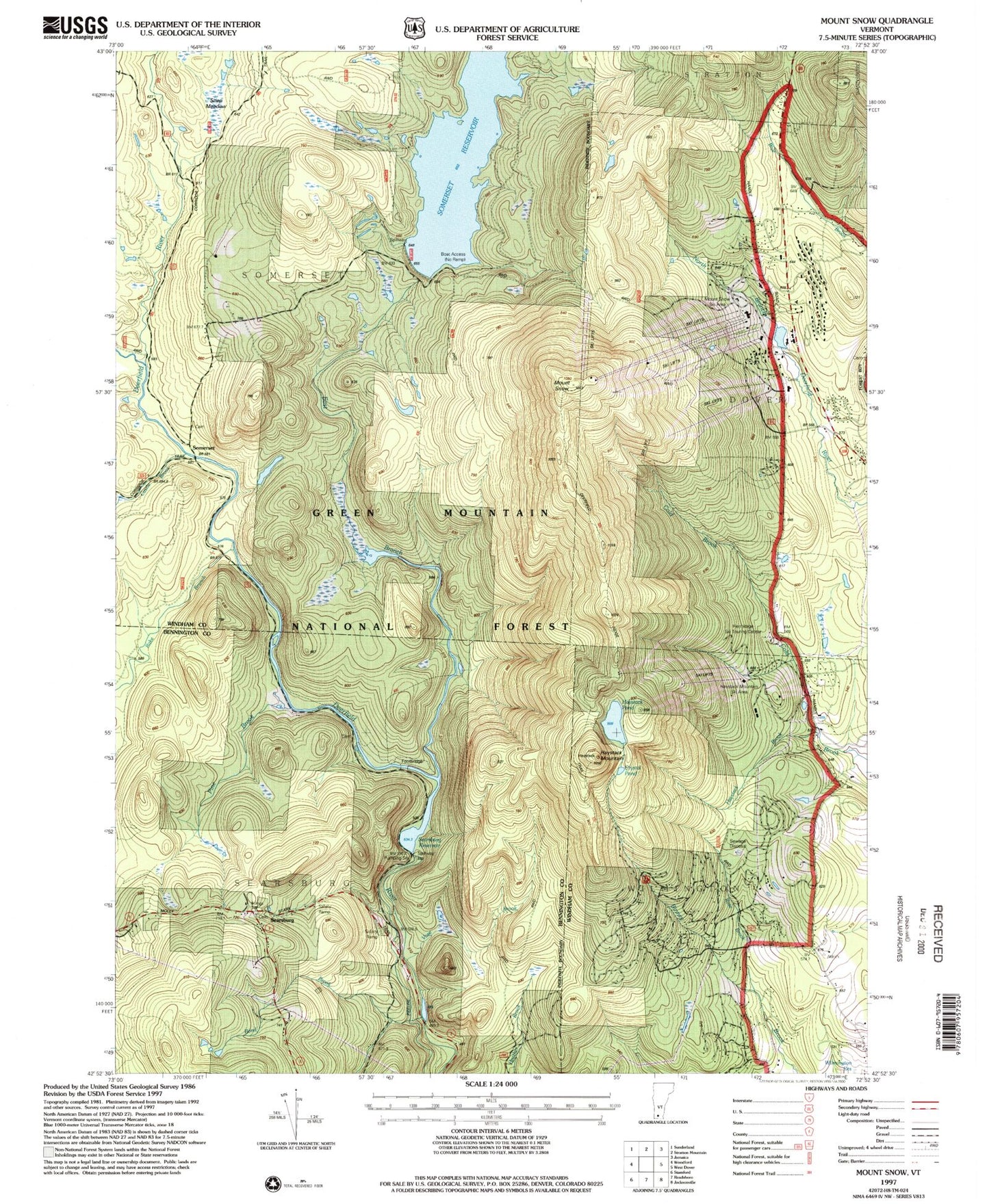
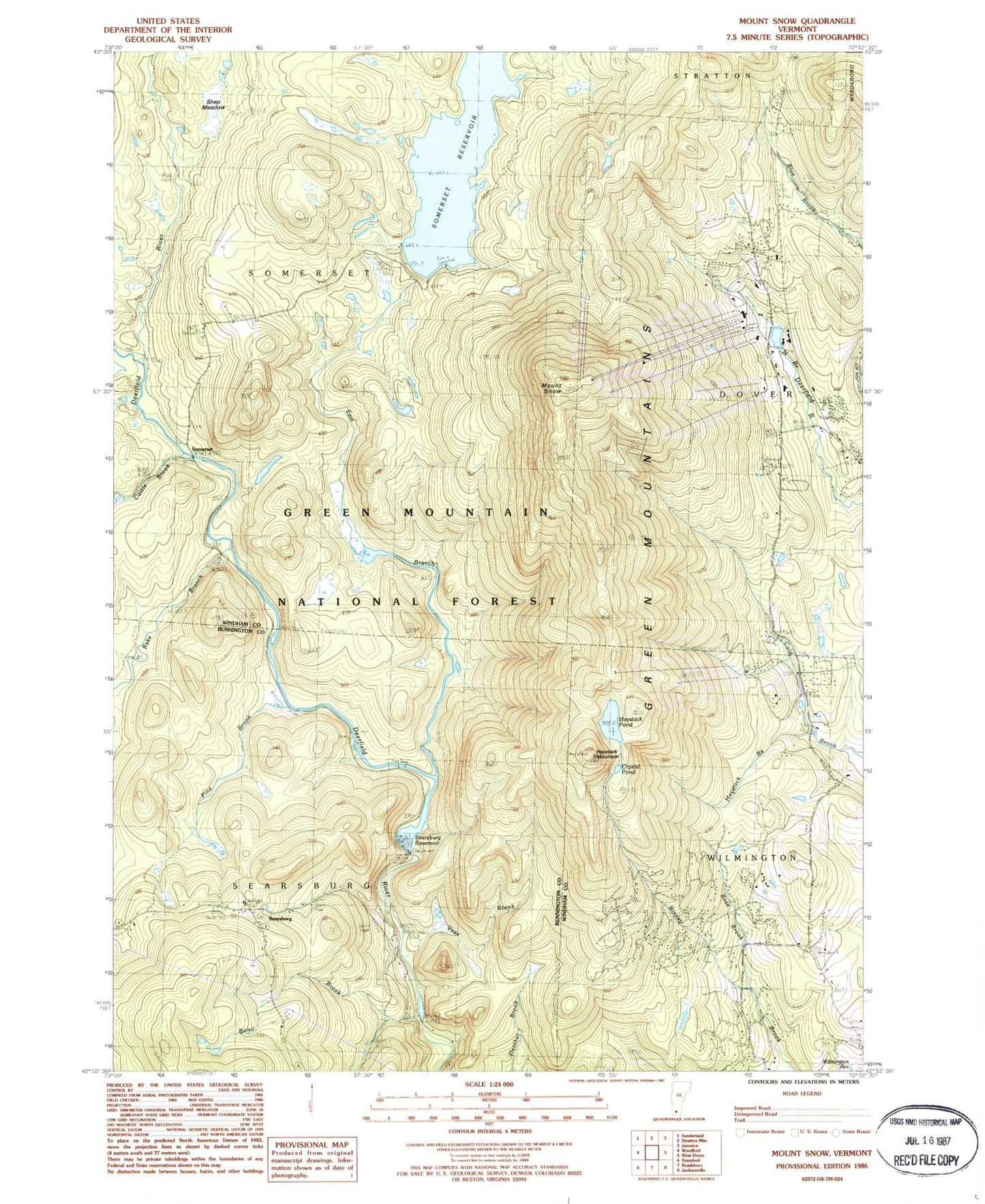
Classic USGS Mount Snow Vermont 7.5'x7.5' Topo Map
Couldn't load pickup availability
Historical USGS topographic quad map of Mount Snow in the state of Vermont. Typical map scale is 1:24,000, but may vary for certain years, if available. Print size: 24" x 27"
This quadrangle is in the following counties: Bennington, Windham.
The map contains contour lines, roads, rivers, towns, and lakes. Printed on high-quality waterproof paper with UV fade-resistant inks, and shipped rolled.
Contains the following named places: Bond Brook, Castle Brook, Cutler Cemetery, Eames Cemetery, East Branch Deerfield River, Glastenbury River, Haystack Brook, Haystack Mountain, Haystack Pond, Mountain View Cemetery, Pine Brook, Rake Branch, Rose Brook, Searsburg, Searsburg Reservoir, Shep Meadow, Sleepy Hollow, Snow Cemetery, Mount Snow, Somerset, Vose Brook, Wilmington Reservoir, Crystal Pond, Deerfield Ridge Trail, Haystack Mountain Ski Area, Mount Snow Ski Area, Carinthia Ski Area, WVAY-FM (Wilmington), Town of Searsburg, Town of Somerset, Somerset Dam, Searsburg Dam, Cutler Cemetery, Searsburg Town Hall, Alden Cemetery, Carinthia Ski Center, Haystack Golf and Country Club, Haystack Ski Center, Hermitage Touring Center, Mount Snow Conference Center, Mount Snow Ski Resort, Smead Hill Cemetery, Somerset Cemetery, Timber Creek Ski Resort, Mount Snow Academy, Chimney Hill, Chimney Hill Census Designated Place