MyTopo
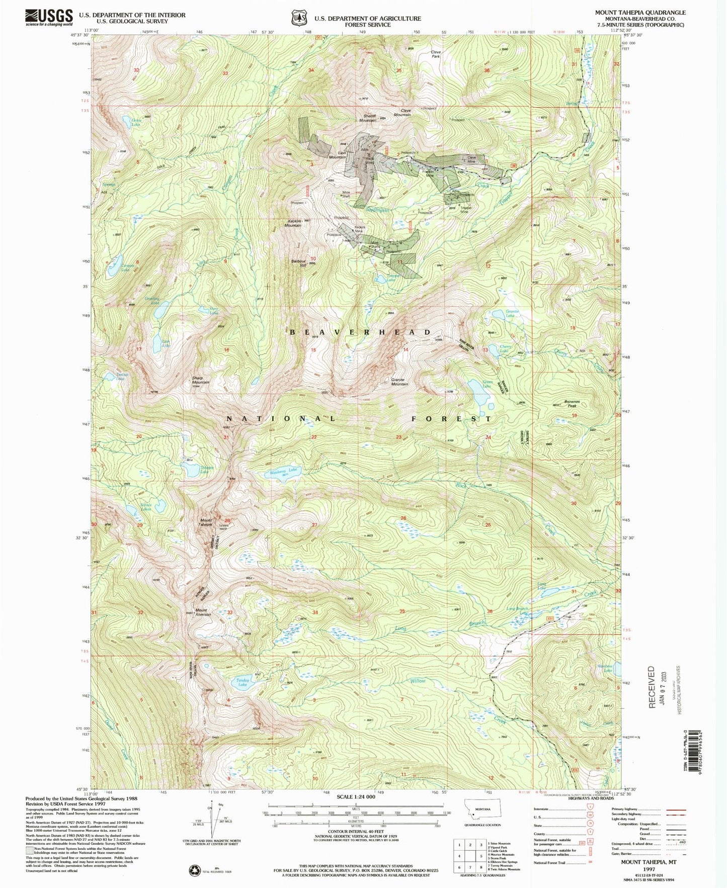
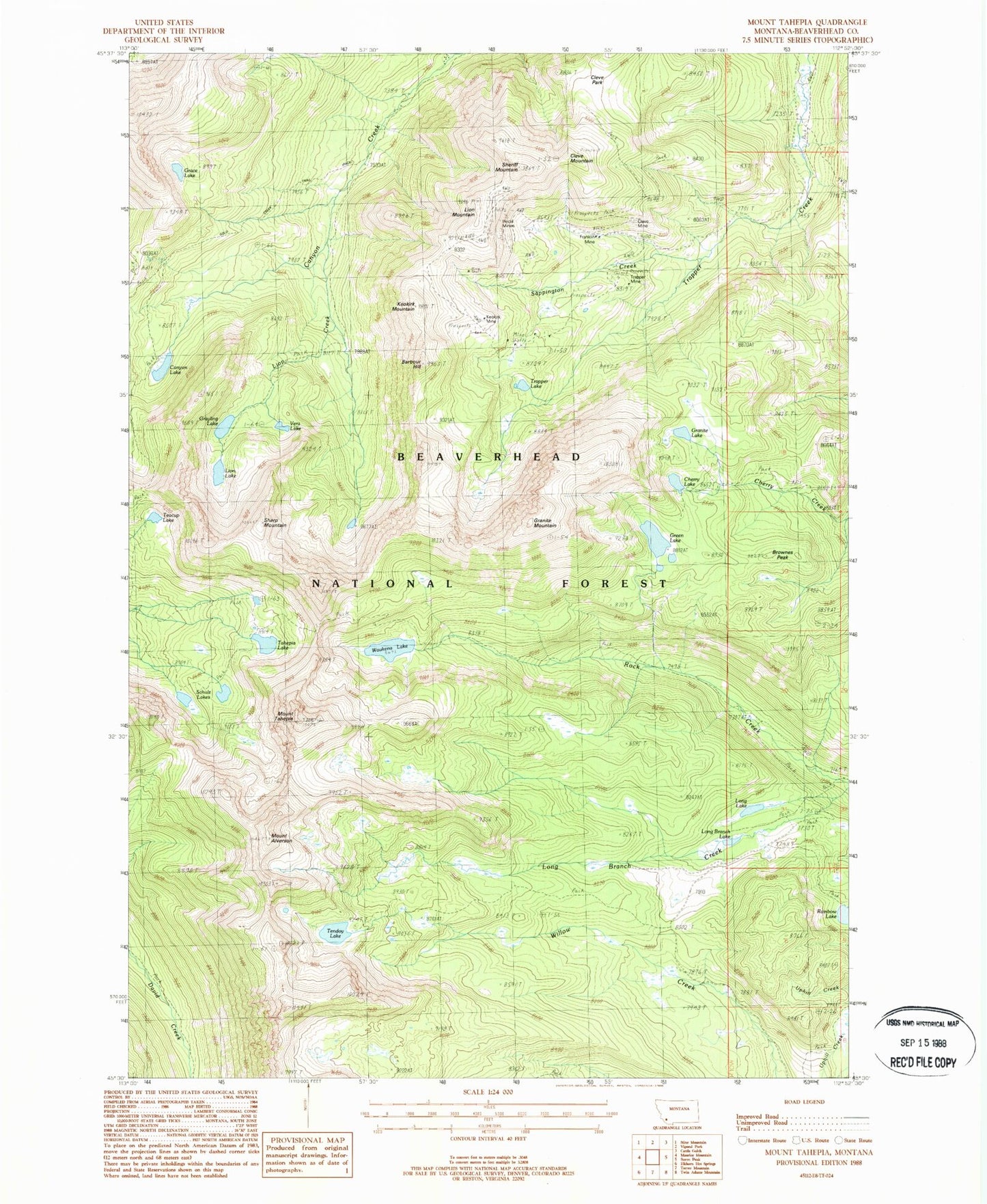
Classic USGS Mount Tahepia Montana 7.5'x7.5' Topo Map
Couldn't load pickup availability
Historical USGS topographic quad map of Mount Tahepia in the state of Montana. Typical map scale is 1:24,000, but may vary for certain years, if available. Print size: 24" x 27"
This quadrangle is in the following counties: Beaverhead.
The map contains contour lines, roads, rivers, towns, and lakes. Printed on high-quality waterproof paper with UV fade-resistant inks, and shipped rolled.
Contains the following named places: Grace Lake, Barbour Hill, Brownes Peak, Canyon Lake, Cherry Lake, Cleve Mine, Cleve Mountain, Cleve Park, Franklin Mine, Gold Creek Trail, Granite Lake, Granite Mountain, Grayling Lake, Green Lake, Hecla Mines, Keokirk Mine, Keokirk Mountain, Lion Creek, Lion Lake, Lion Mountain, Long Branch, Long Branch Lake, Long Lake, Rainbow Lake, Mount Alverson, Sappington Creek, Schulz Lakes, Sharp Mountain, Sheriff Mountain, Tahepia Lake, Mount Tahepia, Teacup Lake, Tendoy Lake, Trapper Lake, Trapper Mine, Vera Lake, Waukena Lake, Canyon Creek Recreation Site, Waukena Lake Dam, Waukena Lake, Canyon Creek Guest Ranch, Silver King Mine, Minnie-Gaffney Mine, True Blue Mine, Cleopatra Mine, Lower Cleve Mine, Trapper Mine, Elm - Orlu Mine, SW Section 11 Mine, Keokirk Mine, SE Section 3 Mine, Hecla Post Office (historical), Hecla School (historical), Hecla (historical), Lion City (historical)


