MyTopo
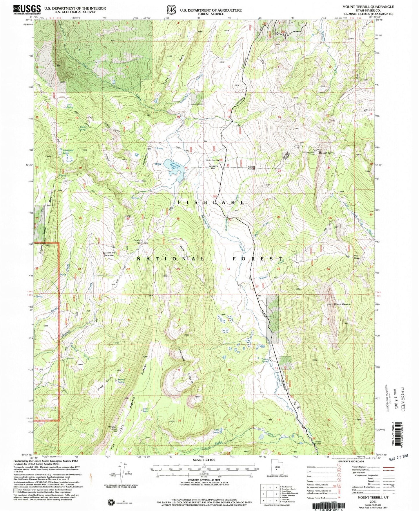
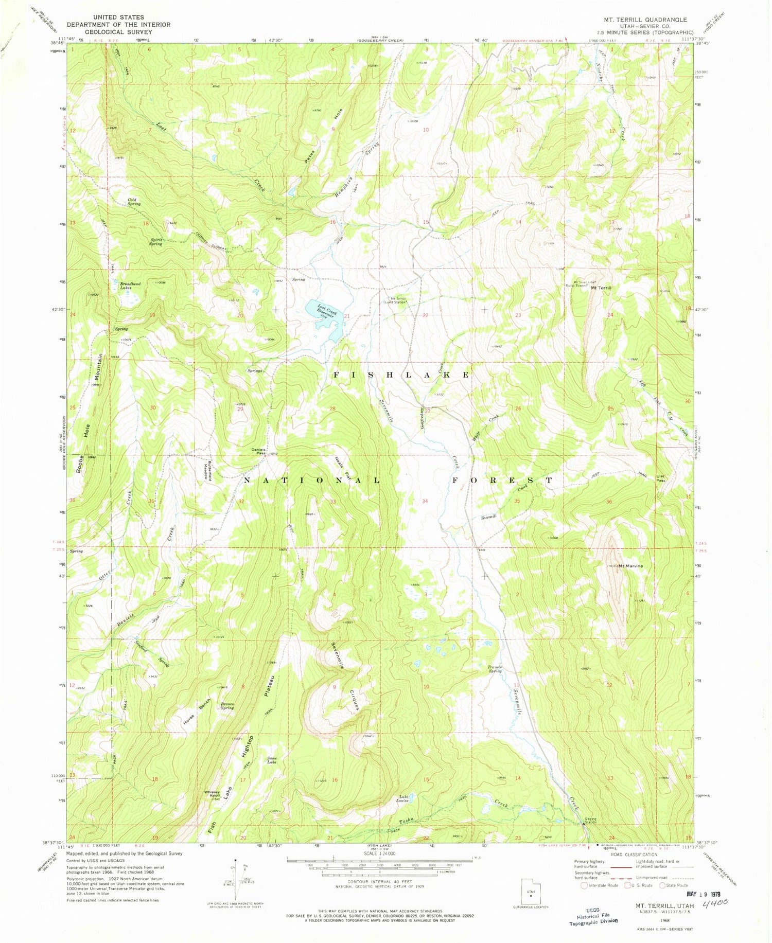
Classic USGS Mount Terrill Utah 7.5'x7.5' Topo Map
Couldn't load pickup availability
Historical USGS topographic quad map of Mount Terrill in the state of Utah. Typical map scale is 1:24,000, but may vary for certain years, if available. Print size: 24" x 27"
This quadrangle is in the following counties: Sevier.
The map contains contour lines, roads, rivers, towns, and lakes. Printed on high-quality waterproof paper with UV fade-resistant inks, and shipped rolled.
Contains the following named places: Boobe Hole Mountain, Broadhead Lakes, Bronco Spring, Butterfield Meadow, Cold Spring, Daniels Pass, Gottfredsen Creek, Horse Bench, Humphrey Spring, Lake Louise, Mount Marvine, Mount Terrill Guard Station, Neals Flat, Petes Hole, Sanford Spring, Sawmill Creek, Sevenmile Cirques, Snow Lake, Spirit Spring, Tasha Creek, Mount Terrill, Travois Spring, U M Pass, Whiskey Knoll, White Creek, Lost Creek Reservoir, Lost Creek Dam, Richfield Division