MyTopo
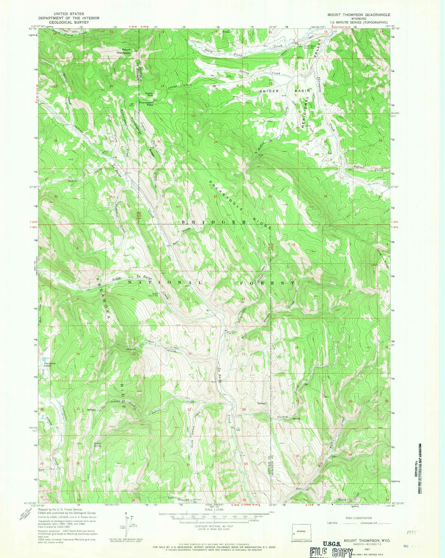
Classic USGS Mount Thompson Wyoming 7.5'x7.5' Topo Map
Couldn't load pickup availability
Historical USGS topographic quad map of Mount Thompson in the state of Wyoming. Typical map scale is 1:24,000, but may vary for certain years, if available. Print size: 24" x 27"
This quadrangle is in the following counties: Lincoln, Sublette.
The map contains contour lines, roads, rivers, towns, and lakes. Printed on high-quality waterproof paper with UV fade-resistant inks, and shipped rolled.
Contains the following named places: La Barge Creek, South La Barge Creek, Bald Hornet Creek, Cabin Creek, Coyote Park, Coyote Park Creek, Deadline Ridge, Deer Gulch, Emigrant Trail, Indian Creek, Indian Creek, Indian Spring, Little Indian Creek, Mack Creek, McKay Creek, Nameless Creek, Packsaddle Creek, Packsaddle Ridge, Pomeroy Creek, Porcupine Creek, Road Creek, Scaler Guard Station, Shafer Creek, Snyder Basin, Snyder Basin Guard Station, South Indian Creek, Spring Creek, Spring Creek, Thompson Pass, Mount Thompson, Turkey Creek, Twin Creek, Witherspoon Creek, Witherspoon Ridge, Meridonal Valley, Snyders Camp (historical)


