MyTopo
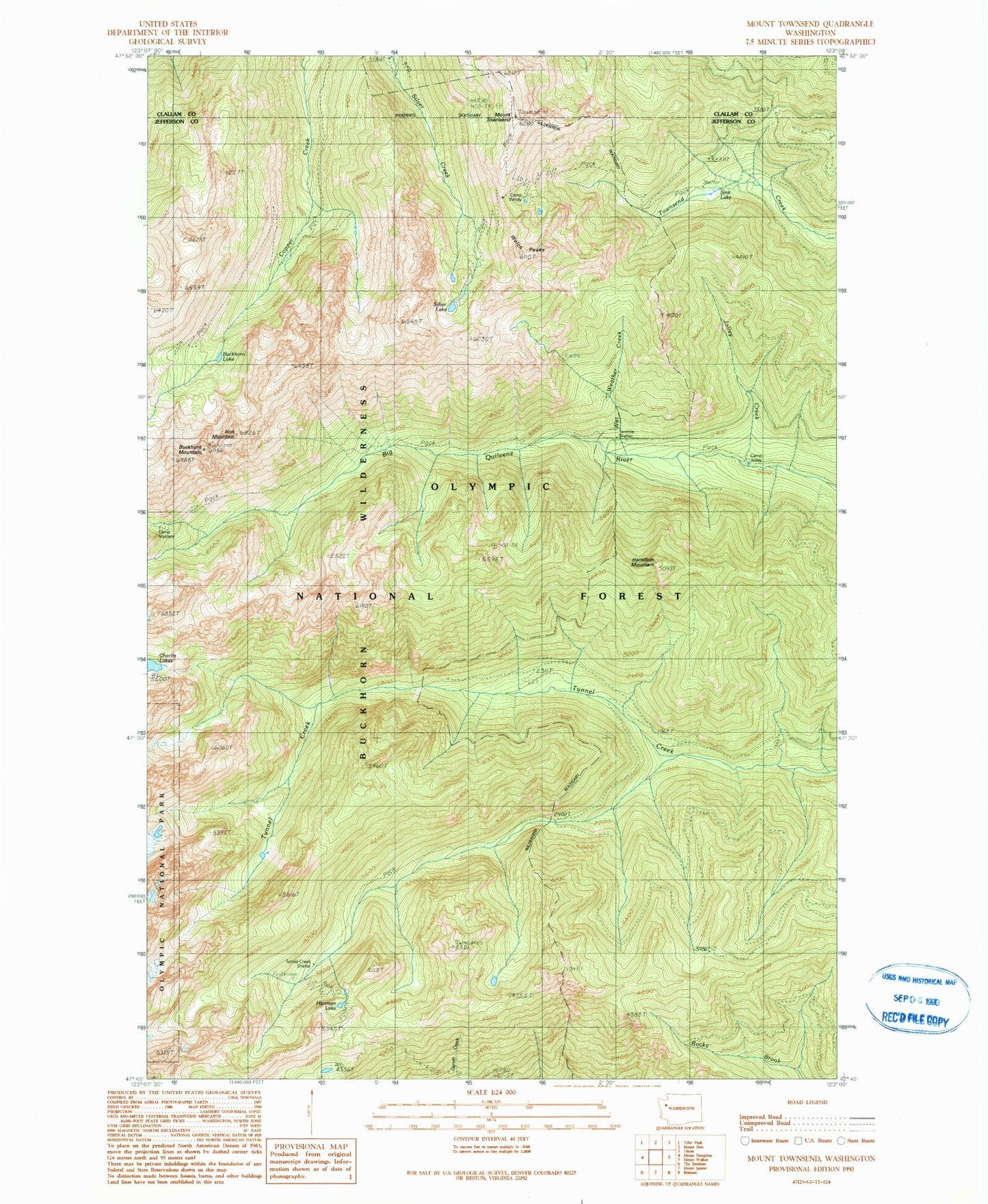
Classic USGS Mount Townsend Washington 7.5'x7.5' Topo Map
Couldn't load pickup availability
Historical USGS topographic quad map of Mount Townsend in the state of Washington. Typical map scale is 1:24,000, but may vary for certain years, if available. Print size: 24" x 27"
This quadrangle is in the following counties: Clallam, Jefferson.
The map contains contour lines, roads, rivers, towns, and lakes. Printed on high-quality waterproof paper with UV fade-resistant inks, and shipped rolled.
Contains the following named places: Big Canyon Camp (historical), Buckhorn Lake, Buckhorn Mountain, Camp Jolley, Camp Mystery, Camp Windy, Harrison Lake, Iron Mountain, Jolley Creek, Silver Lake, Sink Lake, Tenmile Shelter, Mount Townsend, Tubal Cain Mine (historical), Tunnel Creek Shelter, Wet Weather Creek, Welch Peaks, Shelter Rock Camp, Hamilton Mountain, Tull Canyon, Quilcene Ranger District (historical), Mount Townsend Lookout, Copper City, Quilcene Bay-Brinnon Division