MyTopo
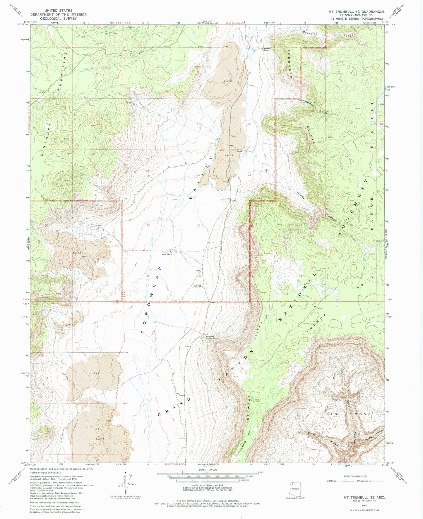
Classic USGS Mount Trumbull SE Arizona 7.5'x7.5' Topo Map
Regular price
$16.95
Regular price
Sale price
$16.95
Unit price
per
Couldn't load pickup availability
Historical USGS topographic quad map of Mount Trumbull SE in the state of Arizona. Map scale may vary for some years, but is generally around 1:24,000. Print size is approximately 24" x 27"
This quadrangle is in the following counties: Mohave.
The map contains contour lines, roads, rivers, towns, and lakes. Printed on high-quality waterproof paper with UV fade-resistant inks, and shipped rolled.
Contains the following named places: Big Cove, Big Point Canyon, Brady Canyon, Burro Canyon, Cunninghams Canyon, Kent Ranch, Paradise Canyon, Schmutz Ranch, Toroweap Cliffs, Toroweap Landing Strip, Toroweap Ranger Station, Tuckup Point, Tuweep Airport