MyTopo
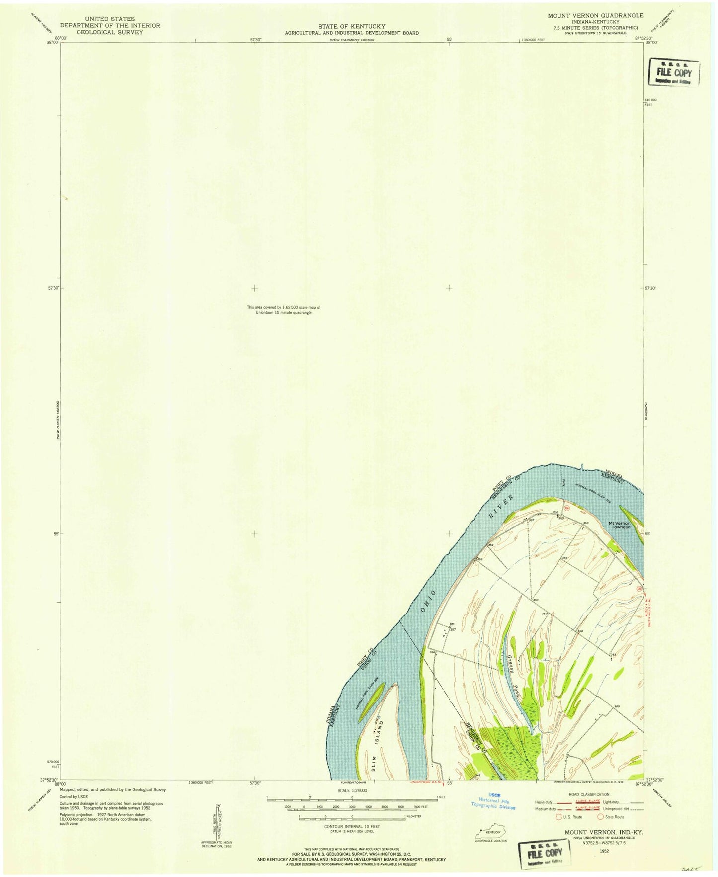
Classic USGS Mount Vernon Indiana 7.5'x7.5' Topo Map
Couldn't load pickup availability
Historical USGS topographic quad map of Mount Vernon in the states of Indiana, Kentucky. Map scale may vary for some years, but is generally around 1:24,000. Print size is approximately 24" x 27"
This quadrangle is in the following counties: Henderson, Posey, Union.
The map contains contour lines, roads, rivers, towns, and lakes. Printed on high-quality waterproof paper with UV fade-resistant inks, and shipped rolled.
Contains the following named places: Alldredge Cemetery, Beaverdam Creek, Bellefontaine Cemetery, Black Chapel, Black Township Fire and Rescue, Black Township Fire and Rescue Station 1, Blacks Cemetery, Brewery Hill, City of Mount Vernon, Dead Mans Crossing, Dunn Cemetery, Erwin, Farmersville, General Electric Plastics Emergency Response Team, Gill Cemetery, Grassy Pond, Grassy Slough, Hedges Central Elementary School, Hovey, Indian Creek, James Whitcomb Riley School, Jeffries School, Lawrence School, McFadden Creek, Moore Cemetery, Mount Vernon, Mount Vernon Fire Department, Mount Vernon Municipal Airport, Mount Vernon Police Department, Mount Vernon Post Office, Parrish Airport, Pfister Pond, Pitcher Creek, Posey County Emergency Medical Services, Posey County Emergency Services Facility, Posey County Jail and Sheriff's Office, Prairie, Saint Matthews Cemetery, Smith Creek, Towhead Island, Township of Black, Upton, Weiss Cemetery, Welborn Church, West Central Elementary School, Whipple Ditch, WPCO-AM (Mount Vernon), Zoar Church, ZIP Code: 47620