MyTopo
Classic USGS Mount Waas Utah 7.5'x7.5' Topo Map
Couldn't load pickup availability
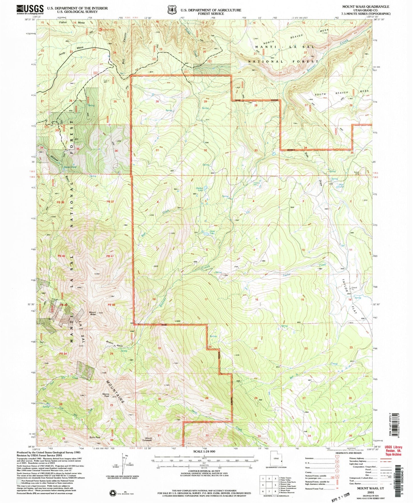
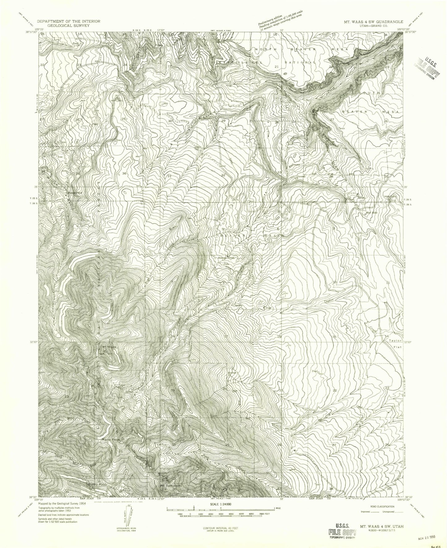
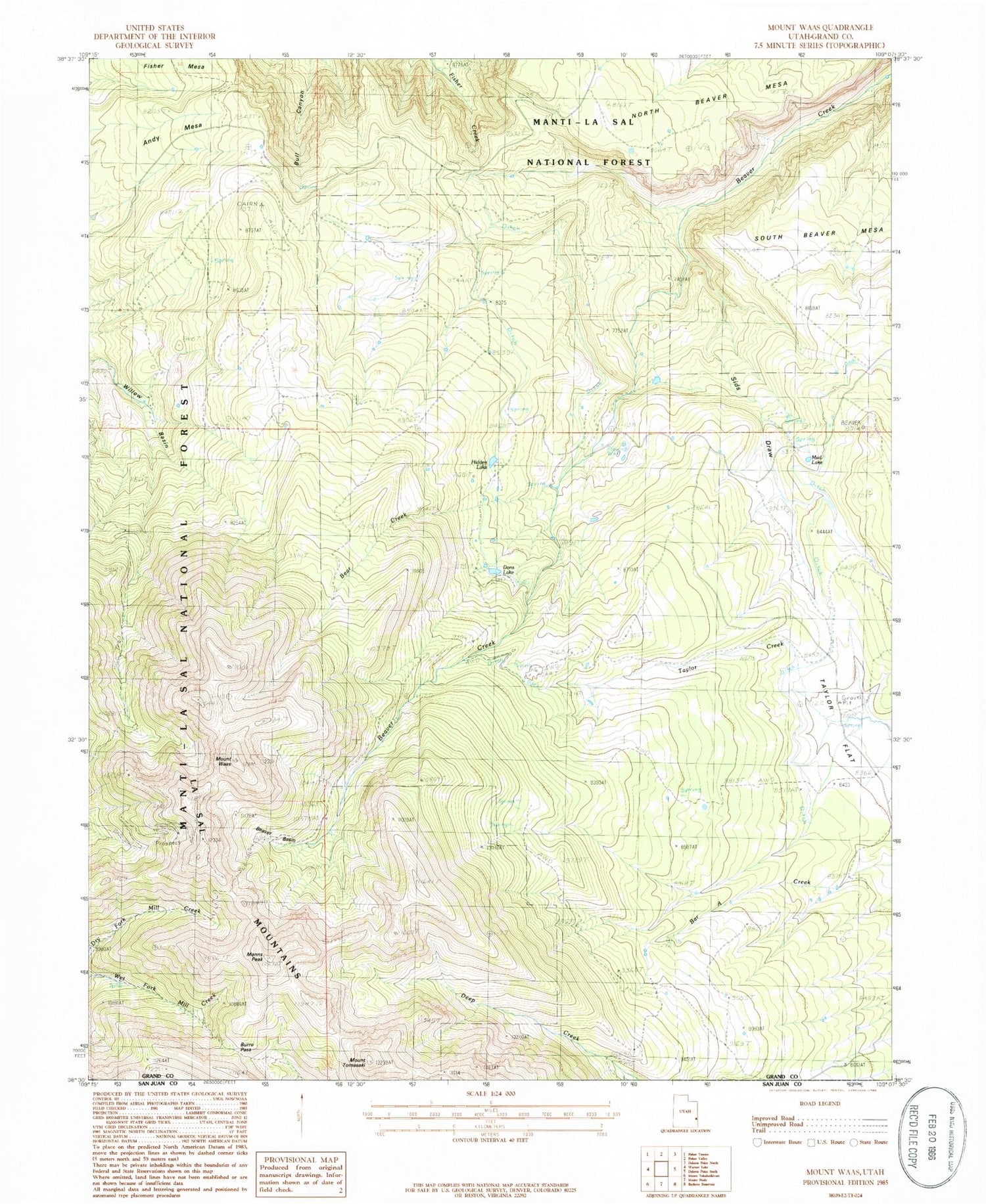
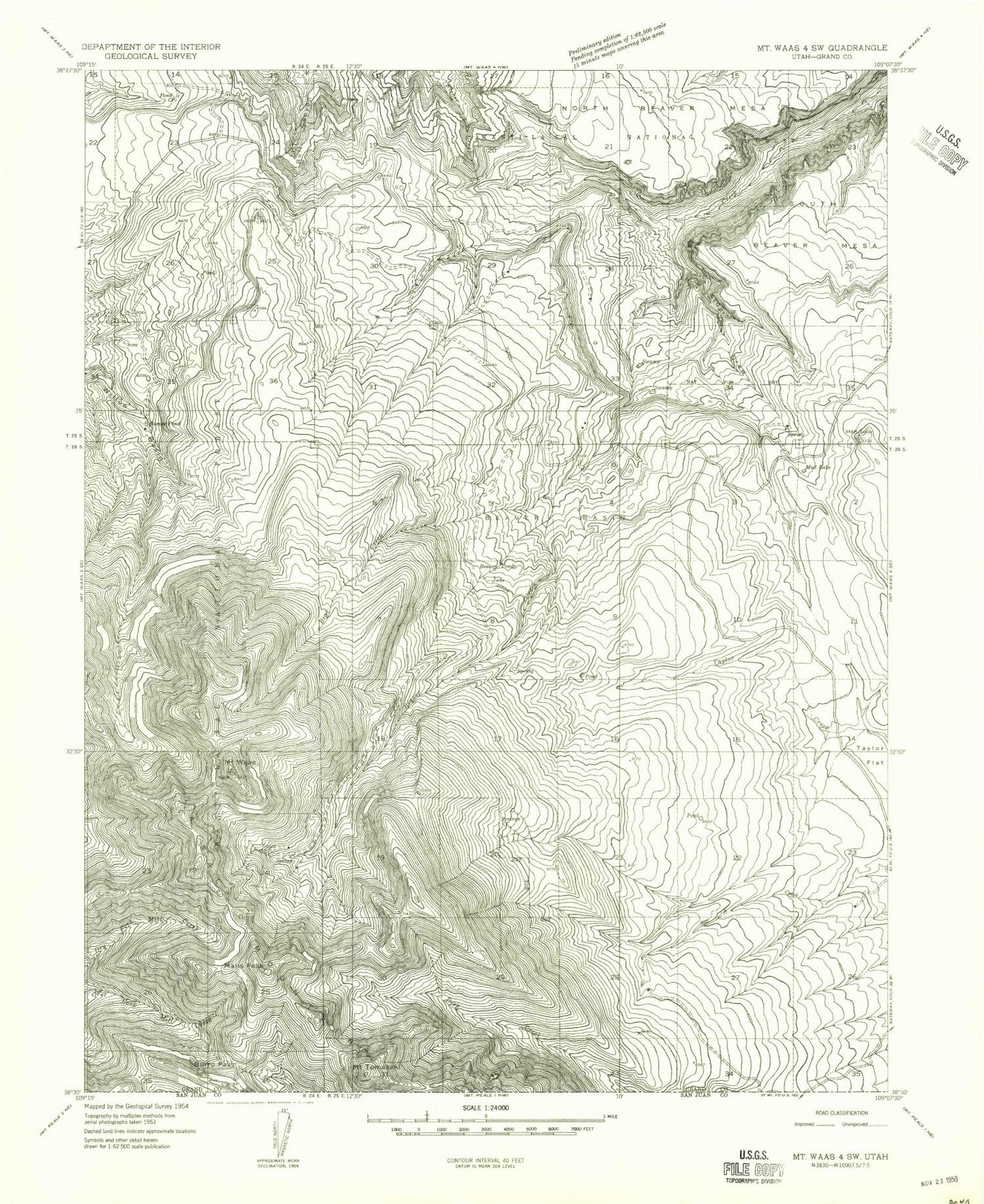
Historical USGS topographic quad map of Mount Waas in the state of Utah. Typical map scale is 1:24,000, but may vary for certain years, if available. Print size: 24" x 27"
This quadrangle is in the following counties: Grand.
The map contains contour lines, roads, rivers, towns, and lakes. Printed on high-quality waterproof paper with UV fade-resistant inks, and shipped rolled.
Contains the following named places: Beaver Basin, Burro Pass, Fisher Mesa, Mud Lake, Sids Draw, Taylor Flat, Mount Tomasaki, Mount Waas, Willow Basin, Andy Mesa, Bachelor Basin, Bear Creek, La Sal Peak, Beaver Ponds, Beaver Pond, Dons Lake, Hidden Lake, Manns Peak, Andy Swenson Gravesite, Beaver Basin, Burro Pass, Fisher Mesa, Mud Lake, Sids Draw, Taylor Flat, Mount Tomasaki, Mount Waas, Willow Basin, Andy Mesa, Bachelor Basin, Bear Creek, La Sal Peak, Beaver Ponds, Beaver Pond, Dons Lake, Hidden Lake, Manns Peak, Andy Swenson Gravesite