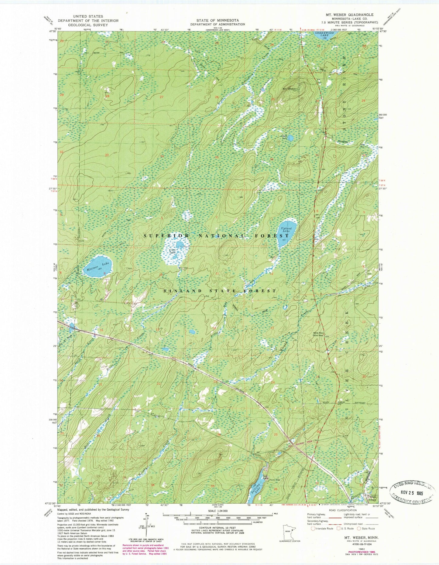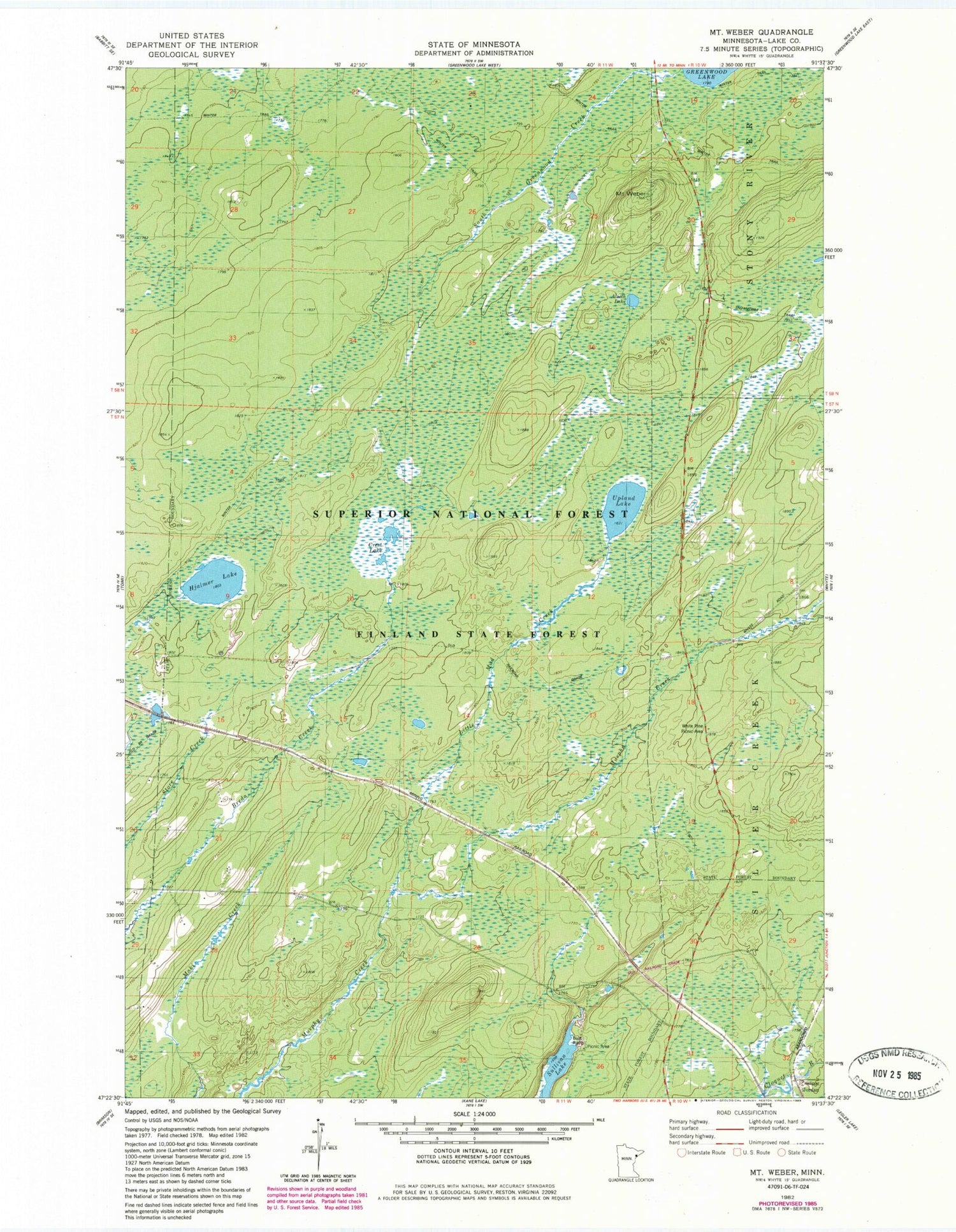
MyTopo
Classic USGS Mount Weber Minnesota 7.5'x7.5' Topo Map
Regular price
$16.95
Regular price
Sale price
$16.95
Unit price
per
Couldn't load pickup availability
Historical USGS topographic quad map of Mount Weber in the state of Minnesota. Map scale may vary for some years, but is generally around 1:24,000. Print size is approximately 24" x 27"
This quadrangle is in the following counties: Lake.
The map contains contour lines, roads, rivers, towns, and lakes. Printed on high-quality waterproof paper with UV fade-resistant inks, and shipped rolled.
Contains the following named places: Alseth Lake, Crest Lake, Hjalmer Lake, Jordan, Little Mud Creek, Mount Weber, South Greenwood Creek, Sullivan Lake, Upland Lake, White Pine Picnic Area