
MyTopo
Classic USGS Mount Wickham Minnesota 7.5'x7.5' Topo Map
Regular price
$16.95
Regular price
Sale price
$16.95
Unit price
per
Couldn't load pickup availability
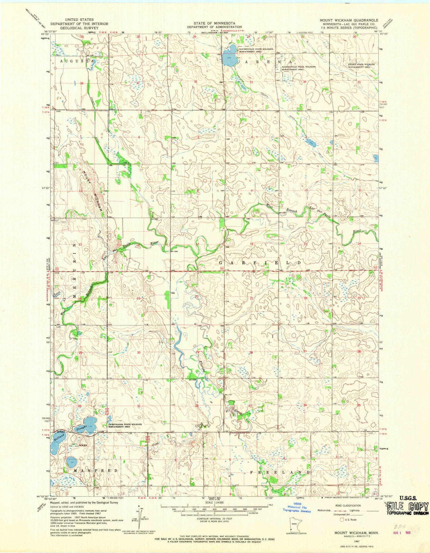
Historical USGS topographic quad map of Mount Wickham in the state of Minnesota. Map scale may vary for some years, but is generally around 1:24,000. Print size is approximately 24" x 27"
This quadrangle is in the following counties: Lac qui Parle.
The map contains contour lines, roads, rivers, towns, and lakes. Printed on high-quality waterproof paper with UV fade-resistant inks, and shipped rolled.
Contains the following named places: Bolland Slough, Cobb Creek, County Ditch Number Seventeen, Florida Creek, Haydenville State Wildlife Management Area, Kemen State Wildlife Management Area, Lost Creek, Mount Wickham, Sjolie Lutheran Cemetery, Sweetwater State Wildlife Management Area, Township of Garfield


