MyTopo
Classic USGS Mount Worcester Vermont 7.5'x7.5' Topo Map
Couldn't load pickup availability
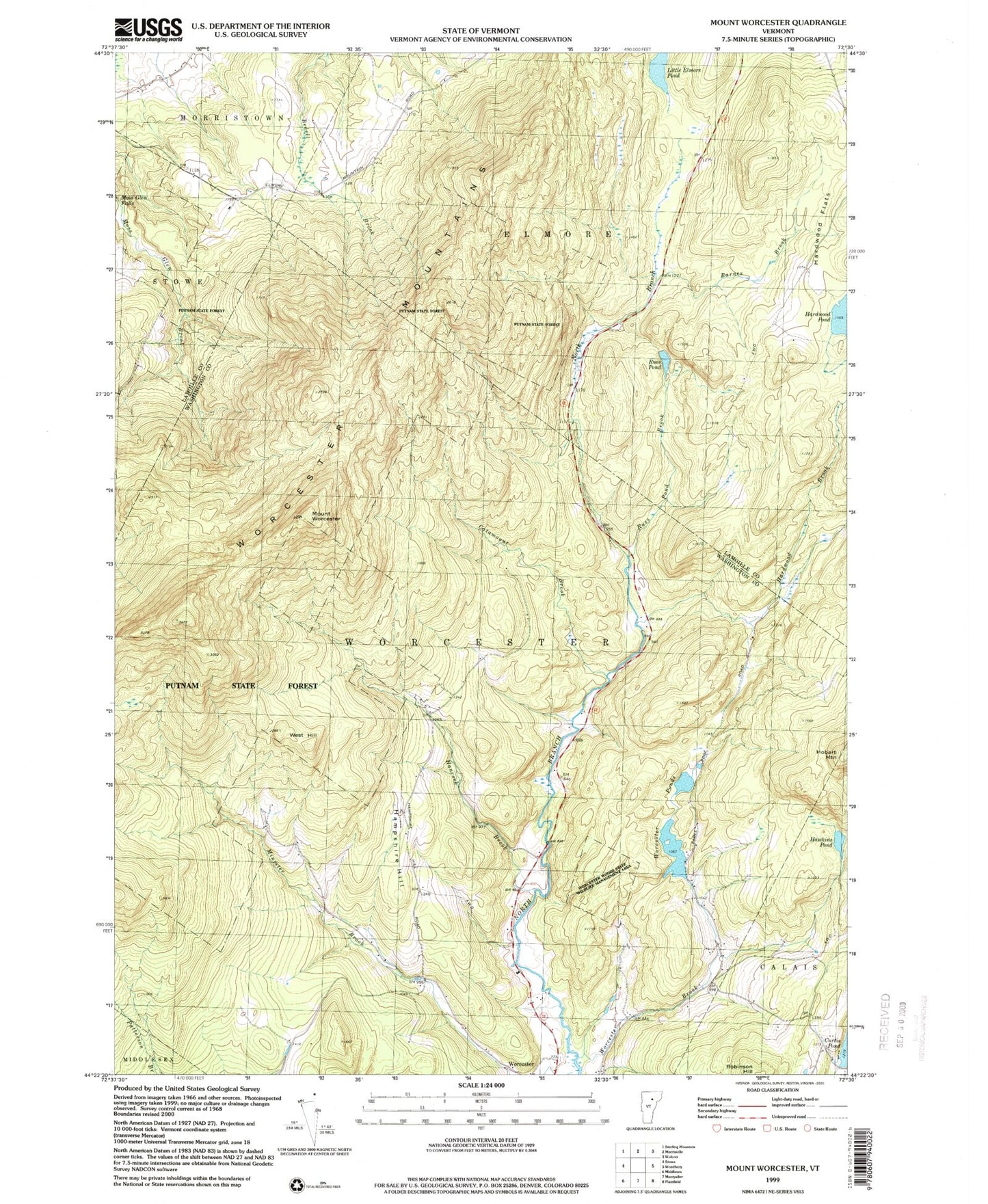
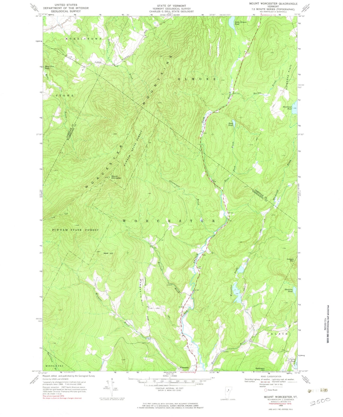
Historical USGS topographic quad map of Mount Worcester in the state of Vermont. Typical map scale is 1:24,000, but may vary for certain years, if available. Print size: 24" x 27"
This quadrangle is in the following counties: Lamoille, Washington.
The map contains contour lines, roads, rivers, towns, and lakes. Printed on high-quality waterproof paper with UV fade-resistant inks, and shipped rolled.
Contains the following named places: Barnes Brook, Catamount Brook, Hampshire Hill, Hancock Brook, Hardwood Brook, Hardwood Flats, Hawkins Pond, Little Elmore Pond, Minister Brook, Moss Glen Falls, Mount Worcester, Putnam State Forest, Russ Pond, Russ Pond Brook, West Hill, Worcester Brook, Worcester Mountains, Worcester Ponds, Town of Elmore, Town of Worcester, Worcester Pond Lower Dam, Worcester Pond, Ladds Mill Dam, Mountain Cemetery, Village Cemetery