MyTopo
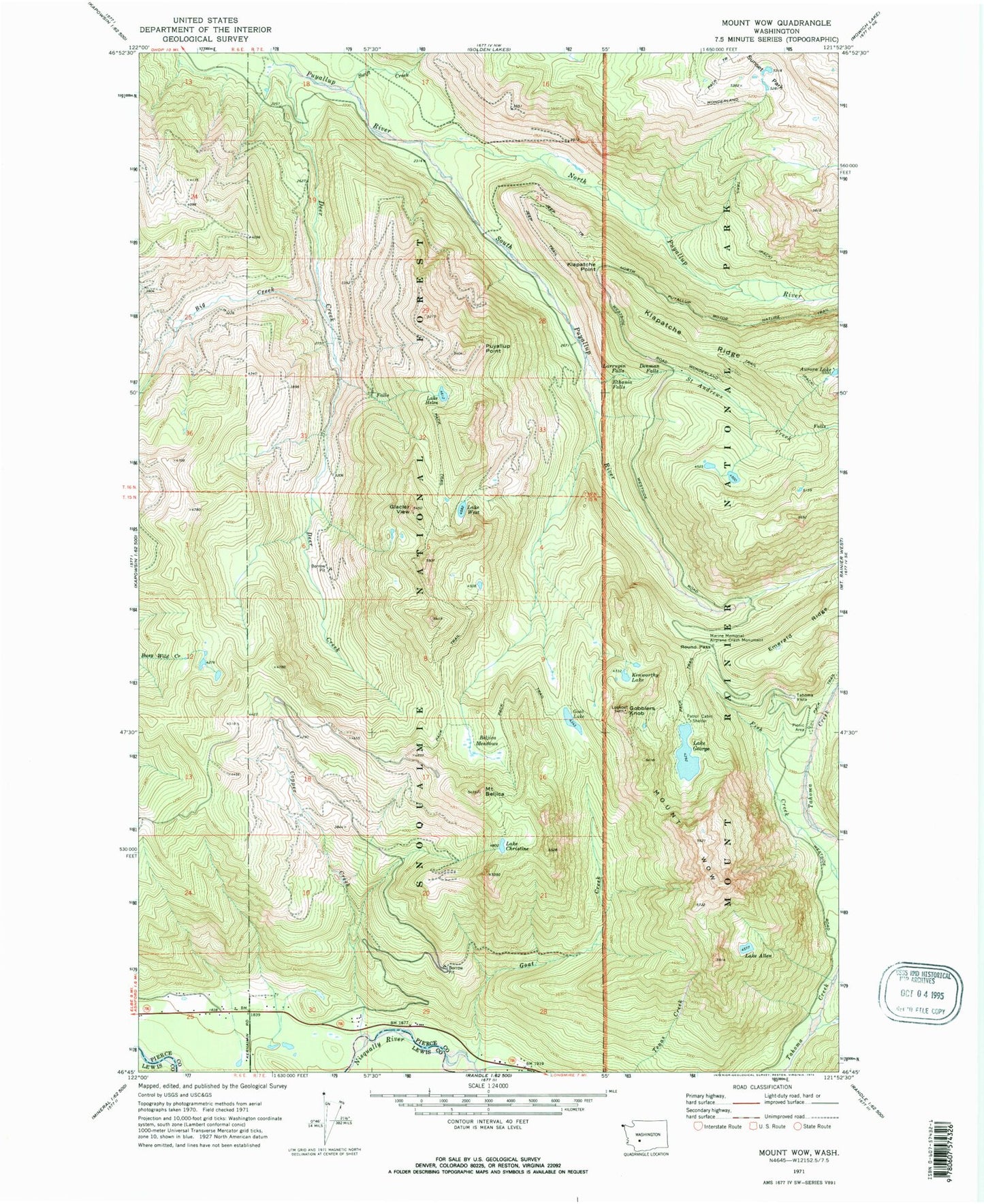
Classic USGS Mount Wow Washington 7.5'x7.5' Topo Map
Couldn't load pickup availability
Historical USGS topographic quad map of Mount Wow in the state of Washington. Typical map scale is 1:24,000, but may vary for certain years, if available. Print size: 24" x 27"
This quadrangle is in the following counties: Lewis, Pierce.
The map contains contour lines, roads, rivers, towns, and lakes. Printed on high-quality waterproof paper with UV fade-resistant inks, and shipped rolled.
Contains the following named places: Lake Allen, Aurora Lake, Beljica Meadows, Mount Beljica, Big Creek, Lake Christine, Copper Creek, Deer Creek, Denman Falls, Ethania Falls, Lake George, Glacier View, Goat Creek, Goat Lake, Gobblers Knob, Lake Helen, Kenworthy Lake, Klapatche Point, Klapatche Ridge, Larrupin Falls, Marine Memorial Airplane Crash Monument, North Puyallup River, Puyallup Point, Round Pass, Saint Andrews Creek, South Puyallup River, Swift Creek, Tahoma Vista, Lake West, Mount Wow, Glacier View Wilderness, Saddle Lake, Beljica Meadows Lake


