MyTopo
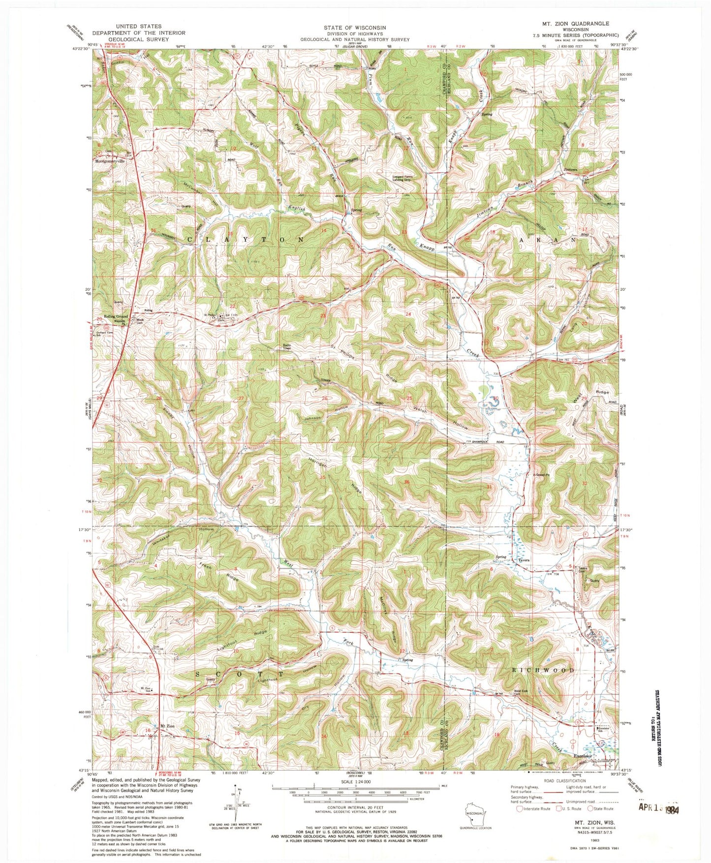
Classic USGS Mount Zion Wisconsin 7.5'x7.5' Topo Map
Couldn't load pickup availability
Historical USGS topographic quad map of Mount Zion in the state of Wisconsin. Map scale may vary for some years, but is generally around 1:24,000. Print size is approximately 24" x 27"
This quadrangle is in the following counties: Crawford, Richland.
The map contains contour lines, roads, rivers, towns, and lakes. Printed on high-quality waterproof paper with UV fade-resistant inks, and shipped rolled.
Contains the following named places: Beebe Hollow, Brady Stock Farm, Dry Hollow, Ellsworth Home Stock Farm, English Run, Excelsior, Excelsior School, Ferguson School, Fresh Ridge, Griffin Hollow, Grove Spring Farm, Heart Grove Farm, Hill Farm, Hillcrest Orchard, Horrigan Ridge, Jimtown, Jimtown Branch, Johnson Hollow, Leeward Farm Airport, Lightfoot Hollow, Lightfoot Ridge, Long Hollow, Lower West Fork School, McCumber Hollow, McDilley Ridge, Monk School, Montgomeryville, Montgomeryville Cemetery, Mook Cemetery, Mount Zion, Mount Zion School, Murphy School, O'Connor Branch, Orchard View School, Pigeon Run, Pleasant Ridge Farm, Plum Run, Plum Run School, Ridge View Farm, Rolling Ground, Running Brook Stock Farm, Saint Philips Church, Saint Philips Ridge, Saint Phillips Cemetery, Seward School, Sleepy Hollow, Tavera, Tavera Cemetery, Tiller School, Town of Clayton, Trout Brook Stock Farm, Turnmire Spring Farm, Union Hill Cemetery, Upper Knapp Creek School, Upper West Fork School, Welsh Hollow, West Fork Cemetery, West Fork Knapp Creek, Wheatville School, Whitaker Hollow, Wolf Run


