MyTopo
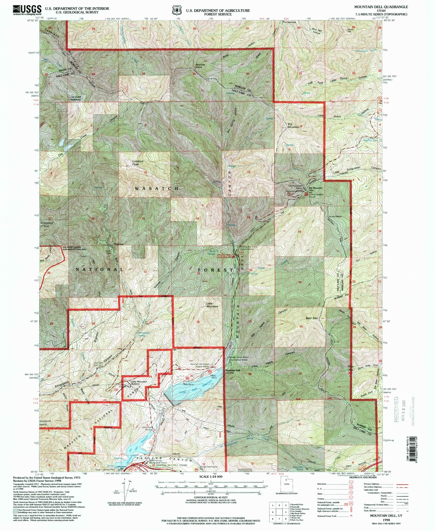
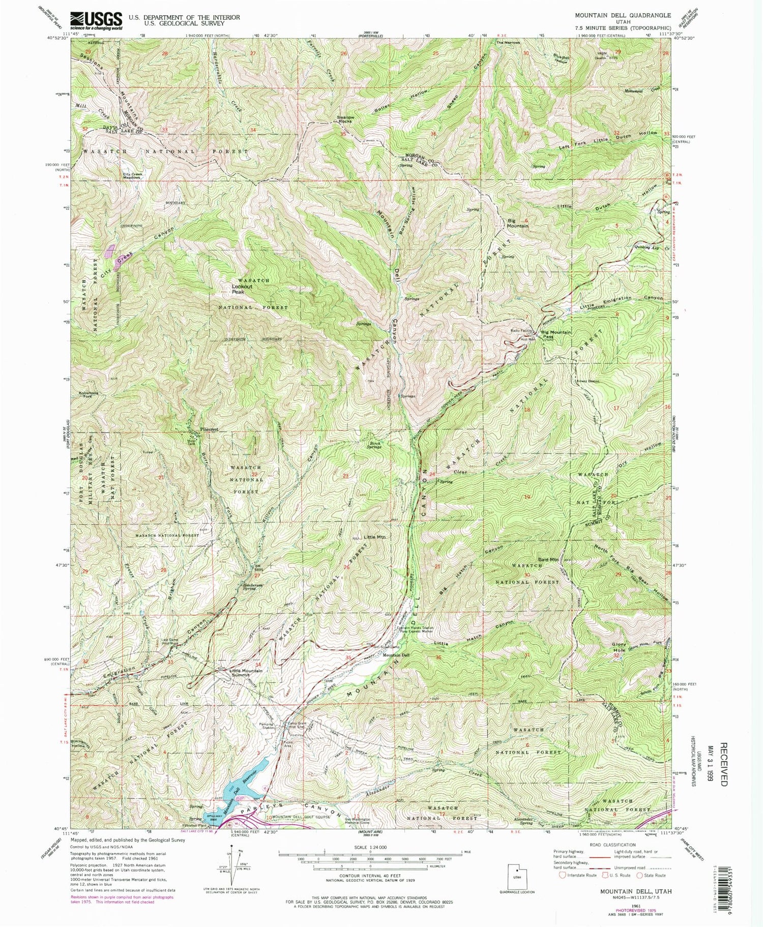
Classic USGS Mountain Dell Utah 7.5'x7.5' Topo Map
Couldn't load pickup availability
Historical USGS topographic quad map of Mountain Dell in the state of Utah. Typical map scale is 1:24,000, but may vary for certain years, if available. Print size: 24" x 27"
This quadrangle is in the following counties: Davis, Morgan, Salt Lake, Summit.
The map contains contour lines, roads, rivers, towns, and lakes. Printed on high-quality waterproof paper with UV fade-resistant inks, and shipped rolled.
Contains the following named places: Alexander Creek, Alexander Spring, Bald Mountain, Big Hatch Canyon, Big Mountain, Big Mountain Pass, Birch Springs, Blue Bell Hollow, Boiler Hollow, Box Spring Hollow, Brigham Fork, Burr Fork, Camp Grant, City Creek Meadows, Clear Creek, Ephraim Hanks Station Pony Express Marker, Freeze Creek, George Washington Memorial Grove, Glory Hole, Glory Hole Fork, Henderson Spring, Kelvin Grove, Killyon Canyon, Last Camp, Little Hatch Canyon, Little Mountain, Little Mountain Summit, Lookout Peak, Maple Grove, Mountain Dell, Mountain Dell Canyon, Pinecrest, Swallow Rocks, The Narrows, The Sheep Trail, Mountain Dell Reservoir, Mountain Dell Dam, Killyons, Little Mountain, Maple City, Margarethe, Mountain Dell Park, Mountain Top Park, Mountain Dell Golf Course, Emigration Canyon Census Designated Place, Metro Township of Emigration Canyon, Little Dell Reservoir