MyTopo
Classic USGS Mountain Lake Michigan 7.5'x7.5' Topo Map
Couldn't load pickup availability
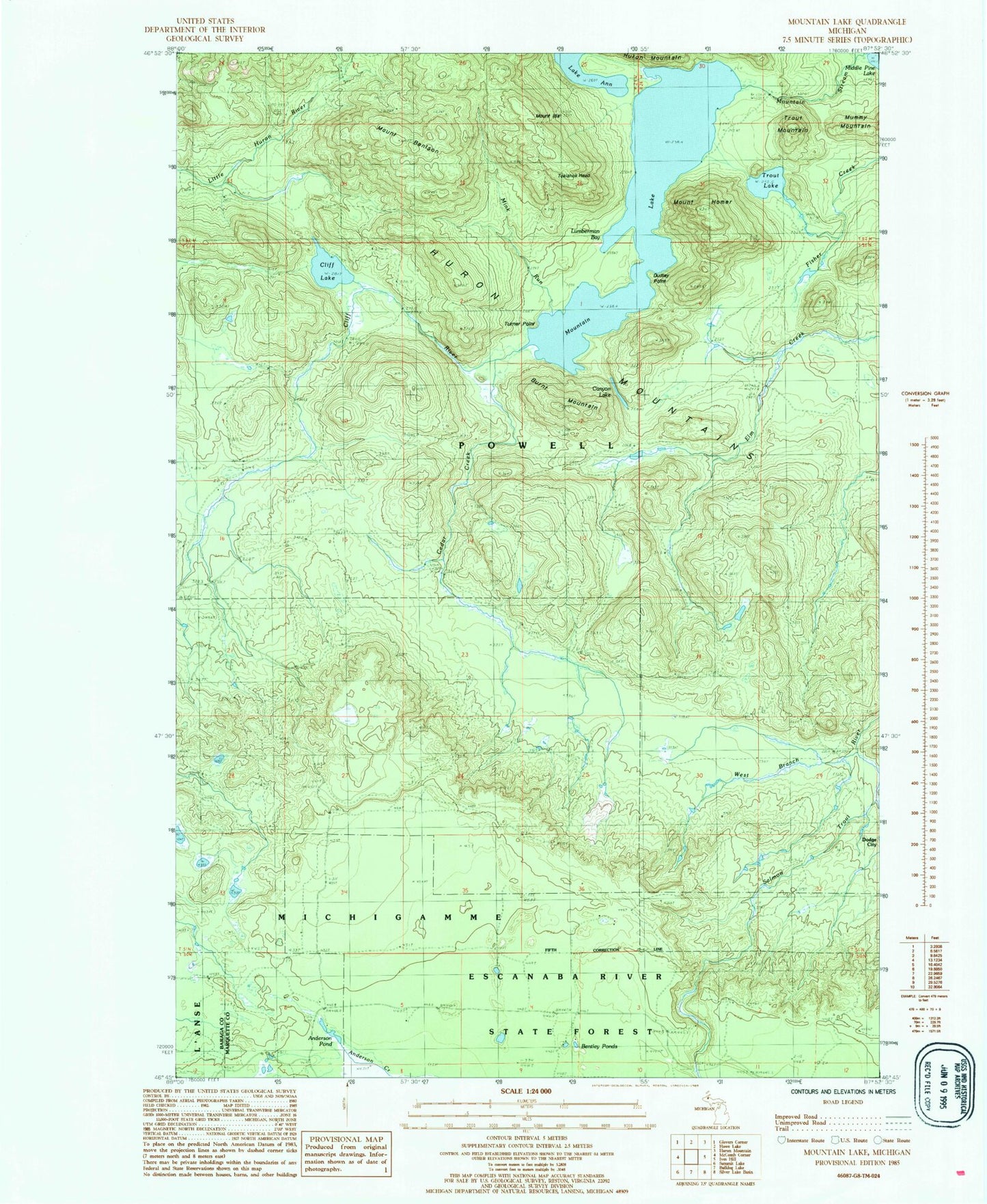
Historical USGS topographic quad map of Mountain Lake in the state of Michigan. Typical map scale is 1:24,000, but may vary for certain years, if available. Print size: 24" x 27"
This quadrangle is in the following counties: Baraga, Marquette.
The map contains contour lines, roads, rivers, towns, and lakes. Printed on high-quality waterproof paper with UV fade-resistant inks, and shipped rolled.
Contains the following named places: Lake Ann, Mount Benison, Burnt Mountain, Canyon Lake, Cedar Creek, Cliff River, Dudley Point, Mount Homer, Mount Ida, Lumberman Bay, Mink Run, Mountain Lake, Mountain Stream, Mummy Mountain, Tokiahok Head, Trout Lake, Trout Mountain, Turner Point, West Branch Salmon Trout River, Cliff Lake, Bentley Ponds, Anderson Pond, Turkey Neck Falls, Forty Foot Falls