MyTopo
Classic USGS Mountain View SW Arkansas 7.5'x7.5' Topo Map
Couldn't load pickup availability
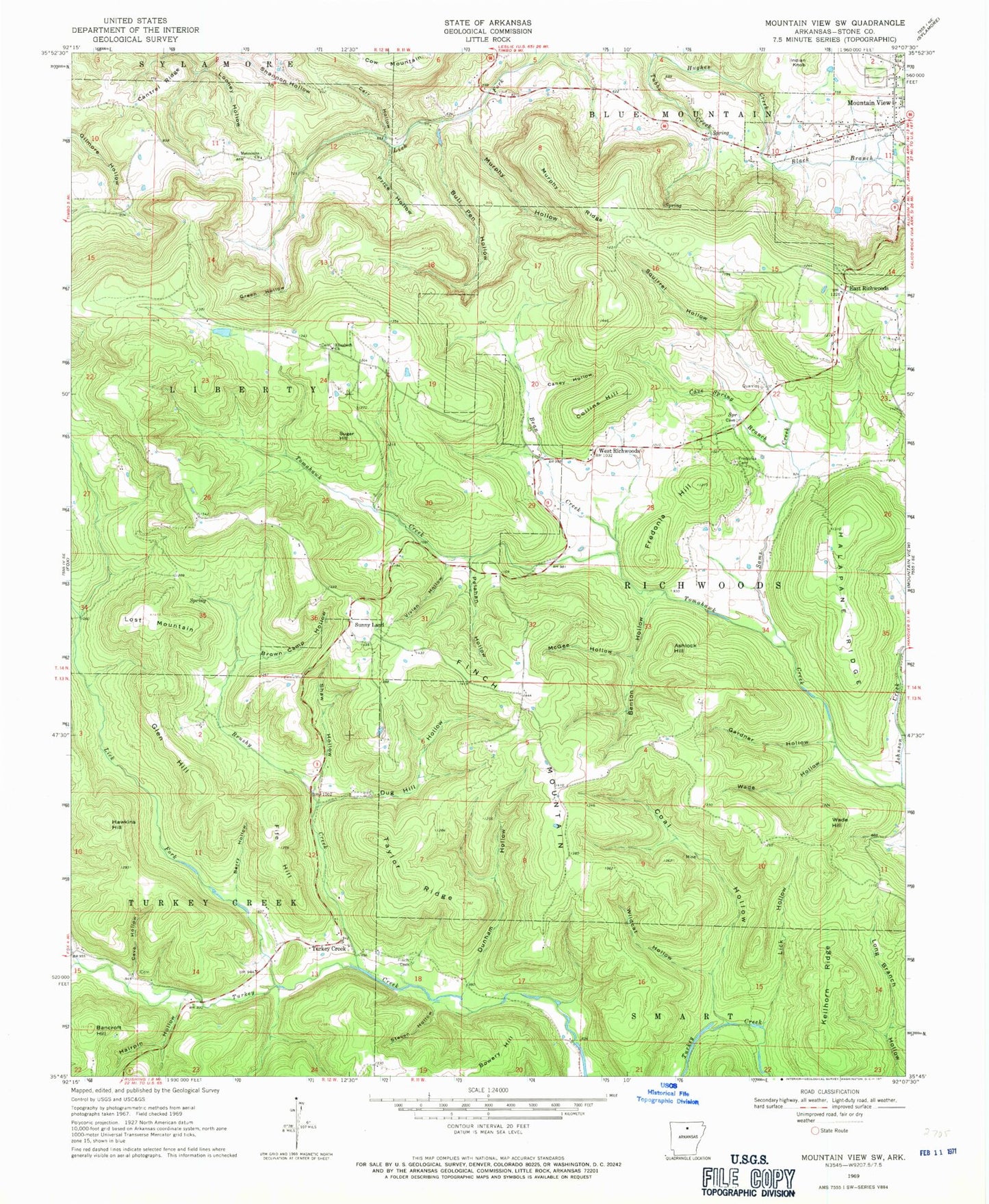
Historical USGS topographic quad map of Mountain View SW in the state of Arkansas. Map scale may vary for some years, but is generally around 1:24,000. Print size is approximately 24" x 27"
This quadrangle is in the following counties: Stone.
The map contains contour lines, roads, rivers, towns, and lakes. Printed on high-quality waterproof paper with UV fade-resistant inks, and shipped rolled.
Contains the following named places: Ashlock Hill, Bancroft Hill, Bean Creek, Benton Hollow, Berry Hollow, Black Branch, Brown Camp Hollow, Brushy Creek, Bull Pen Hollow, Caney Hollow, Cantrel Ridge, Carr Hollow, Cave Hollow, Cave Spring Branch, Cave Spring Hollow, Coal Hollow, Collins Hill, Cow Mountain, Dodd Mountain Fire Department Station 3, Dug Hill Hollow, Dunham Hollow, East Richwoods, Elizabeth Church, Fife Hill, Finch Cemetery, Finch Mountain, Fredonia Cemetery, Fredonia Hill, Gardner Hollow, Glen Hill, Goodson Branch, Goodson Hollow, Green Hollow, Hairpin Hollow, Halapane Ridge, Hawkins Hill, Hughes Creek, Indian Knob, Johnson Creek, Keilhorn Ridge, Lick Fork, Lick Hollow, Long Branch Hollow, Looney Hollow, Lost Mountain, McGee Hollow, Mennonite Church, Murphy Hollow, Murphy Ridge, Pelahan Hollow, Price Hollow, Sams Creek, Shannon Hollow, Shaw Hollow, Squirrel Hollow, Stone County, Stone County Sheriff's Office, Sugar Hill, Sunny Land, Sunnyland Volunteer Fire Department Station 1, Sunnyland Volunteer Fire Department Station 2, Taylor Ridge, Timbo Fire and Rescue Happy Hollow, Township of Liberty, Township of Richwoods, Township of Turkey Creek, Turkey Creek, Vivian Hollow, Wade Hill, Wade Hollow, West Richwoods, West Richwoods Church, West Richwoods School, Wildcat Hollow


